Calamianes
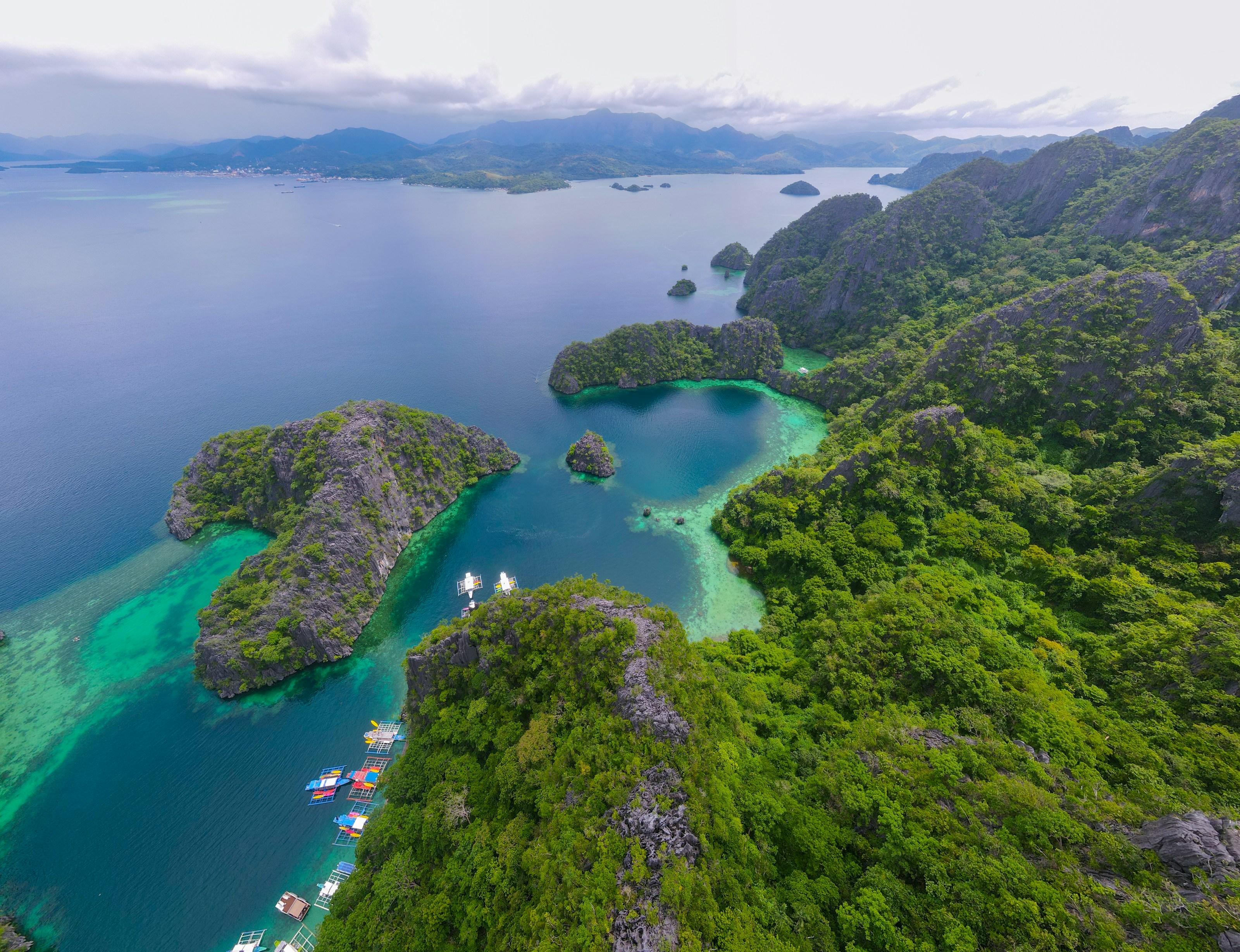
Where the South China Sea meets the Sulu Sea. The ships sunk in September 1944 still lie on the floor of the bays around Coron.
- Towns
- 4
- Barangays
- 61
- Land
- 1,777 km²
This is Palawan
Drawing the island, 0%
An independent guide to the province’s 24 towns, told as one flight down its real terrain, from the Calamian Islands to Balabac.
Press F to fly the plane yourselfTapto fly the plane yourselfor scroll, and it flies you down the island
Where the South China Sea meets the Sulu Sea. The ships sunk in September 1944 still lie on the floor of the bays around Coron.
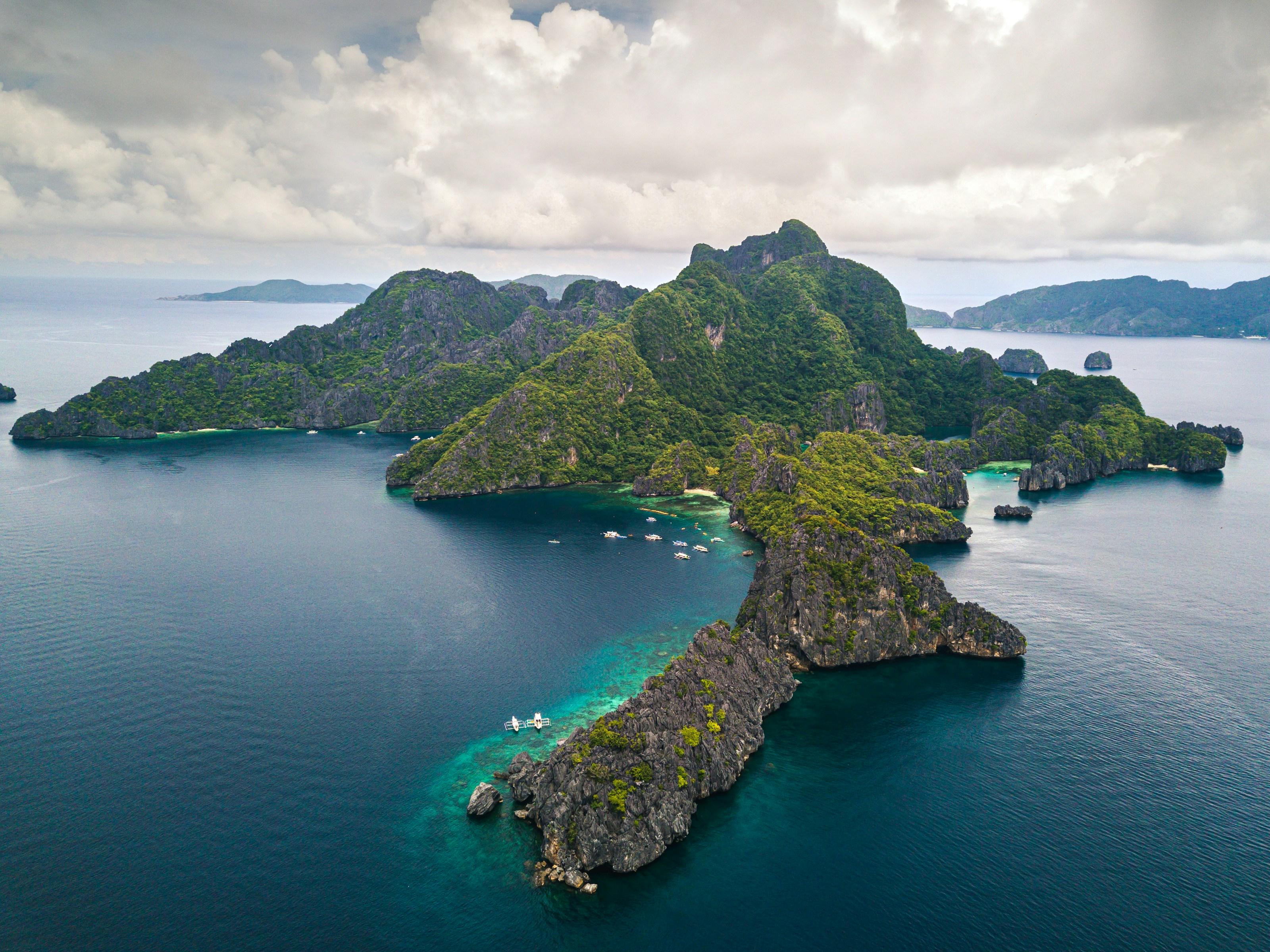
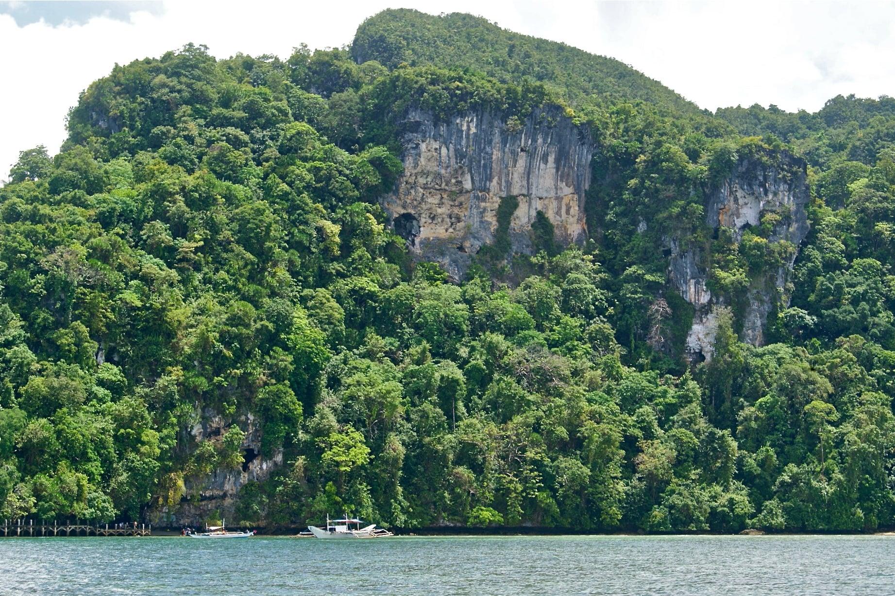
Limestone islands stand in Bacuit Bay. Across the mainland, Malampaya Sound keeps its Irrawaddy dolphins.
Far out in the Sulu Sea, the Cuyo islands keep their own language, and Spanish-era forts still enclose their churches.
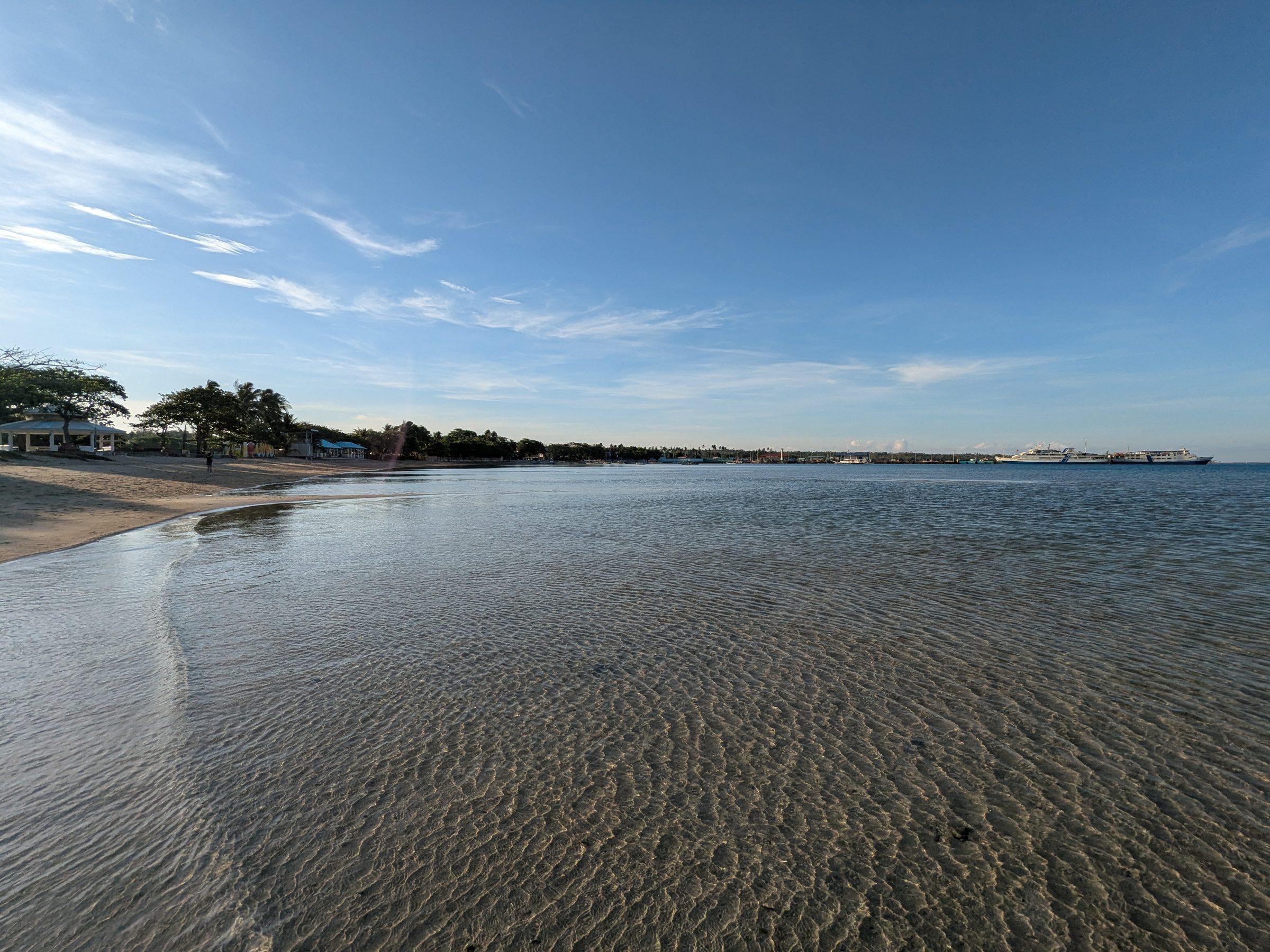
The mainland narrows. On the west coast, the 14.7 km of Long Beach; on the east, Dumaran, where forests still hold the Philippine cockatoo.
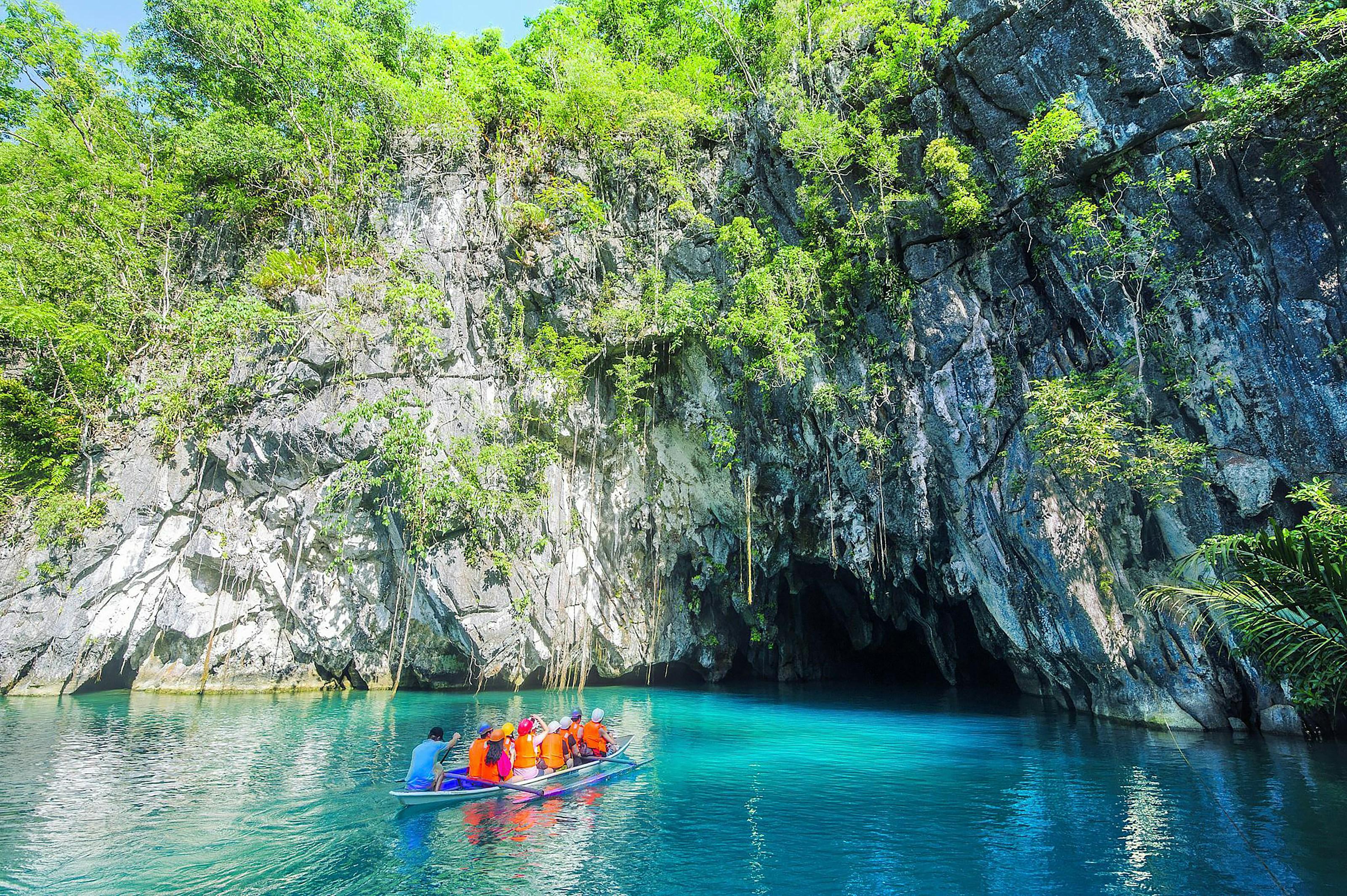
The city in the middle, and across the island from it, a river that runs underground straight into the sea.
Rice fields down the east coast. Over the mountains, the Tabon Caves, where human fossils some 22,000 years old were found.
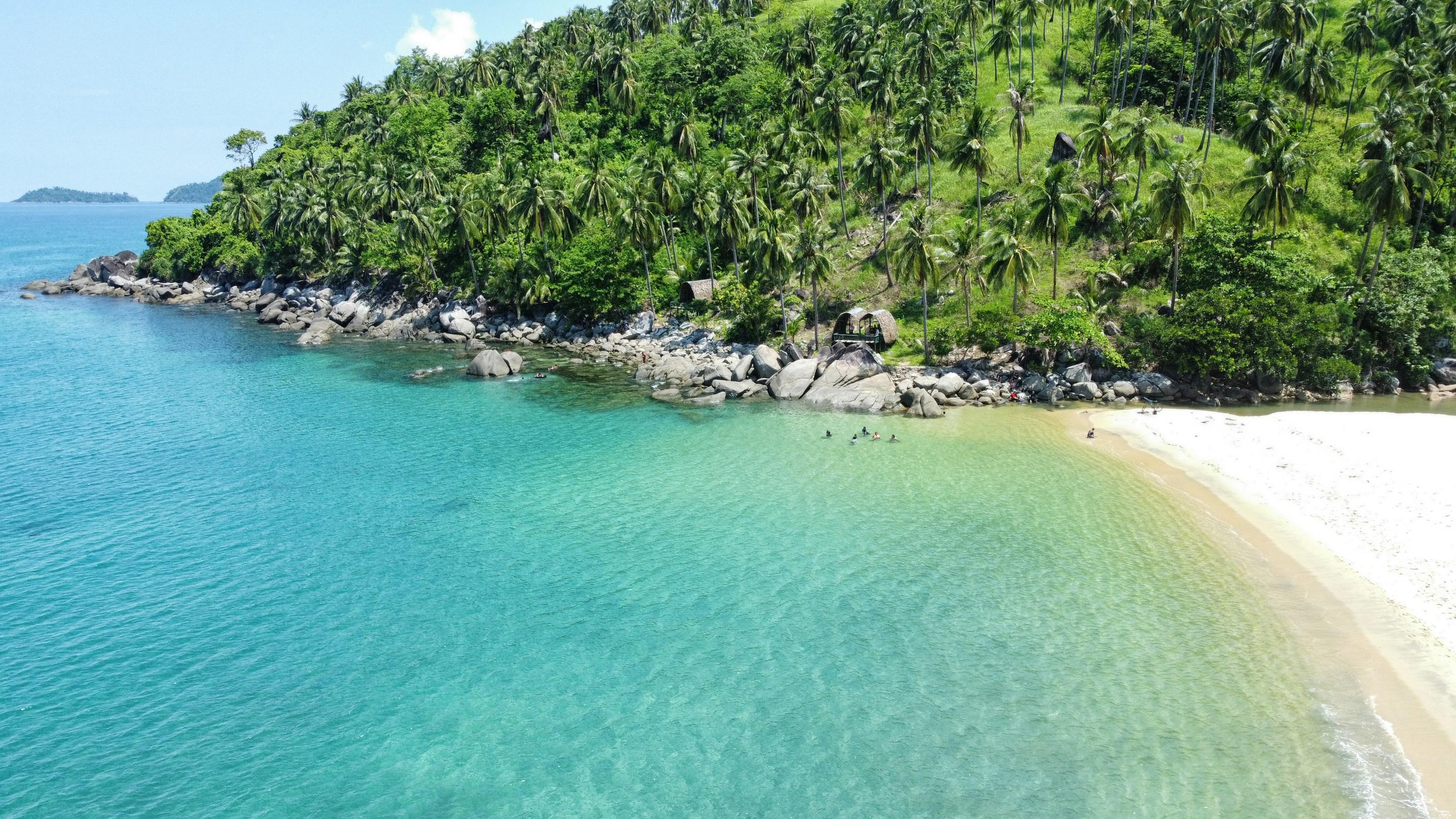
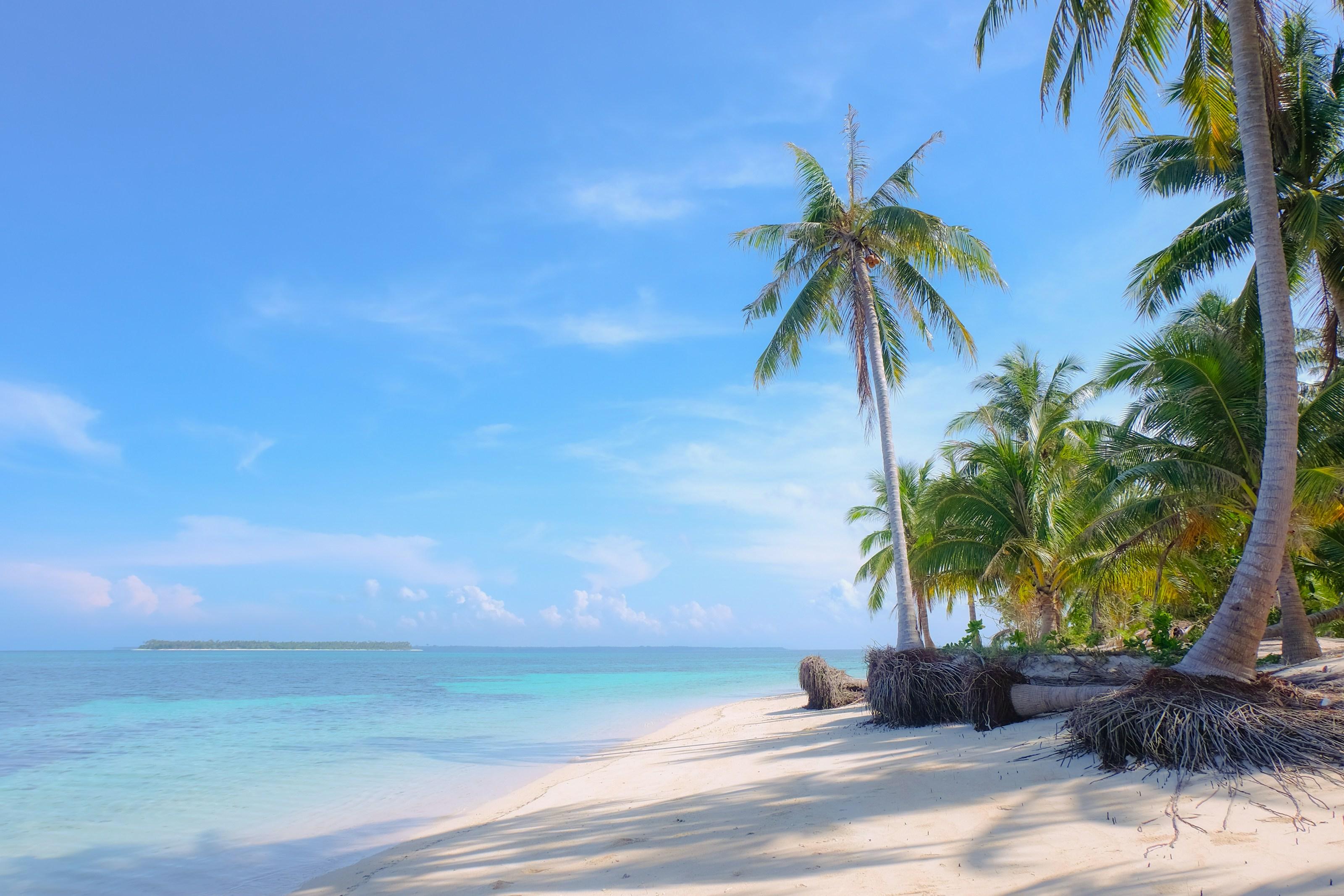
Mt. Mantalingahan, 2,085 m, the highest peak in the province. Beyond the southern tip, the Balabac islands reach toward Sabah.
One more town lies about 520 km out to sea, northwest of Puerto Princesa: Kalayaan, in the Spratly Islands. It is Palawan too.
Measured on the PSGC 2023 town boundaries and Copernicus WorldDEM-30 terrain.
The island as an engineer would draw it, from the province’s own boundaries and terrain. Scroll to assemble it; once it is whole, tap two points to measure the distance between them.
Tap any two points on the plan to measure the distance between them.
Palawan belongs to a different faunal region from the rest of the Philippines, and several of its animals live here and nowhere else.
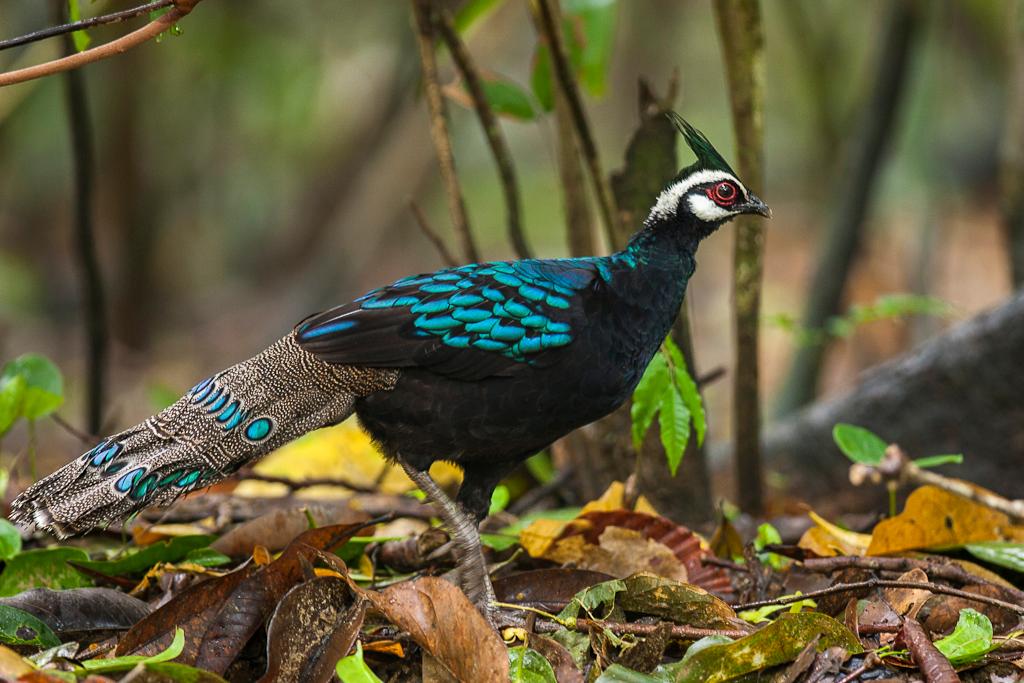
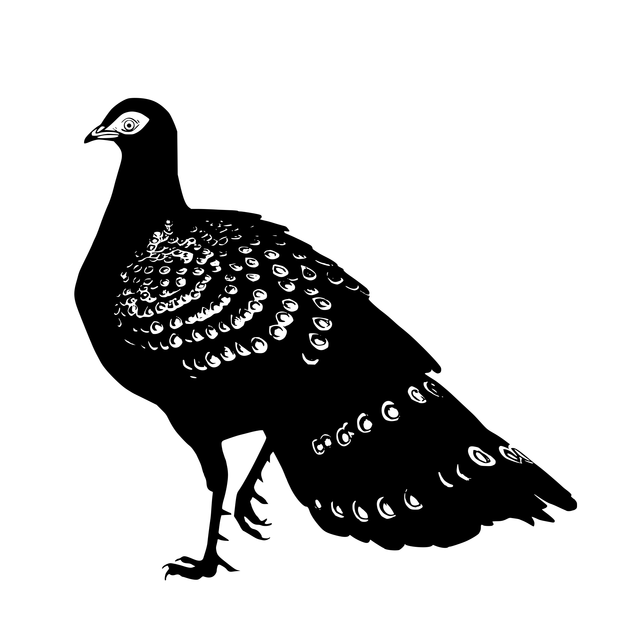 Palawan peacock-pheasant
Polyplectron napoleonis
Palawan only. It is the bird on the provincial seal.
Vulnerable, on the IUCN Red List
Photo: Francesco Veronesi, CC BY-SA 2.0, via Wikimedia Commons
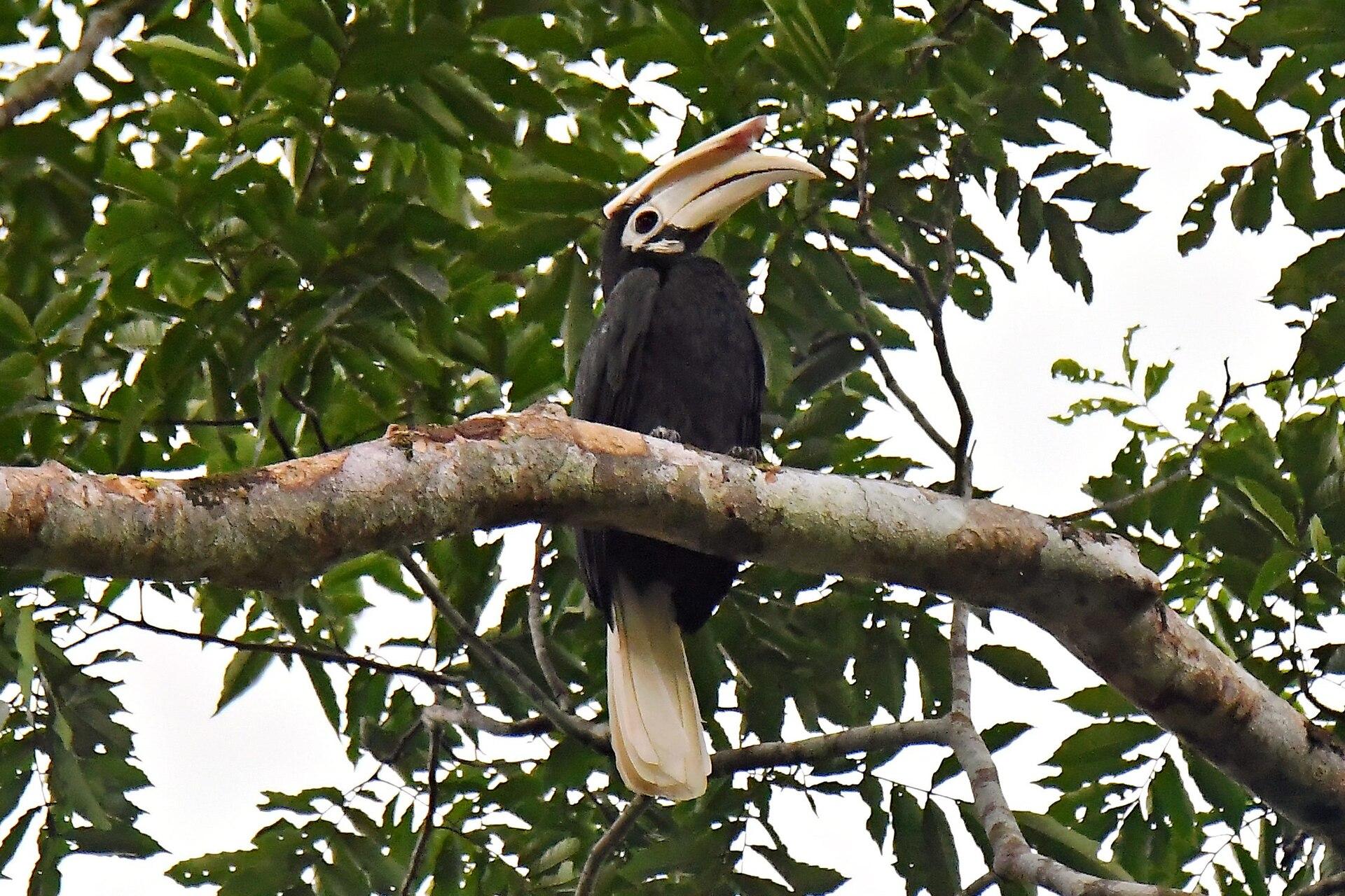
 Palawan hornbill
Anthracoceros marchei
Palawan and its nearby islands.
Vulnerable, on the IUCN Red List
Photo: RanieljoseMCastaneda, CC BY 4.0, via Wikimedia Commons
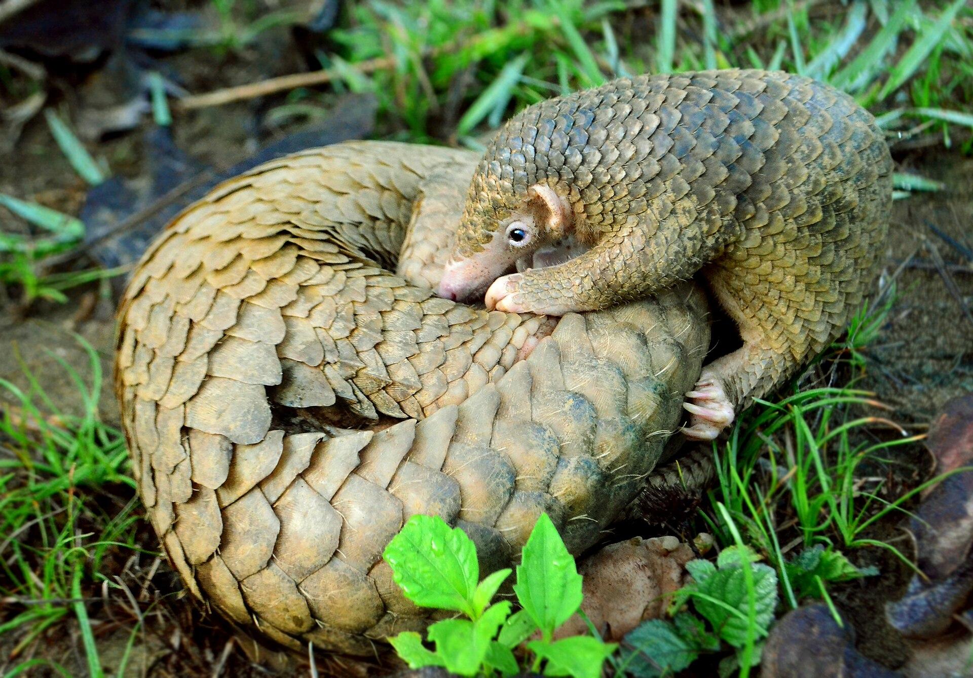
 Palawan pangolin
Manis culionensis
The Palawan faunal region, and nowhere else.
Critically endangered, on the IUCN Red List
Photo: Gregg Yan (uploaded by Shukran888), CC BY-SA 4.0, via Wikimedia Commons
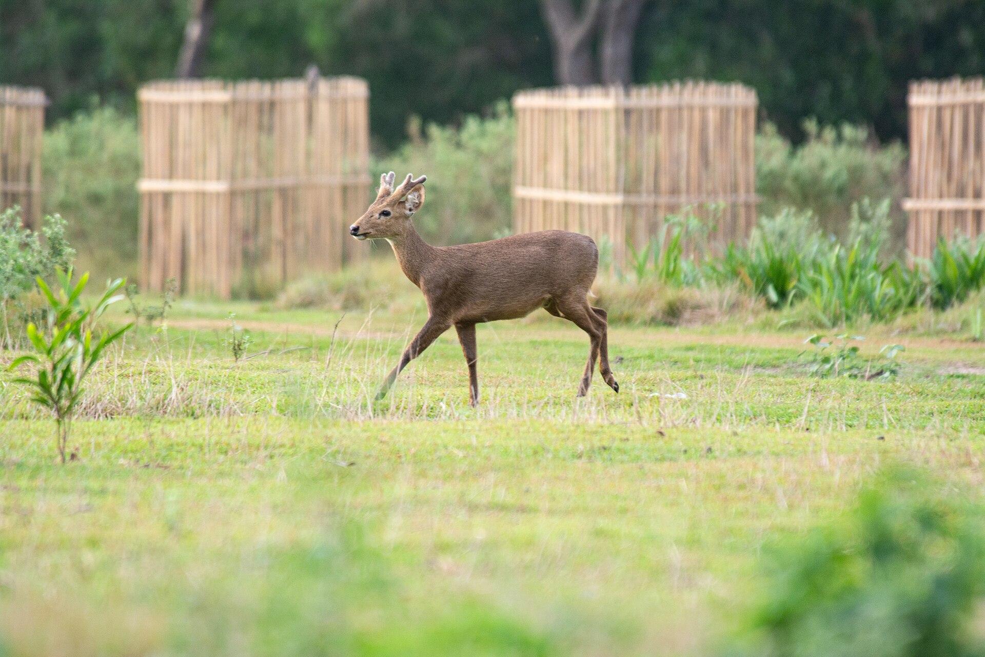
 Calamian deer
Axis calamianensis
The Calamian Islands, in the far north.
Endangered, on the IUCN Red List
Photo: Bien02, CC BY 4.0, via Wikimedia Commons
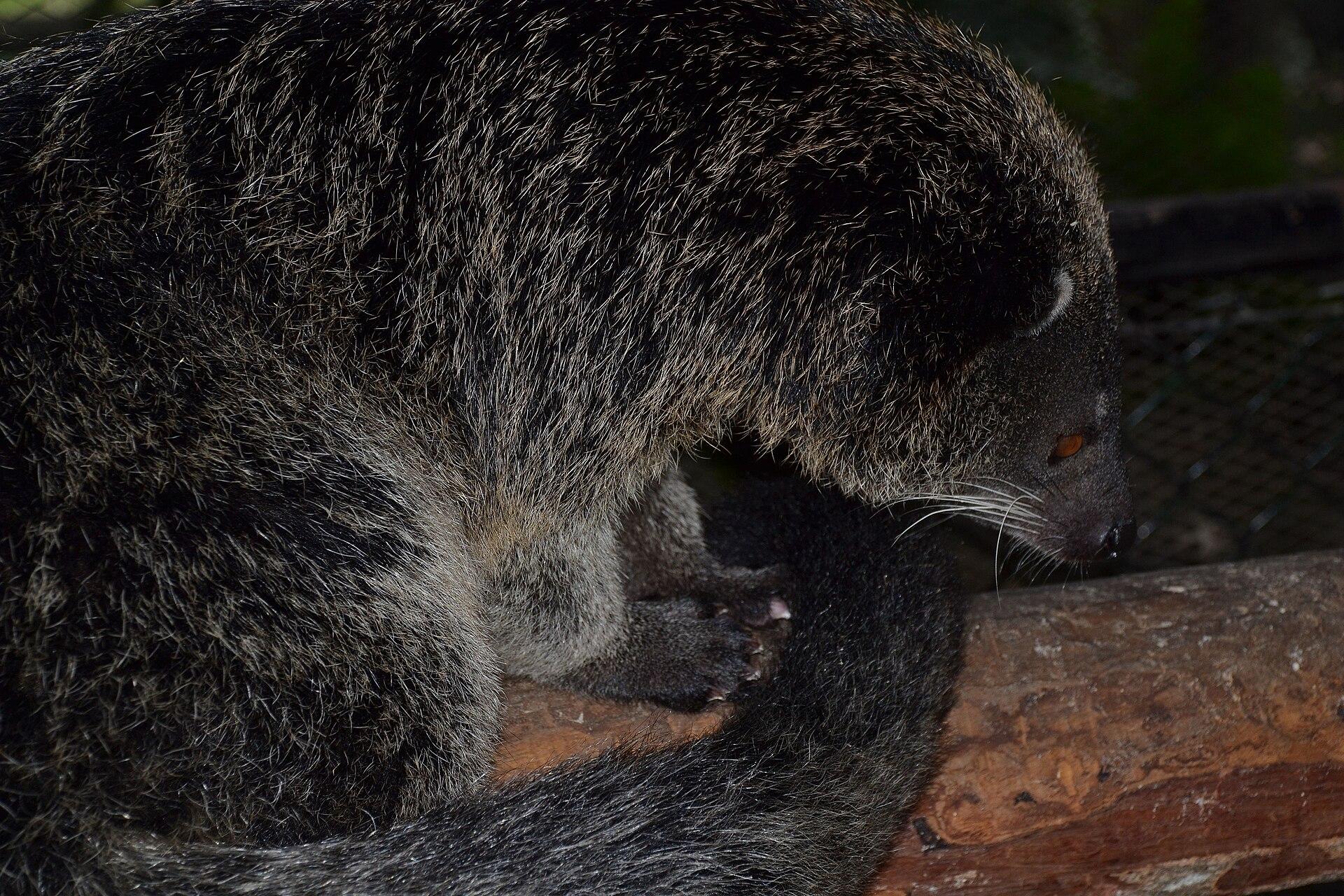
 Binturong, the bearcat
Arctictis binturong
Its own subspecies lives on Palawan.
Vulnerable, on the IUCN Red List
Photo: shankar s., CC BY 2.0, via Wikimedia Commons
Silhouettes from PhyloPic. Polyplectron, drawn from the wider group: Yuxin Li, CC BY 4.0. Anthracoceros, drawn from the wider group: Rohit N, CC0. Manis culionensis: Steven Traver, CC0. Cervidae, drawn from the wider group: Steven Traver, CC0. Arctictis binturong: Margot Michaud, CC0.
The outline draws itself while a line measures the main island, 420 km tip to tip, then four real places in the order you would reach them.
Kayangan Lake: M Becher, via Unsplash. Big Lagoon: this guide’s own photograph. The Underground River: Elaine Ore, via Unsplash. Balabac: Cris Tagupa, via Unsplash.