Puerto Princesa is a highly urbanized city on the shore of Puerto Princesa Bay, midway along Palawan's mainland, and the main gateway to the province. With 2,381 km² of land it is the largest city in Palawan and in MIMAROPA, and one of the largest in the country by area.
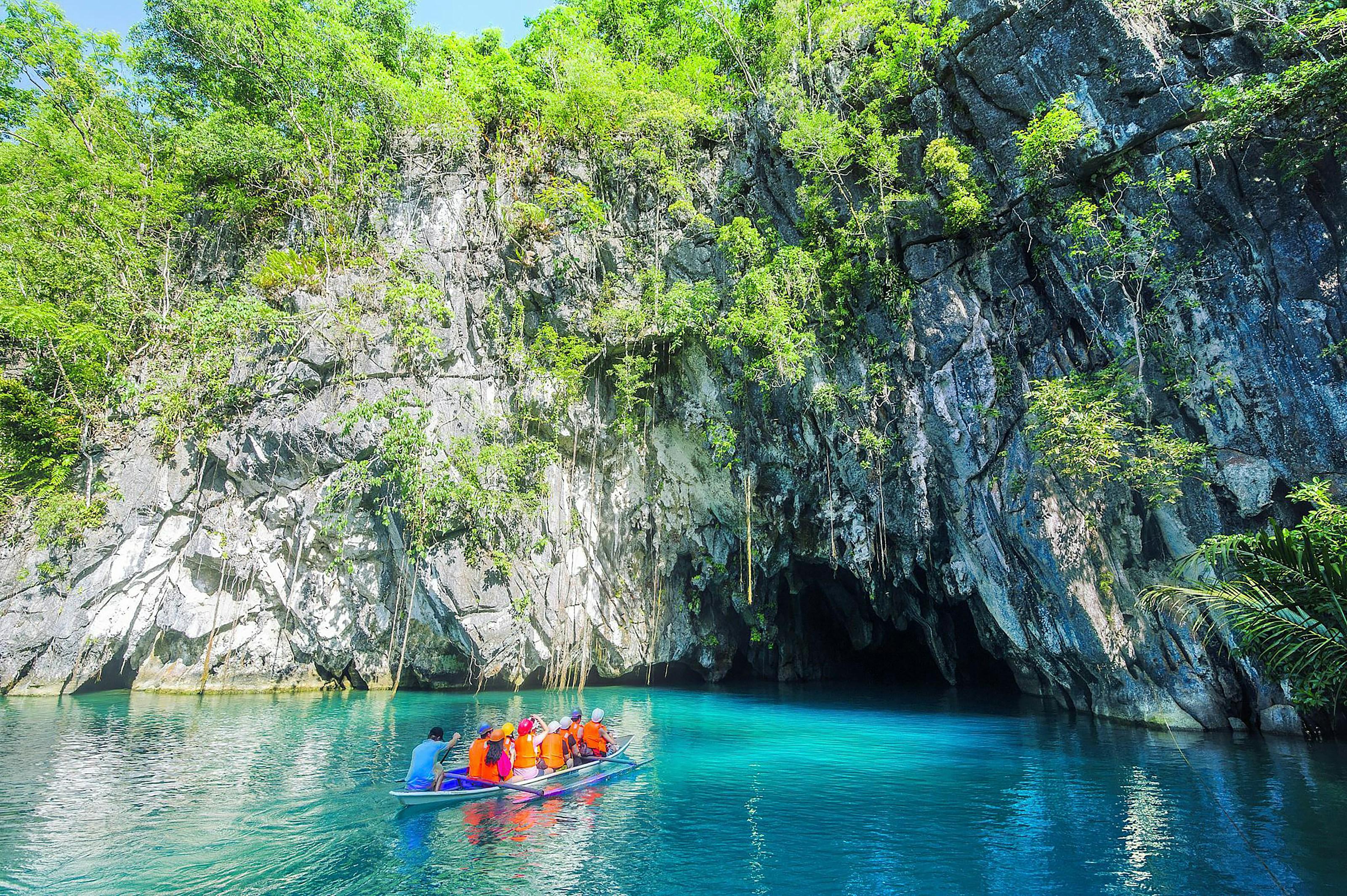
About three quarters of its people live in the city proper by the bay. The rest of its 66 barangays reach across the island to the West Philippine Sea coast, where the Puerto-Princesa Subterranean River National Park, a UNESCO World Heritage Site, protects a limestone karst landscape whose underground river flows straight into the sea.
- Nearest gateway
- Puerto Princesa International Airport (PPS), in the city proper; Puerto Princesa port
- Area
- Puerto Princesa
- On the map
- Open Puerto Princesa in Google Maps
The local government
- Mayor
- Lucilo Bayron
- Vice mayor
- Jimbo Maristela
- City of
- Puerto Princesa
- PSGC code
- 1731500000
- Barangays
- 66
- Land area
- 2,381 km²
Elected on 12 May 2025 for the term to 30 June 2028, named as on the ballot, from the count COMELEC released (via Rappler); checked 9 November 2026. An official can be suspended or replaced during a term, so the town hall has the last word.
In an emergency
Call 911From the provincial emergency page, checked 8 November 2026. Every emergency number
- City Government of Puerto PrincesaOfficial website, opens in a new tab
- City Tourism of Puerto PrincesaTourism office, opens in a new tab
- City Government of Puerto Princesa on FacebookFacebook page, opens in a new tab
- Puerto Princesa City Tourism on FacebookFacebook page, opens in a new tab
Puerto Princesa in pictures
Keep scrolling and they travel past. Press one to see it whole.
Getting to Puerto Princesa
- From Manila
- Flights from Manila to Puerto Princesa International Airport take about 1 hour 15 minutes, with daily services; there are also flights from Cebu, Davao, Iloilo and Clark. By sea, 2GO sails weekly from Manila, a trip of about 32 hours.
Its people and its past
Spanish colonists founded the settlement as Puerto de la Princesa on 4 March 1872, and the bay soon became the centre of Spanish naval operations in the region. The town became a city on 1 January 1970.
The city tourism office describes Puerto Princesa as a meeting place of many cultures. Cuyonon families are among the oldest residents and Cuyonon is still the main local language, while the Tagbanua and Batak are among the indigenous peoples of the city's uplands and coasts.
Puerto Princesa marks its founding anniversary with the Balayong Festival on 4 March, named for the balayong, or Palawan cherry, tree. March 4 - Balayong Festival - Puerto Princesa City Tourism
Puerto Princesa's nicknames include 'The City in the Forest' and 'Eco-Tourism Center of the Philippines'. Puerto Princesa - Wikipedia
Signature places in Puerto Princesa
Also around Puerto Princesa
island
Honda Bay
Bay on the city's mid-eastern coast, north of the city proper; its islands include Cowrie, Bat, Arrecife and Isla Pandan, with snorkelling at Pambato Reef.
Honda Bay Tour - Puerto Princesa City Tourismheritage
Plaza Cuartel
National Historical Site: the restored ruin of an old garrison where Japanese soldiers burned about 150 American prisoners of war on 14 December 1944.
Historical Landmarks - Puerto Princesa City Tourismheritage
Iwahig Prison and Penal Farm
Penal farm set up by the Americans in 1904 and called a 'prison without bars'; inmates tend farms instead of spending time behind bars.
Historical Landmarks - Puerto Princesa City Tourismmountain
Ugong Rock
Rock in Barangay Tagabinet, a community-based tourism site; visitors climb to the summit for views of karst mountains and paddy fields, then zipline down.
CBST Destinations - Puerto Princesa City Tourismnature
Crocodile Farm and Nature Park
Facility on South Road, Barangay Irawan, conserving the saltwater and endemic Philippine freshwater crocodiles, with a nature park sheltering Palawan wildlife.
Crocodile Farm and Nature Park - Puerto Princesa City Tourismheritage
Immaculate Conception Cathedral
Neo-Gothic Catholic cathedral near the Port of Puerto Princesa; the present structure took almost a century to build and was completed in 1961.
Immaculate Conception Cathedral (Puerto Princesa) - Wikipedia
Where it is
Palawan’s one city and its capital, where the main airport is.
Its nearest towns
Places within reach