This is Palawan
The flightAreasTownsLGUsToursGetting aroundBefore you go
This is Palawan
The flightAreasTownsLGUsToursGetting aroundBefore you go

© 2026 This is Palawan. All rights reserved.

Photographs and map data belong to their owners, credited where they appear and on the credits page.

Emergency numbersCreditsPrivacy

An area of Palawan

Puerto Princesa

Puerto Princesa is the province's highly urbanized city and its main gateway, set on Puerto Princesa Bay in the middle of the mainland. It reaches across the island to the west coast, where the Puerto-Princesa Subterranean River National Park, a UNESCO World Heritage Site, protects an underground river that runs straight into the sea.
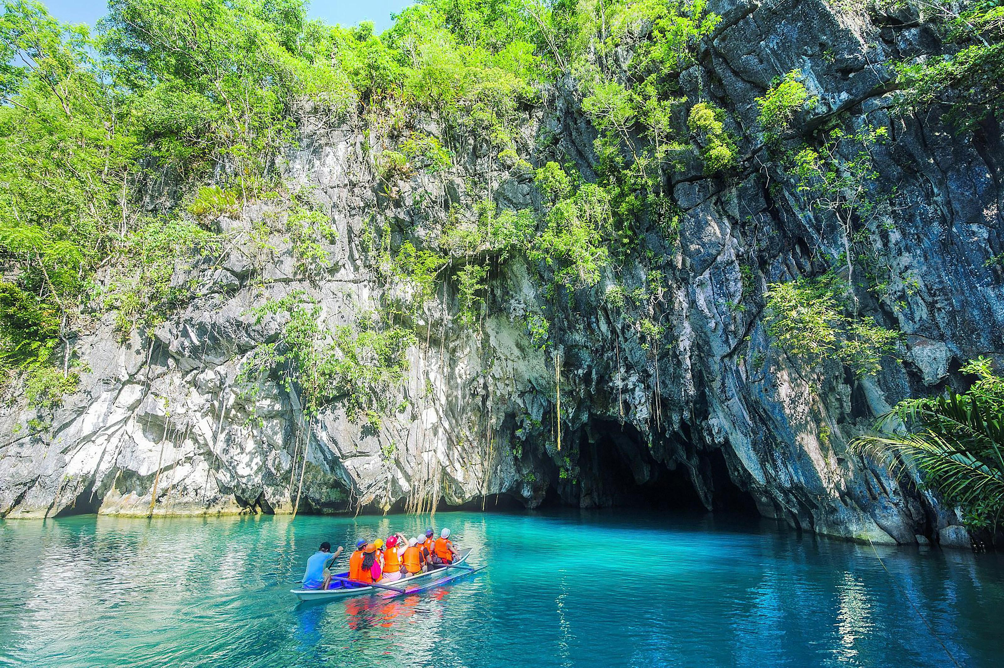
Visitors in a paddle boat at the mouth of the Puerto Princesa Underground River, under a forested limestone cliff
Photo: Elaine Ore, via Unsplash
Towns
1
Barangays
66
Land
2,381 km²
Signature places
1

Founded by the Spanish in 1872, it is a meeting place of many cultures, with Cuyonon families among its oldest residents.

Getting around

Puerto Princesa International Airport is in the city proper, and buses and vans for the north leave from the terminal at the New Public Market. Tricycles and jeepneys cover the city; for day trips, vans are arranged through hotels or tour operators.

Its towns

Point at a town
  • Visitors in a paddle boat at the mouth of the Puerto Princesa Underground River, under a forested limestone cliffPuerto PrincesaCity, 66 barangays, 2,381 km²

Puerto Princesa in pictures

Keep scrolling and they travel past. Press one to see it whole.

Visitors in a paddle boat at the mouth of the Puerto Princesa Underground River, under a forested limestone cliffPhoto: Elaine Ore, via Unsplash
The stone gateway of Plaza Cuartel in Puerto Princesa, with a group of visitorsPhoto: Filipinayzd, CC BY-SA 4.0, via Wikimedia Commons
The palm-lined Baywalk along the water in Puerto PrincesaPhoto: Patrickroque01, CC BY-SA 4.0, via Wikimedia Commons
The cave mouth of the underground river below a forested limestone cliff, Puerto Princesa Subterranean River National ParkPhoto: David Milmont, via Unsplash
A paddle boat at the cave mouth of the Underground River, in turquoise waterPhoto: Bert Andone, CC BY-SA 4.0, via Wikimedia Commons
Karst hills and rice fields on the way to the Underground River parkPhoto: Vyacheslav Argenberg, CC BY 4.0, via Wikimedia Commons
Nipa palms along the clear lagoon at the foot of the limestone cliff, Underground RiverPhoto: Vyacheslav Argenberg, CC BY 4.0, via Wikimedia Commons
A man waiting in a bangka on green water under the cliffs of the Underground River parkPhoto: Philip Nalangan, CC BY-SA 4.0, via Wikimedia Commons

Places in Puerto Princesa

  • Visitors in a paddle boat at the mouth of the Puerto Princesa Underground River, under a forested limestone cliffPuerto Princesa Subterranean River National ParkPuerto Princesa
North of hereNorth CentralSouth of hereSouth Central