This is Palawan
The flightAreasTownsLGUsToursGetting aroundBefore you go
This is Palawan
The flightAreasTownsLGUsToursGetting aroundBefore you go

© 2026 This is Palawan. All rights reserved.

Photographs and map data belong to their owners, credited where they appear and on the credits page.

Emergency numbersCreditsPrivacy

An area of Palawan

South Central

South of the city the national highway runs down the east coast through Aborlan, Narra and Sofronio Española, past rice fields and resettlement towns, while Quezon lies across the mountains on the west coast.
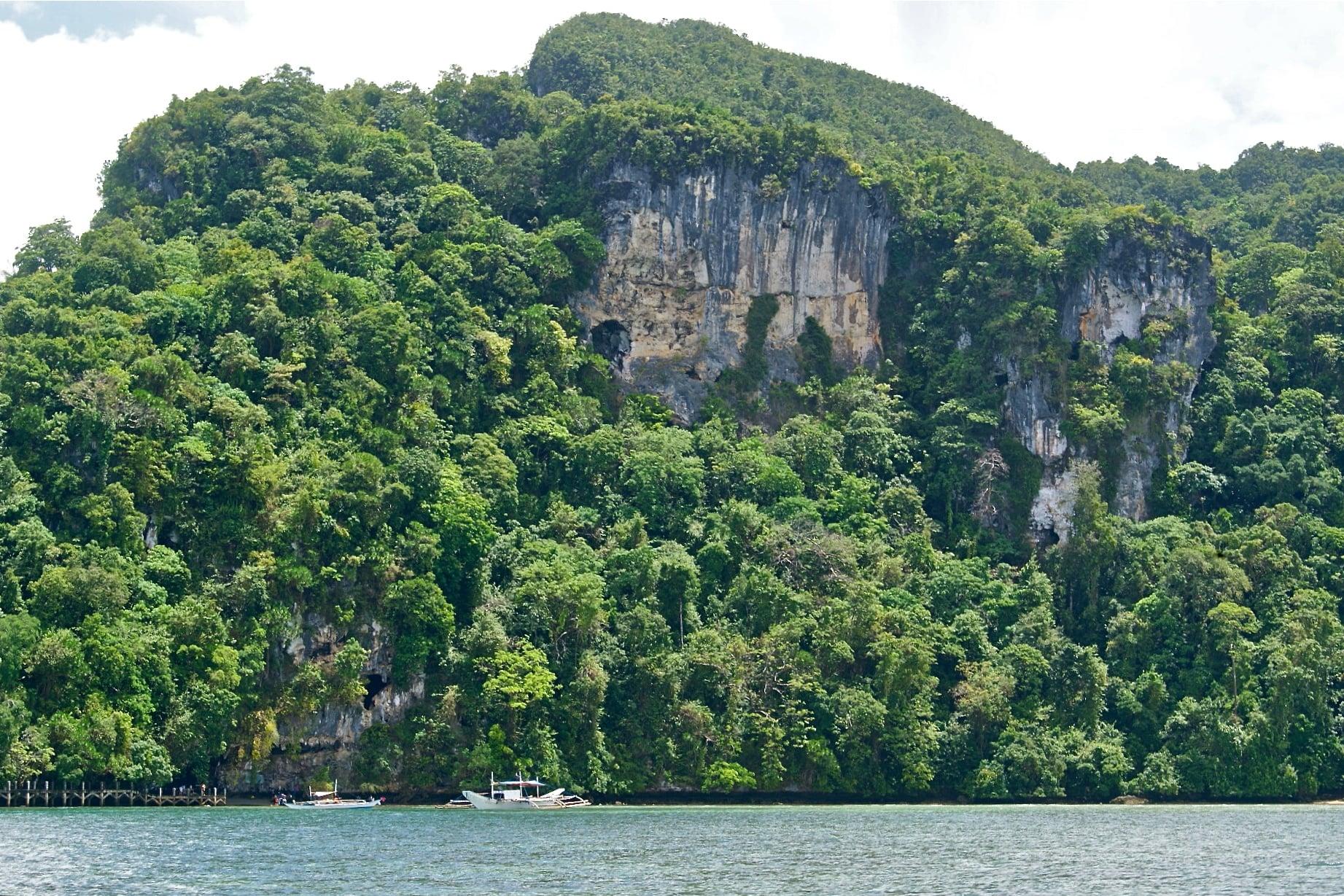
Forested limestone cliff of Lipuun Point with cave openings and moored boats at the Tabon Caves shoreline
Photo: Alexcooper1, CC BY-SA 3.0, via Wikimedia Commons
Towns
4
Barangays
65
Land
3,056 km²
Signature places
1

Narra is the province's rice granary and includes Rasa Island, a refuge of the Philippine cockatoo; Quezon holds the Tabon Caves, where human fossils some 22,000 years old were found.

Getting around

Everything here is reached by road from Puerto Princesa: Aborlan is 68 km south, Narra 92 km, Quezon 146 km and Sofronio Española about 163 km.

Its towns
Point at a town
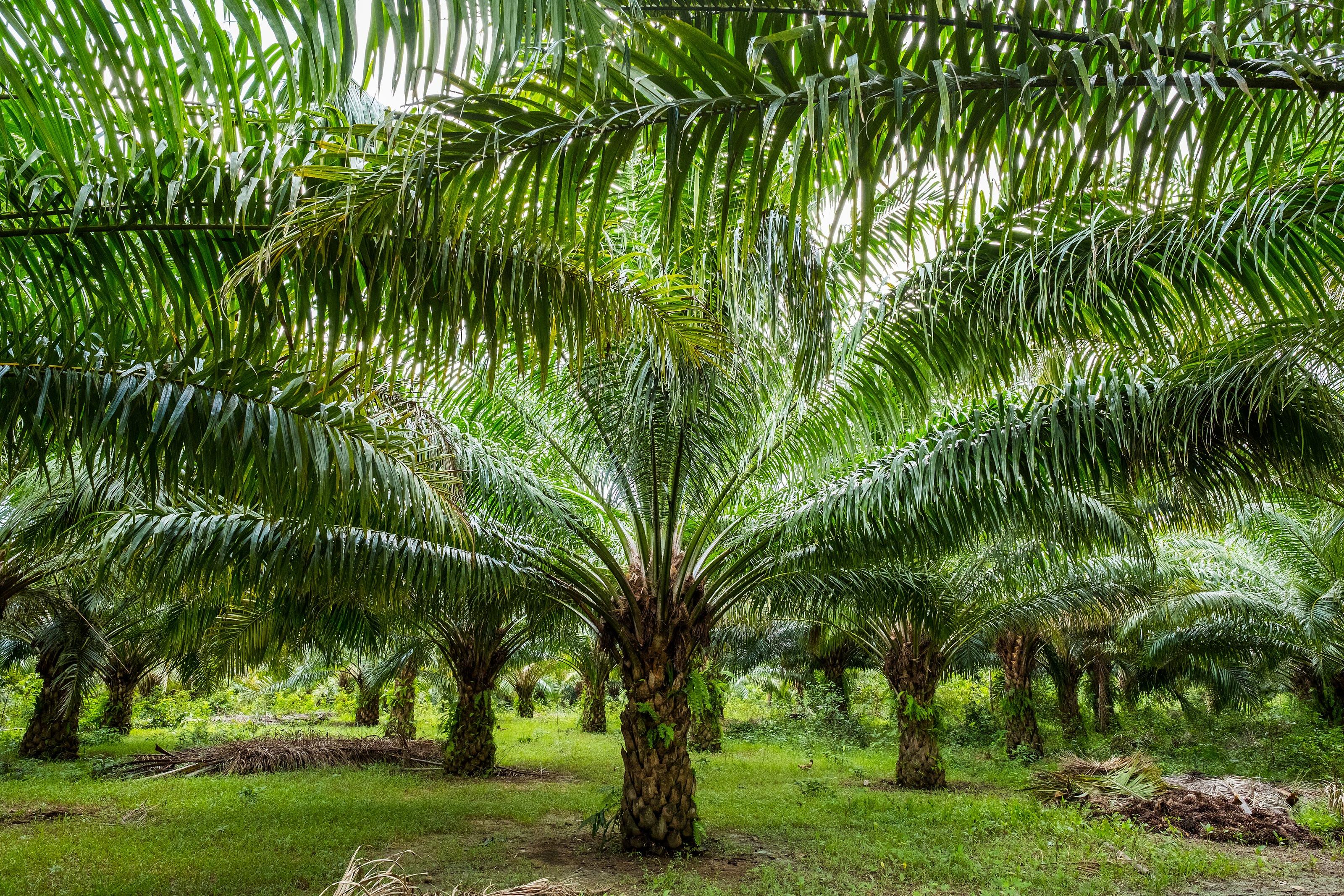
  • Rows of oil palms on the plain at Barangay Sagpangan, AborlanAborlanMunicipality, 19 barangays, 807 km²
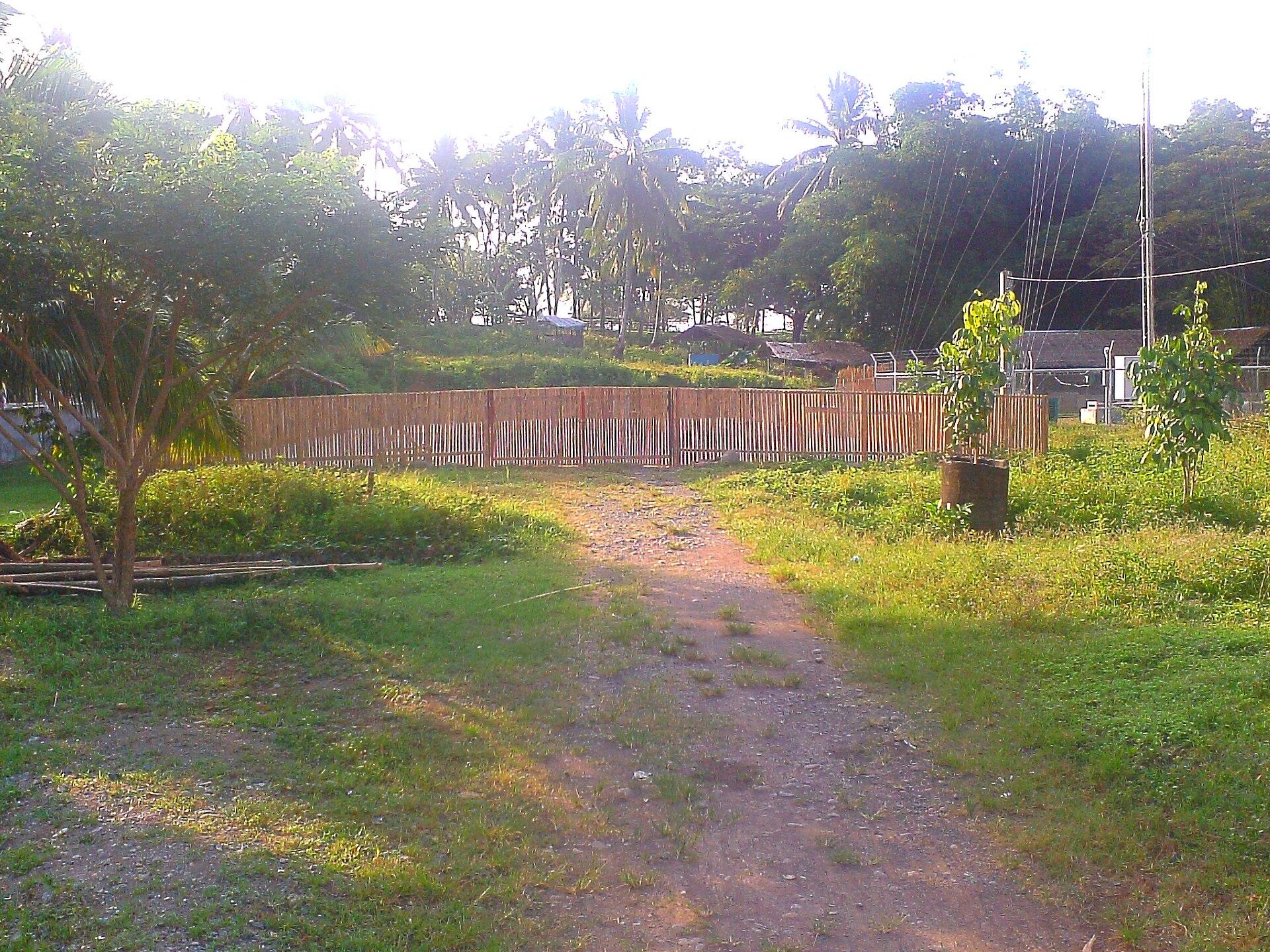
  • A dirt path through green grass and coconut palms in NarraNarraMunicipality, 23 barangays, 832 km²
  • Forested limestone cliff of Lipuun Point with cave openings and moored boats at the Tabon Caves shorelineQuezonMunicipality, 14 barangays, 943 km²
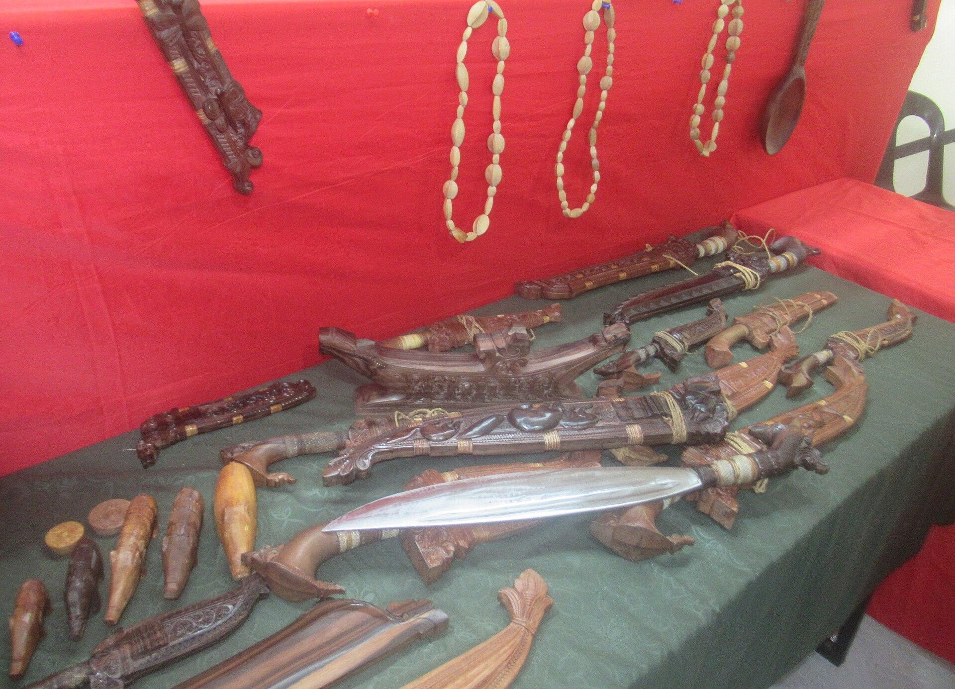
  • Carved knives and scabbards made by Pala'wan master woodcarver Simpio Mata of Sofronio EspañolaSofronio EspañolaMunicipality, 9 barangays, 474 km²

South Central in pictures

Keep scrolling and they travel past. Press one to see it whole.

Forested limestone cliff of Lipuun Point with cave openings and moored boats at the Tabon Caves shorelinePhoto: Alexcooper1, CC BY-SA 3.0, via Wikimedia Commons
Rows of oil palms on the plain at Barangay Sagpangan, AborlanPhoto: Jason Houston for USAID, Public domain, via Wikimedia Commons
A dirt path through green grass and coconut palms in NarraPhoto: Mozhar, CC BY-SA 3.0, via Wikimedia Commons
Carved knives and scabbards made by Pala'wan master woodcarver Simpio Mata of Sofronio EspañolaPhoto: P1898, CC BY 4.0, via Wikimedia Commons
A nipa hut in a green field among coconut palms in NarraPhoto: Mozhar, CC BY-SA 3.0, via Wikimedia Commons
A wooden boardwalk over the water to the Tabon Caves headland, QuezonPhoto: Felix A. Madriñan, CC BY-SA 4.0, via Wikimedia Commons
The long sandy beach at Barangay Malatgao, Narra, under a pale skyPhoto: Jimaggro, CC BY-SA 4.0, via Wikimedia Commons

Places in South Central

  • Forested limestone cliff of Lipuun Point with cave openings and moored boats at the Tabon Caves shorelineTabon CavesQuezon
North of herePuerto PrincesaSouth of hereThe Far South