Narra is a farming town on the east coast of southern mainland Palawan, 92 km from Puerto Princesa, and the province's main rice producer, often called its rice granary.
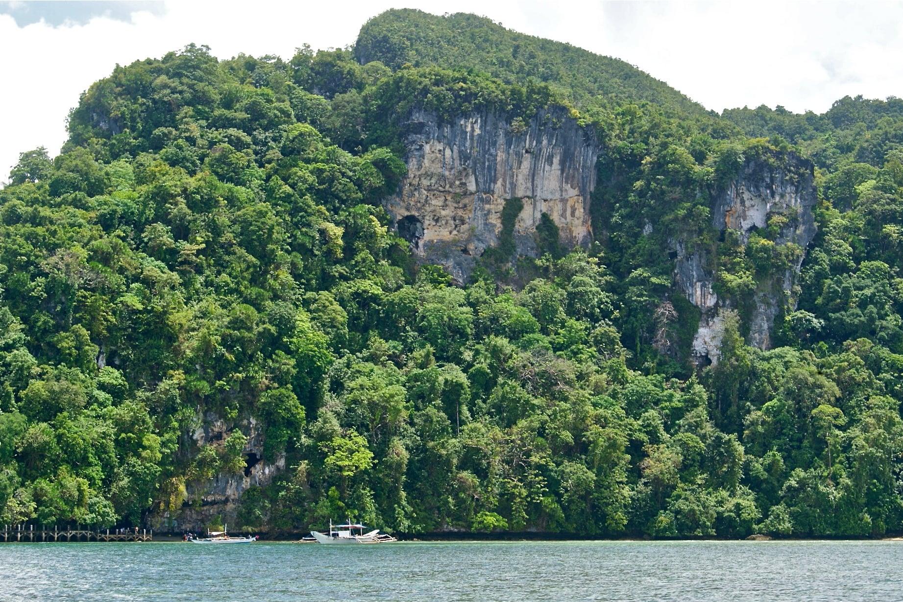
Its territory includes Rasa Island, a refuge of the critically endangered Philippine cockatoo, known locally as katala.
- Nearest gateway
- Puerto Princesa International Airport, 92 km north by road
- Area
- South Central
- On the map
- Open Narra in Google Maps
The local government
- Mayor
- Gerandy Danao
- Vice mayor
- Edmond Gastanes
- Municipality of
- Narra
- PSGC code
- 1705315000
- Barangays
- 23
- Land area
- 831.7 km²
Elected on 12 May 2025 for the term to 30 June 2028, named as on the ballot, from the count COMELEC released (via Rappler); checked 9 November 2026. An official can be suspended or replaced during a term, so the town hall has the last word.
In an emergency
Call 911Narra’s disaster office (MDRRMO): 0938-347-6080, 0917-599-9811
From the provincial emergency page, checked 8 November 2026. Every emergency number
Narra in pictures
Keep scrolling and they travel past. Press one to see it whole.
Getting to Narra
- From Puerto Princesa
- By road south, 92 km.
Its people and its past
The name is both the Philippine national tree and an acronym for the National Resettlement and Rehabilitation Administration, which from 1954 resettled landless families from Luzon here. Narra separated from Aborlan as its own municipality on 21 June 1969.
The Palay Festival, formerly the Anihan or harvest festival, is held each year in mid to late October.
Narra is known as the Rice Granary of Palawan, the province's main rice producer. Narra, Palawan - Wikipedia
Narra holds the Palay Festival, formerly called the Anihan (harvest) Festival, every mid or late October. Narra, Palawan - Wikipedia
Also around Narra
island
Rasa Island
An island in Barangay Panacan, about 3 km north of the poblacion, declared a protected area in 2006; habitat of the critically endangered Philippine cockatoo.
Rasa Island - Wikipediaisland
Arena Island
A private island in Barangay Panacan, about an hour by boat from the mainland, home to Isla Arena Resort and a sea turtle sanctuary open to visitors.
Visiting the unexplored part of Palawan: A Biyahe ni Drew itinerary in Narra (GMA News)falls
Estrella Falls
A 20-foot waterfall on the Estrella River, described as the most accessible of Narra's waterfalls, with a hot spring and cottages nearby.
Visiting the unexplored part of Palawan: A Biyahe ni Drew itinerary in Narra (GMA News)nature
Bato-Bato Hot Spring
Hot spring pools in Barangay Bato-Bato along the highway, built in the late 1990s and fed by naturally alkaline, free-flowing water.
5 things to do while visiting Narra, Palawan (Palawan Daily News)
Where it is
62 km south-west of Puerto Princesa, as the crow flies.
Its nearest towns
Places within reach