Quezon is a coastal town of southern Palawan on the South China Sea side, which the Philippines calls the West Philippine Sea, 146 km from Puerto Princesa. Its waters hold a population of the critically endangered Irrawaddy dolphin.
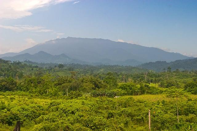
The municipality is home to the Tabon Caves, where the remains of Tabon Man were found, and it shares Mt. Mantalingahan Protected Landscape with its southern neighbours.
- Nearest gateway
- Puerto Princesa International Airport, 146 km by road
- Area
- South Central
- On the map
- Open Quezon in Google Maps
The local government
- Mayor
- Lily Torrico
- Vice mayor
- Leonard Vincent Ayod
- Municipality of
- Quezon
- PSGC code
- 1705317000
- Barangays
- 14
- Land area
- 943.2 km²
Elected on 12 May 2025 for the term to 30 June 2028, named as on the ballot, from the count COMELEC released (via Rappler); checked 9 November 2026. An official can be suspended or replaced during a term, so the town hall has the last word.
In an emergency
Call 911Quezon’s disaster office (MDRRMO): 0917-137-5223
From the provincial emergency page, checked 8 November 2026. Every emergency number
Quezon in pictures
Keep scrolling and they travel past. Press one to see it whole.
Getting to Quezon
- From Puerto Princesa
- By road, 146 km.
Its people and its past
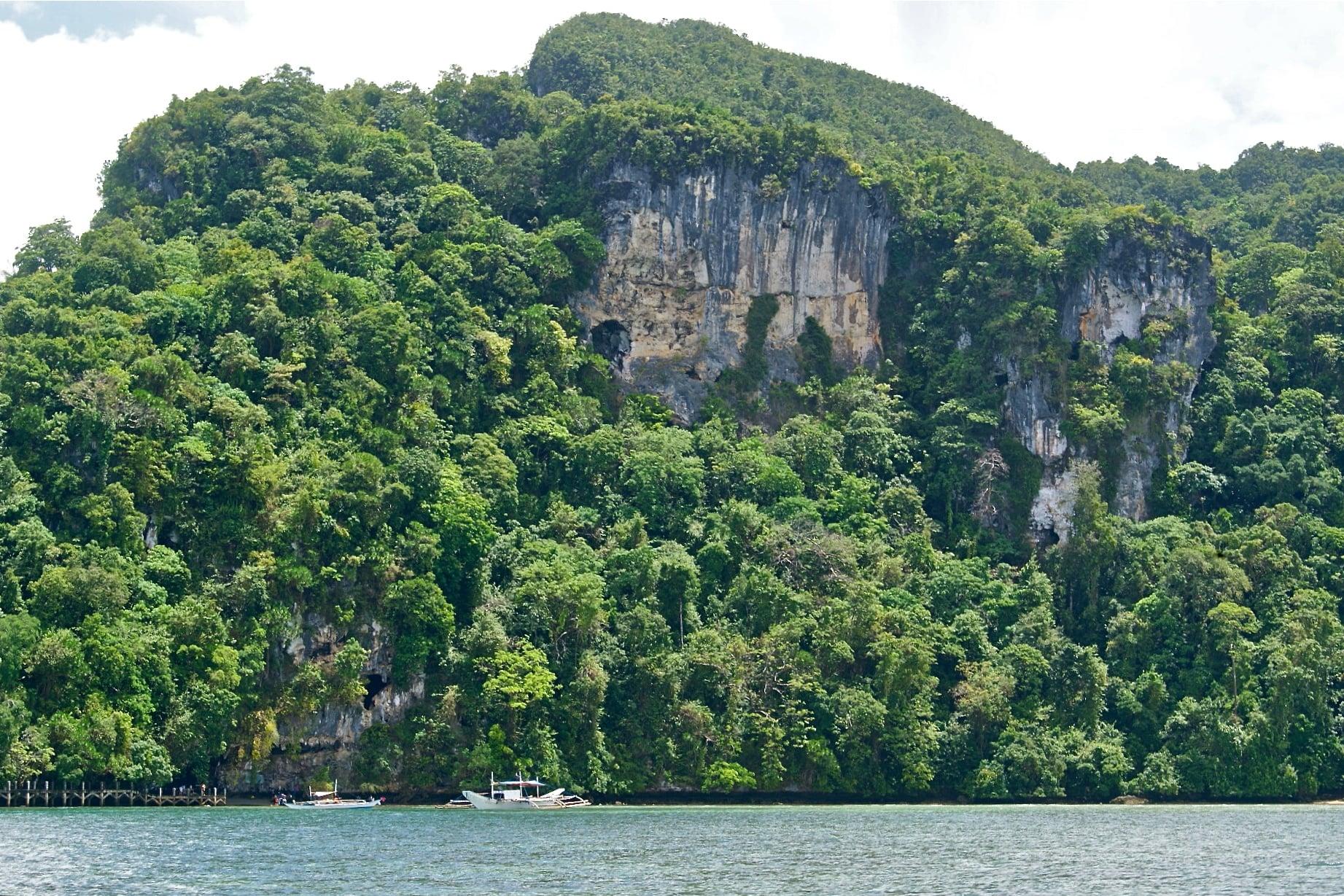
In 1962 a team led by the anthropologist Robert Fox excavated the Tabon Caves at Lipuun Point and recovered human fossils some 22,000 to 24,000 years old; the caves also yielded the Manunggul Jar. The old name of the town, Tabon, comes from the tabon bird.
Quezon was created in 1951 from barrios of Aborlan and Brooke's Point. Indigenous highland communities, among them the Tau't Bato and Tagbanua, keep their own beliefs, and some Palawano and Molbog families are Muslim.
Signature places in Quezon
Where it is
99 km south-west of Puerto Princesa, as the crow flies.
Its nearest towns
Places within reach