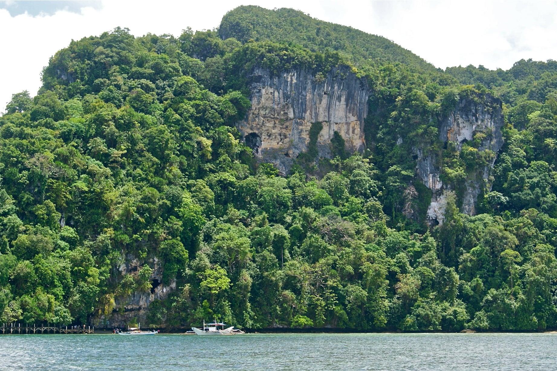
Brooke's Point lies on the southeast coast of mainland Palawan, 190 km from Puerto Princesa, between Sofronio Española to the north and Bataraza to the south, with Rizal to the west and the Sulu Sea to the east.
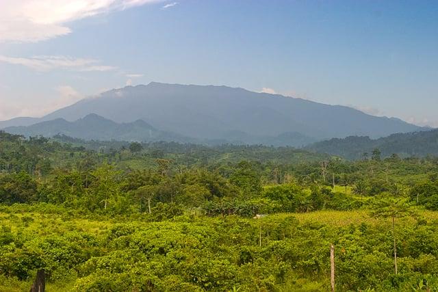
Its port takes cargo vessels from Manila and abroad. The municipality is one of five that share Mt. Mantalingahan, at 2,085 m the highest peak in the province and a mountain the indigenous Palaw'an hold sacred.
- Nearest gateway
- Puerto Princesa International Airport, 190 km by road
- Area
- The Far South
- On the map
- Open Brooke's Point in Google Maps
The local government
- Mayor
- Cesareo Benedito Jr.
- Vice mayor
- Mary Jean Feliciano
- Municipality of
- Brooke's Point
- PSGC code
- 1705306000
- Barangays
- 18
- Land area
- 1,303.4 km²
Elected on 12 May 2025 for the term to 30 June 2028, named as on the ballot, from the count COMELEC released (via Rappler); checked 9 November 2026. An official can be suspended or replaced during a term, so the town hall has the last word.
In an emergency
Call 911Brooke's Point’s disaster office (MDRRMO): 0977-215-4818, 0997-601-2870
From the provincial emergency page, checked 8 November 2026. Every emergency number
Getting to Brooke's Point
- From Puerto Princesa
- By road south, about 190 km.
Its people and its past
The place was first called Bonbon, a Palawano word for locality. American scouts later named it after James Brooke, the British rajah of Sarawak, and local officials have since asked for the old name to be restored. The first recorded municipal president was Datu Pula.
In 1934 the Pearl of Lao Tzu, long described as the largest pearl in the world, was found in the waters off the town.
The Pearl of Lao Tzu, once considered the world's largest pearl, was found in Brooke's Point waters on 7 May 1934. Brooke's Point, Palawan - Wikipedia
Also around Brooke's Point
falls
Sabsaban Falls
A waterfall in Sitio Sabsaban, Barangay Aribungos, within Palaw'an ancestral domain, managed as an eco-tourism site by the Indigenous Palaw'an community living there.
Palaw'an tribe vows to sustainable tourism in Brooke's Point (Palawan Daily News)falls
Mainit Falls and Hot Spring
A waterfall with hot springs a few meters away; in 2020 the House of Representatives approved a bill declaring it an ecotourism site.
Congress approves bill declaring Mainit Falls and Hot Spring as ecotourism site (Palawan Daily News)nature
Brooke's Point Ecological Park
An eco-tourism site in Brooke's Point; a 3.6-km DPWH access road in Barangay Salogon, completed in 2023, improved access to it.
Access Road Boosts Eco-Tourism in Brooke's Point, Palawan (DPWH)
Where it is
146 km south-west of Puerto Princesa, as the crow flies.
Its nearest towns
Places within reach