This is Palawan
The flightAreasTownsLGUsToursGetting aroundBefore you go
This is Palawan
The flightAreasTownsLGUsToursGetting aroundBefore you go

© 2026 This is Palawan. All rights reserved.

Photographs and map data belong to their owners, credited where they appear and on the credits page.

Emergency numbersCreditsPrivacy

An area of Palawan

The Far South

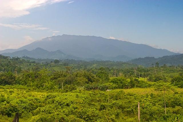
The far south is the land of Mt. Mantalingahan, at 2,085 m the province's highest peak, whose protected landscape spans Brooke's Point, Rizal and Bataraza along with Quezon and Sofronio Española. Bataraza takes the southern tip of the mainland, and beyond it the Balabac islands reach toward Sabah.
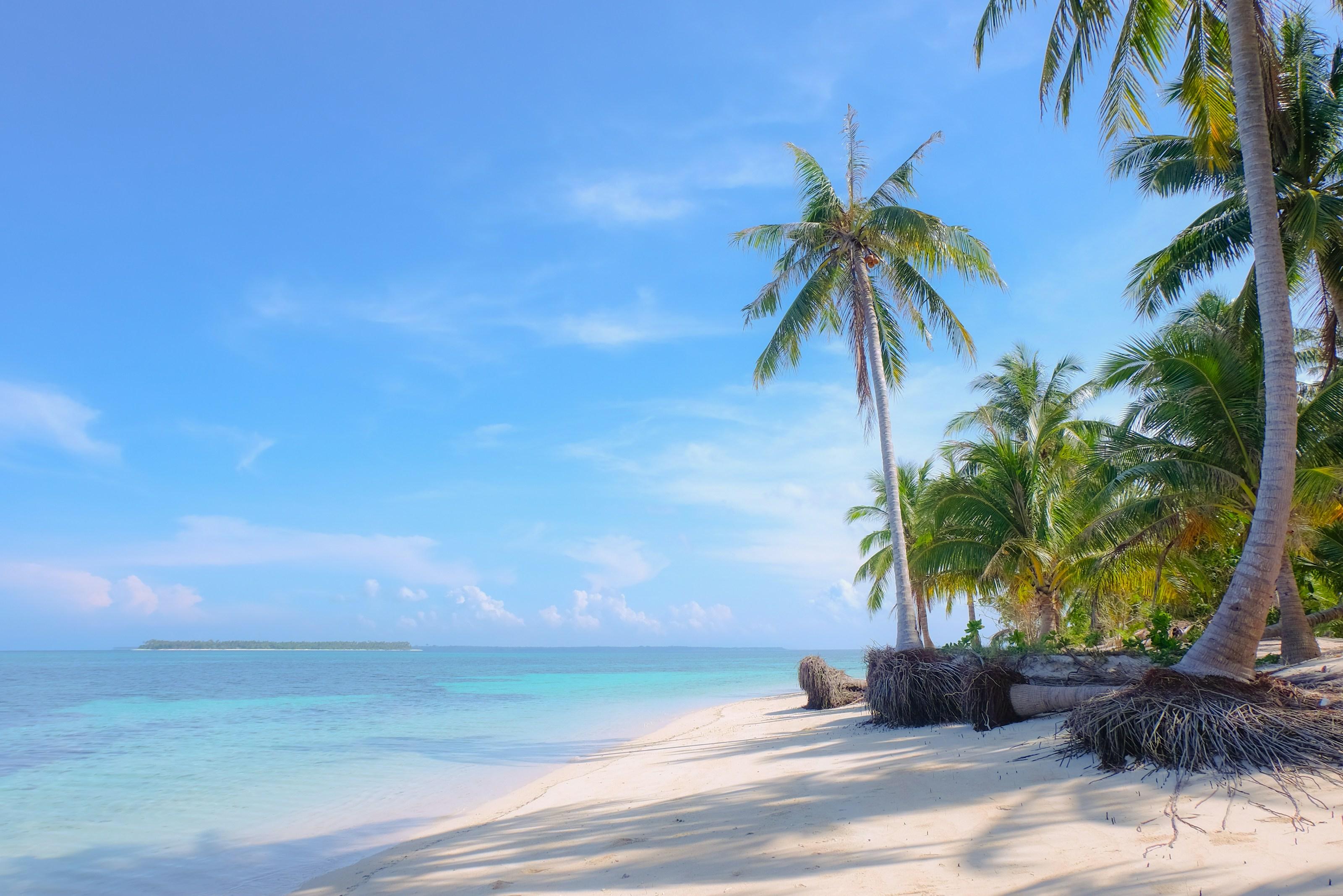
Coconut palms leaning over a white-sand beach and clear shallows in Balabac
Photo: Cris Tagupa, via Unsplash
Towns
4
Barangays
71
Land
3,868 km²
Signature places
2

Muslim, Palaw'an and Molbog communities have long histories here, from the datus who gave Bataraza its name to the Molbog people for whom Balabac was first named.

Getting around

Brooke's Point is about 190 km from Puerto Princesa by road, Rizal about 203 km and Bataraza about 218 km. The Balabac islands lie offshore beyond Bataraza.

Its towns
Point at a town
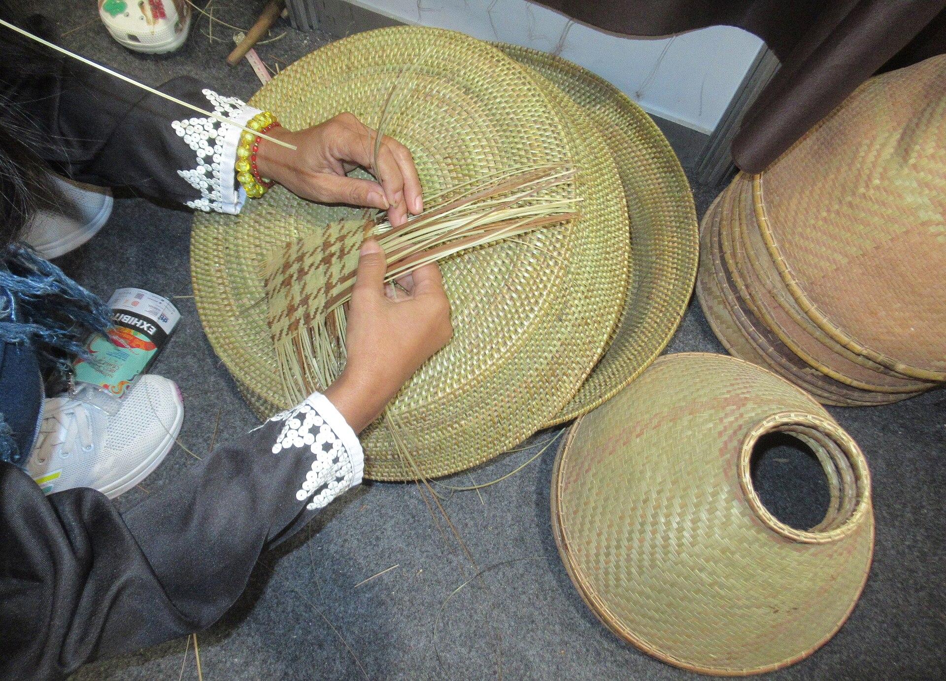
  • Hands weaving a tingkep basket from fern stems, Brooke's PointBrooke's PointMunicipality, 18 barangays, 1,303 km²
  • Distant view of Mt. Mantalingahan's ridge rising over forested lowlandsRizalMunicipality, 11 barangays, 1,256 km²
  • BatarazaMunicipality, 22 barangays, 726 km²
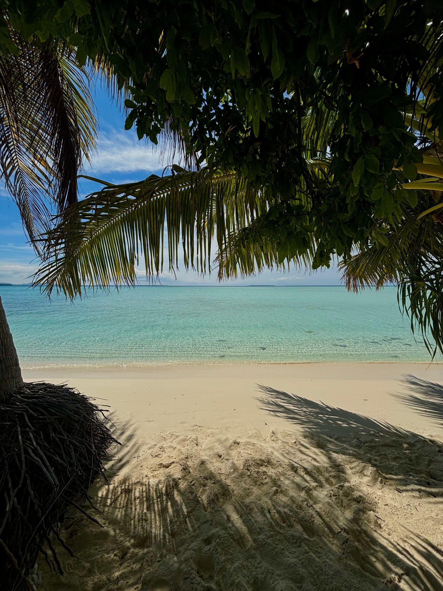
  • White sand and clear turquoise water framed by palm fronds on the quiet side of Onuk Island, BalabacBalabacMunicipality, 20 barangays, 582 km²

The Far South in pictures

Keep scrolling and they travel past. Press one to see it whole.

Coconut palms leaning over a white-sand beach and clear shallows in BalabacPhoto: Cris Tagupa, via Unsplash
Hands weaving a tingkep basket from fern stems, Brooke's PointPhoto: Valenzuela400, CC BY-SA 4.0, via Wikimedia Commons
Distant view of Mt. Mantalingahan's ridge rising over forested lowlandsPhoto: Alastair Robinson, public domain, via Wikimedia Commons
White sand and clear turquoise water framed by palm fronds on the quiet side of Onuk Island, BalabacPhoto: Hanna Zapant, CC BY-SA 4.0, via Wikimedia Commons
Storm clouds over a flooded field and green scrub in RizalPhoto: Iamsandraguia, CC BY-SA 4.0, via Wikimedia Commons
A wooden boat moored off the white beach of Candaraman Island, BalabacPhoto: DarwinNaredo, CC BY-SA 4.0, via Wikimedia Commons
An eighteenth-century chart of Balabac island by Alexander DalrympleChart: Antonio Faveau Quesada, published by Alexander Dalrymple, public domain, via Wikimedia Commons
Someone sitting in the shallows of the BenLen sandbar off Candaraman Island, BalabacPhoto: Ervin Malicdem, CC BY-SA 4.0, via Wikimedia Commons
Sunset over the jetty and anchored outrigger boats on Onuk Island, Balabac, with a sandbar exposed at low tidePhoto: Hanna Zapant, CC BY-SA 4.0, via Wikimedia Commons

Places in The Far South

  • Distant view of Mt. Mantalingahan's ridge rising over forested lowlandsMt. Mantalingahan Protected LandscapeRizal
  • White sand and clear turquoise water framed by palm fronds on the quiet side of Onuk Island, BalabacOnuk IslandBalabac
North of hereSouth CentralSouth of hereKalayaan