This is Palawan
The flightAreasTownsLGUsToursGetting aroundBefore you go
This is Palawan
The flightAreasTownsLGUsToursGetting aroundBefore you go

© 2026 This is Palawan. All rights reserved.

Photographs and map data belong to their owners, credited where they appear and on the credits page.

Emergency numbersCreditsPrivacy

An area of Palawan

Kalayaan

Kalayaan is the Philippine municipality in the Spratly Islands, far out in the West Philippine Sea. Its single barangay, Pag-asa, is on Thitu Island, about 520 km northwest of Puerto Princesa, and all its islands and shoals are disputed.
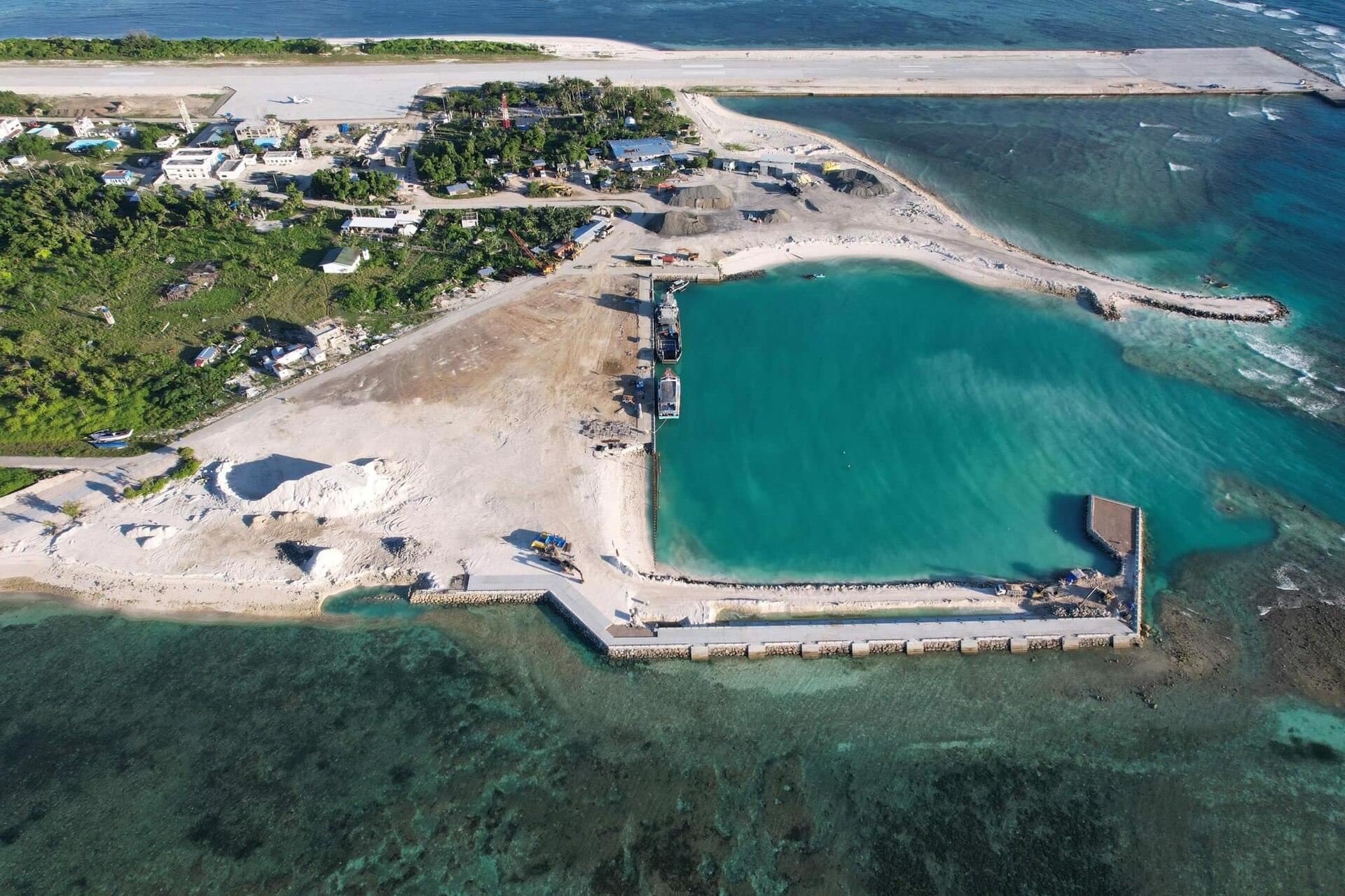
Aerial view of the sheltered port being built on Pag-asa Island, Kalayaan
Photo: Palawan Provincial Engineering Office, public domain, via Wikimedia Commons
Towns
1
Barangays
1
Land
290 km²
Signature places
0

Thitu was a military post until civilian settlement began in 2002, and the town remains the least populated municipality in the country.

Getting around

Pag-asa is about 520 km of open sea from Puerto Princesa. Contact the municipal government before planning any visit.

Its towns

  • Aerial view of the sheltered port being built on Pag-asa Island, KalayaanKalayaanMunicipality, 1 barangays, 290 km²
North of hereThe Far South