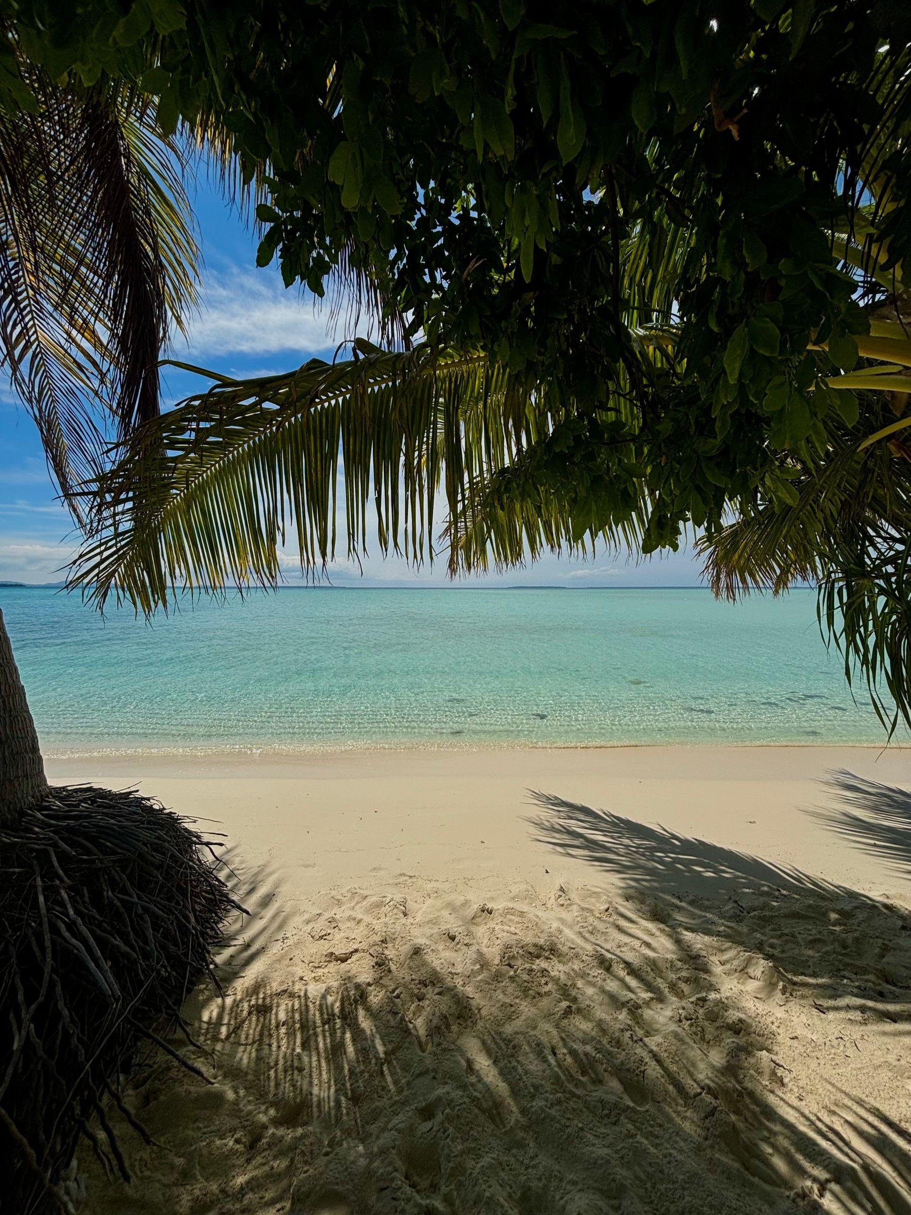
Balabac is a group of some 36 islands off the southern tip of Palawan, separated from Sabah in Malaysia by the Balabac Strait. Leaving aside the disputed Spratlys, it is the westernmost point of the Philippines.
On Balabac Island stands the Cape Melville Lighthouse, built by the Spanish in 1892 and one of the oldest lighthouses in the country.
- Area
- The Far South
- On the map
- Open Balabac in Google Maps
The local government
- Mayor
- Shuaib Astami
- Vice mayor
- Al-Hazni Astami
- Municipality of
- Balabac
- PSGC code
- 1705304000
- Barangays
- 20
- Land area
- 581.6 km²
Elected on 12 May 2025 for the term to 30 June 2028, named as on the ballot, from the count COMELEC released (via Rappler); checked 9 November 2026. An official can be suspended or replaced during a term, so the town hall has the last word.
In an emergency
Call 911Balabac’s disaster office (MDRRMO): 0951-084-0255
From the provincial emergency page, checked 8 November 2026. Every emergency number
Balabac in pictures
Keep scrolling and they travel past. Press one to see it whole.
Its people and its past
The islands' first name, Molbog, came from the Molbog people; Balabag, meaning crosswise, after the lie of the main island, later became Balabac.
The islands belonged to the Sultanate of Brunei and later to Sulu before Spain claimed them in the eighteenth and nineteenth centuries.
Balabac is home to the Philippine mouse-deer, or pilandok, which is found only in the Balabac islands. Balabac, Palawan - Wikipedia
Signature places in Balabac
Also around Balabac
heritage
Cape Melville Lighthouse
A Spanish-period lighthouse built in 1892 at the southern end of Balabac Island.
Palawan's southern jewel - Philstarbeach
Punta Sebaring
A beach at the southernmost tip of Bugsuk Island, one of Balabac's larger islands, with white sand stretching into a long sandbar.
Palawan's southern jewel - Philstarbeach
Mansalangan Sandbar
A sandbar in Balabac surrounded by a wide expanse of shallow turquoise water.
Palawan's southern jewel - Philstarisland
Patawan Island
An islet in Balabac with low-lying greenery, a sandbar and pink-tinted sand.
Palawan's southern jewel - Philstarisland
Canimeran Island
A Balabac island lined with coconut trees and pink-tinted sand; locals call it Patongong Dos, after the larger neighbouring island of Patongong.
Palawan's southern jewel - Philstar
Where it is
268 km south-west of Puerto Princesa, as the crow flies.
Its nearest towns
Places within reach