This is Palawan
The flightAreasTownsLGUsToursGetting aroundBefore you go
This is Palawan
The flightAreasTownsLGUsToursGetting aroundBefore you go

© 2026 This is Palawan. All rights reserved.

Photographs and map data belong to their owners, credited where they appear and on the credits page.

Emergency numbersCreditsPrivacy

An area of Palawan

El Nido and Taytay

El Nido and Taytay share the northern mainland and the El Nido-Taytay Managed Resource Protected Area, about 903 km² of land and sea declared in 1998. El Nido looks over Bacuit Bay and its limestone islands; Taytay holds Malampaya Sound, home to the Irrawaddy dolphin.
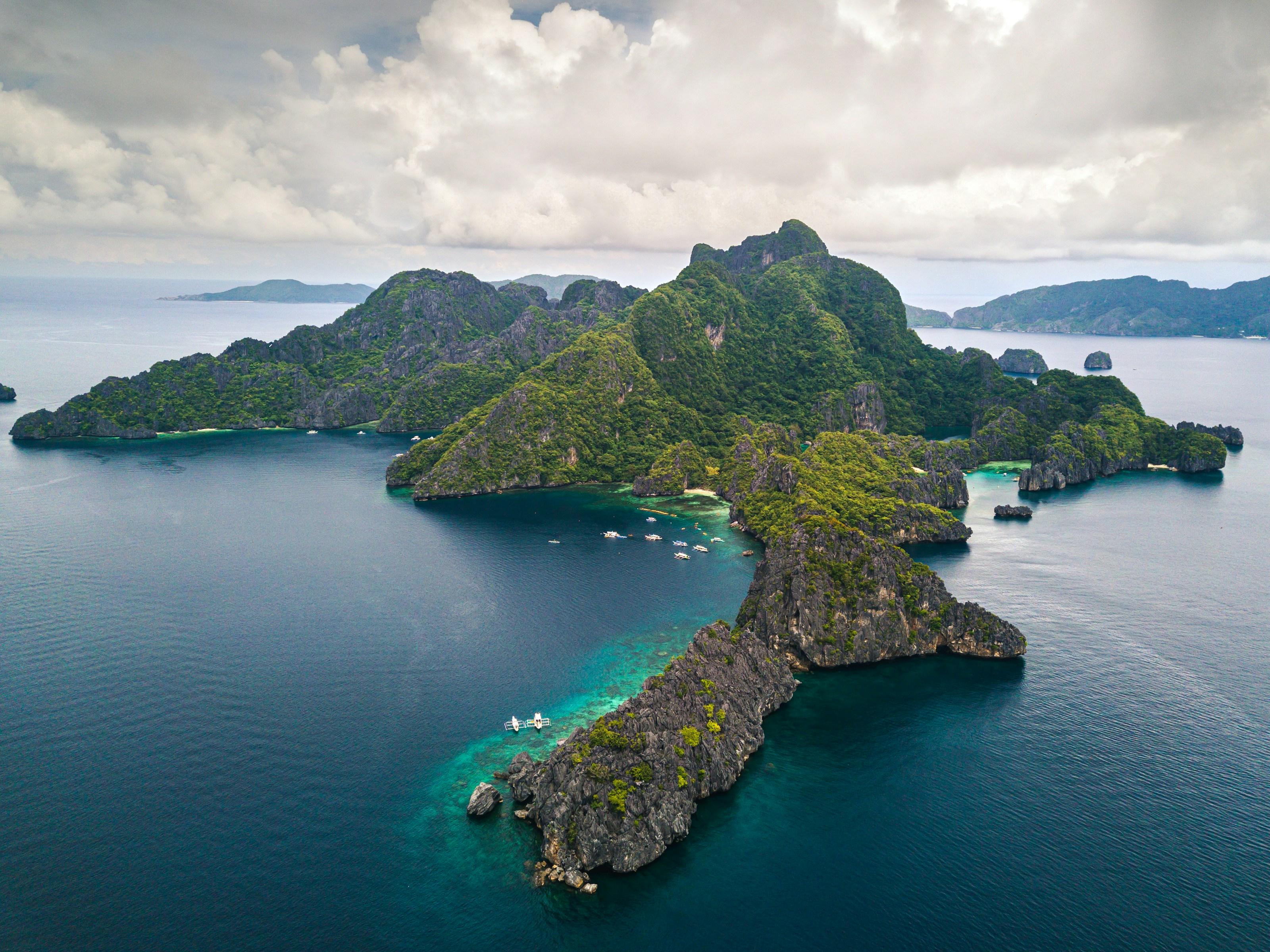
Forested limestone islands off El Nido from above, with boats anchored over the reef in a sheltered cove
Photo: Alejandro Luengo, via Unsplash
Towns
2
Barangays
49
Land
2,181 km²
Signature places
2

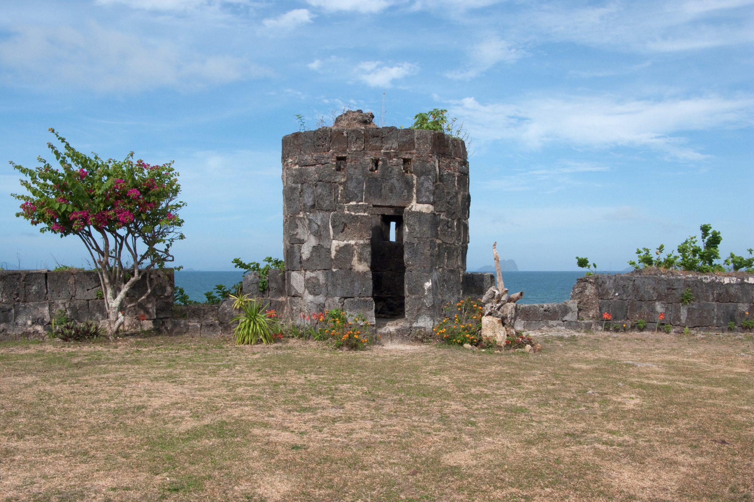
Taytay, founded by Augustinian Recollects in 1623 and once capital of the Spanish province of Calamianes, keeps its seventeenth-century fort.

Getting around

El Nido Airport sits about 4 km from El Nido town. Vans run the road from Puerto Princesa in about 6 to 7 hours, passing through Taytay, and fast ferries link El Nido with Coron in about 3.5 hours.

Its towns
Point at a town
  • Forested limestone islands off El Nido from above, with boats anchored over the reef in a sheltered coveEl NidoMunicipality, 18 barangays, 923 km²
  • A flowering tree beside the ruined stone watchtower of Taytay's Fort of Santa Isabel, with the sea and distant islands behindTaytayMunicipality, 31 barangays, 1,258 km²

El Nido and Taytay in pictures

Keep scrolling and they travel past. Press one to see it whole.
Forested limestone islands off El Nido from above, with boats anchored over the reef in a sheltered covePhoto: Alejandro Luengo, via Unsplash
A flowering tree beside the ruined stone watchtower of Taytay's Fort of Santa Isabel, with the sea and distant islands behindPhoto: Vyacheslav Argenberg, CC BY 4.0, via Wikimedia Commons
Sunset on a beach in El Nido, an islet dark against the sky under overhanging leavesPhoto: Yojrel, CC BY-SA 4.0, via Wikimedia Commons
An outrigger bangka beached on the shore at Taytay, the town's stilt houses behindPhoto: Vyacheslav Argenberg, CC BY 4.0, via Wikimedia Commons
Clear turquoise shallows below a forested island in El Nido BayPhoto: Vyacheslav Argenberg, CC BY 4.0, via Wikimedia Commons
An old cannon on the ramparts of Fort Santa Isabel, Taytay, built in 1667Photo: Vyacheslav Argenberg, CC BY 4.0, via Wikimedia Commons
A lone limestone rock in the shallows off Corong Corong Beach, El NidoPhoto: Vyacheslav Argenberg, CC BY 4.0, via Wikimedia Commons
The coral-stone gateway of Fort Santa Isabel in Taytay, flags on either sidePhoto: Vyacheslav Argenberg, CC BY 4.0, via Wikimedia Commons
Limestone walls of Bacuit Bay rising straight out of green water, El NidoPhoto: Vyacheslav Argenberg, CC BY 4.0, via Wikimedia Commons
Red and pink twilight over the island silhouettes of El NidoPhoto: Vyacheslav Argenberg, CC BY 4.0, via Wikimedia Commons
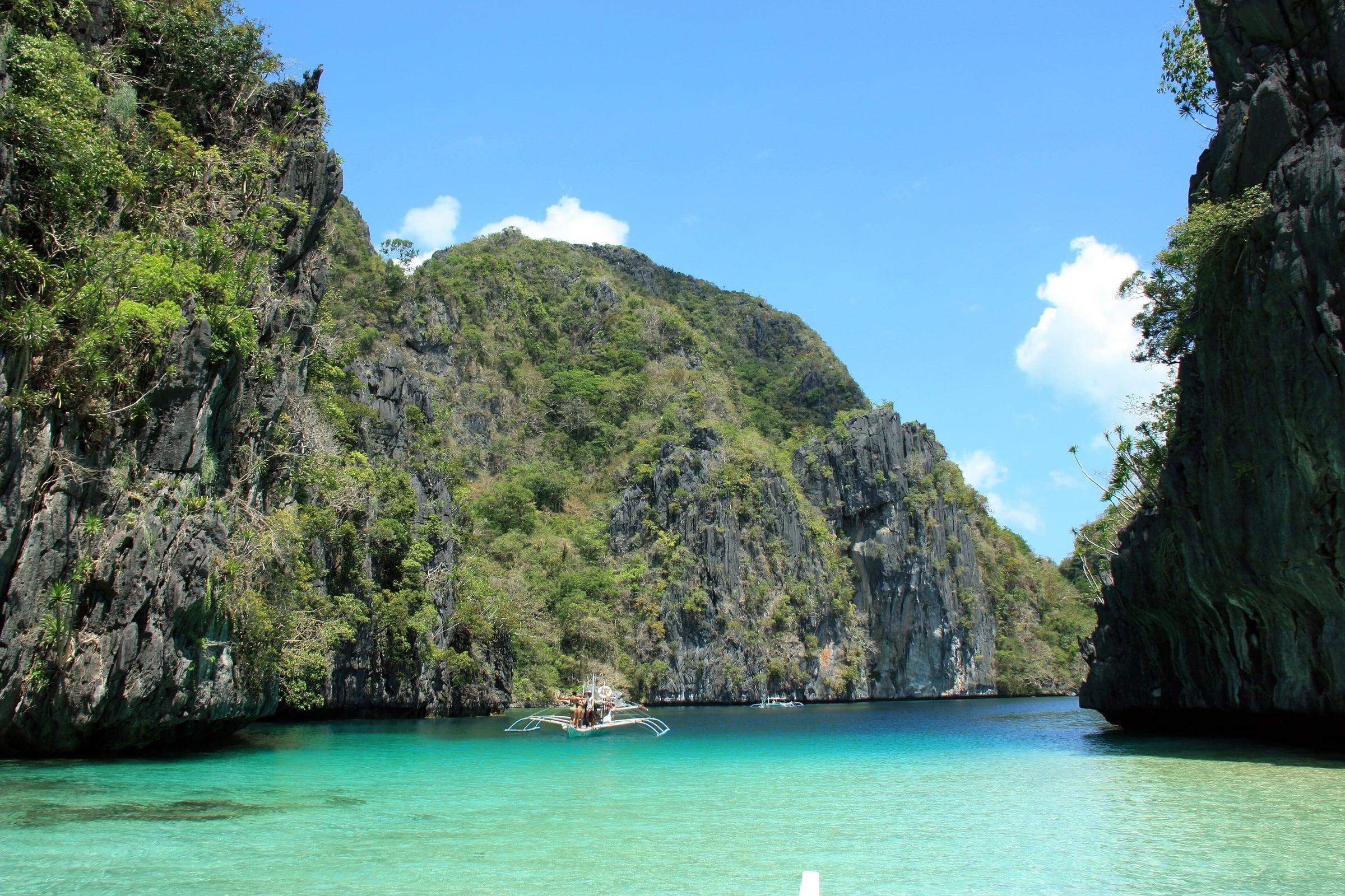
Outrigger boat anchored in the turquoise water of Big Lagoon, enclosed by tall green limestone cliffs on Miniloc IslandPhoto: Marciano Villavito, CC BY-SA 4.0, via Wikimedia Commons
The narrow limestone entrance to Big Lagoon, Miniloc Island, El NidoPhoto: Chermione16, CC BY-SA 4.0, via Wikimedia Commons
Green water and forested karst inside Big Lagoon, El NidoPhoto: Fabio Achilli from Milano, Italy, CC BY 2.0, via Wikimedia Commons
The bow of a blue kayak heading into Big Lagoon, El NidoPhoto: Fabio Achilli from Milano, Italy, CC BY 2.0, via Wikimedia Commons
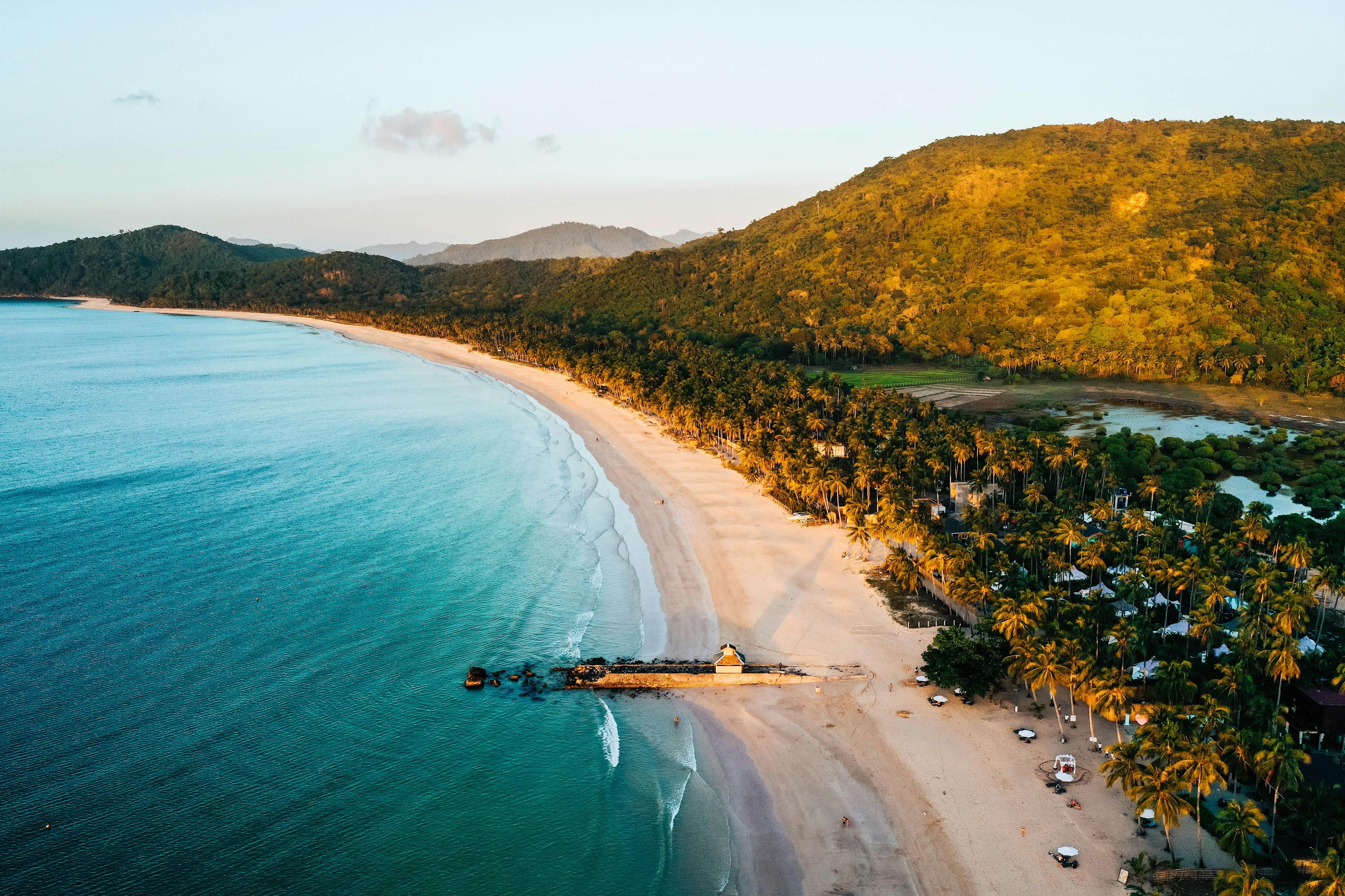
Nacpan Beach from the air: a long curve of pale sand and coconut palms beside turquoise water, El NidoPhoto: Rafael Loreto, via Unsplash
Sunset over the sea from Nacpan Beach, a small island in silhouette offshorePhoto: Giuliano Gabella, via Unsplash
A bangka marked Calitang El Nido drawn up on the sand at Nacpan BeachPhoto: Fabio Achilli from Milano, Italy, CC BY 2.0, via Wikimedia Commons
Outrigger boats on the sand at Nacpan Beach, palms behindPhoto: Fabio Achilli from Milano, Italy, CC BY 2.0, via Wikimedia Commons
Nacpan Beach curving away in the sun, palms shading the sandPhoto: glwx, CC BY-SA 3.0, via Wikimedia Commons
Aerial view straight down on the surf line and golden sand of Nacpan BeachPhoto: Micluna, CC BY-SA 4.0, via Wikimedia Commons
Aerial view of the four-kilometre arc of Nacpan Beach between sea and forestPhoto: Micluna, CC BY-SA 4.0, via Wikimedia Commons

Places in El Nido and Taytay

  • Nacpan Beach from the air: a long curve of pale sand and coconut palms beside turquoise water, El NidoNacpan BeachEl Nido
  • Outrigger boat anchored in the turquoise water of Big Lagoon, enclosed by tall green limestone cliffs on Miniloc IslandBig LagoonEl Nido
North of hereCalamianesSouth of hereSulu Sea Islands