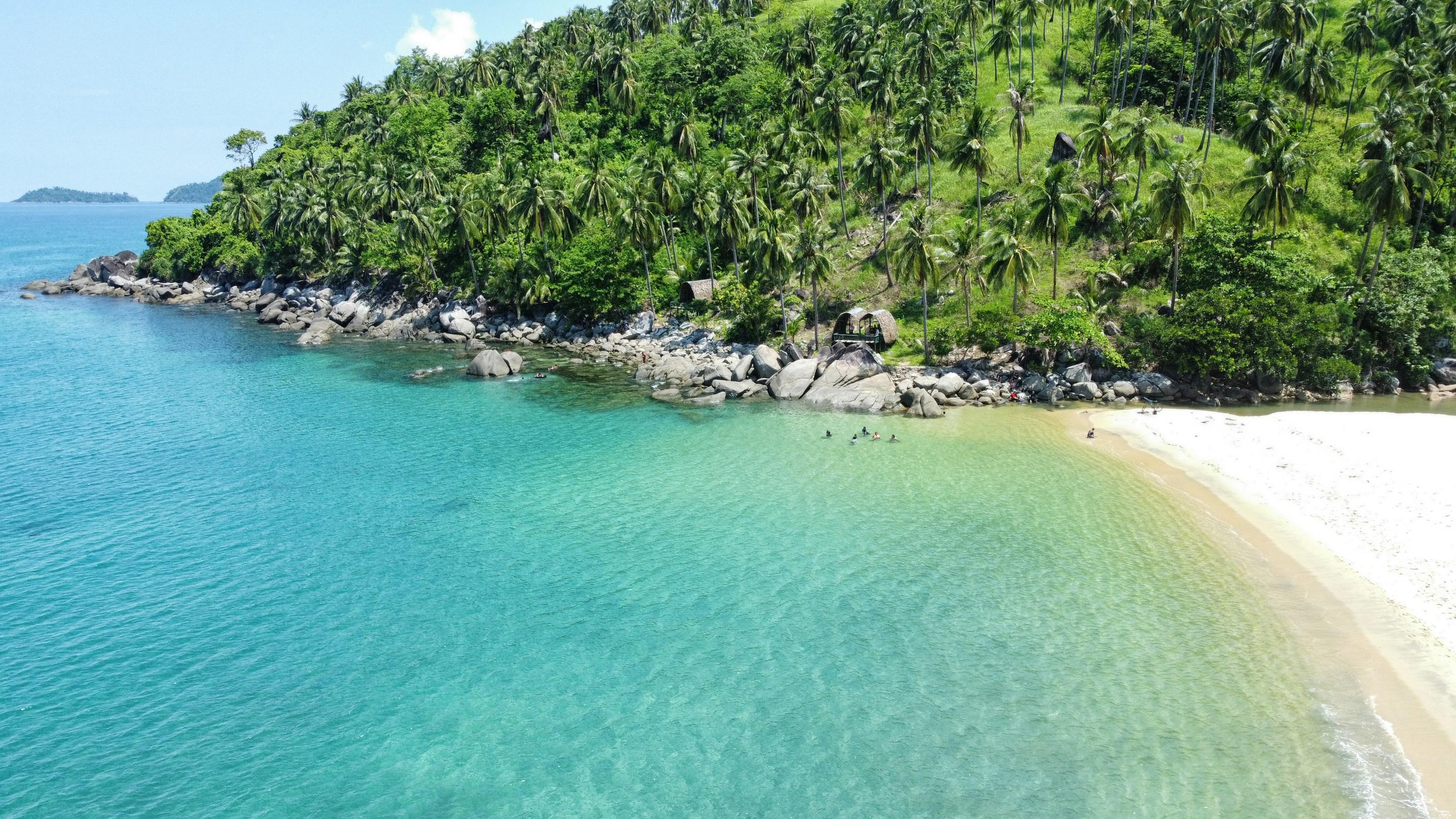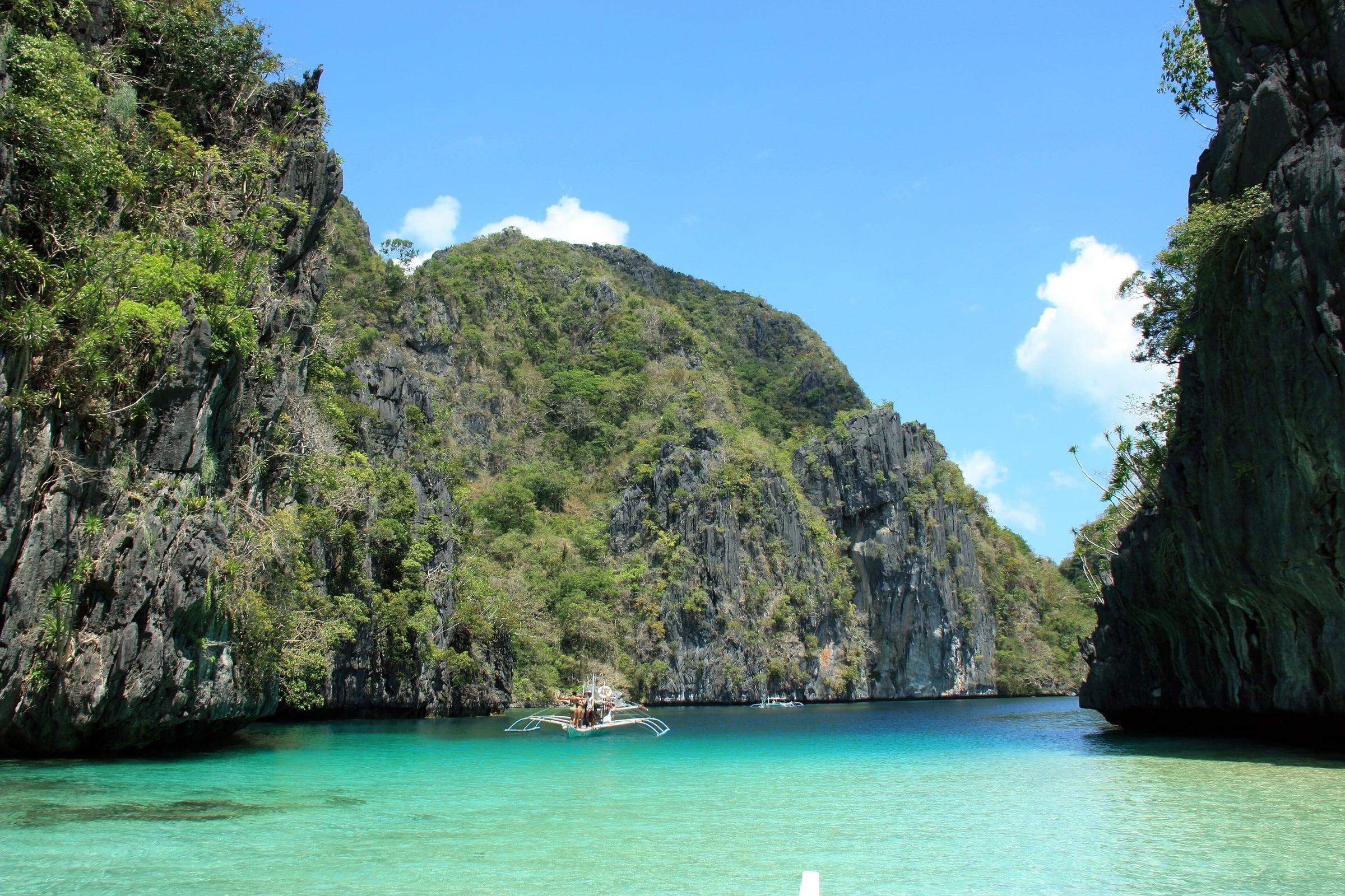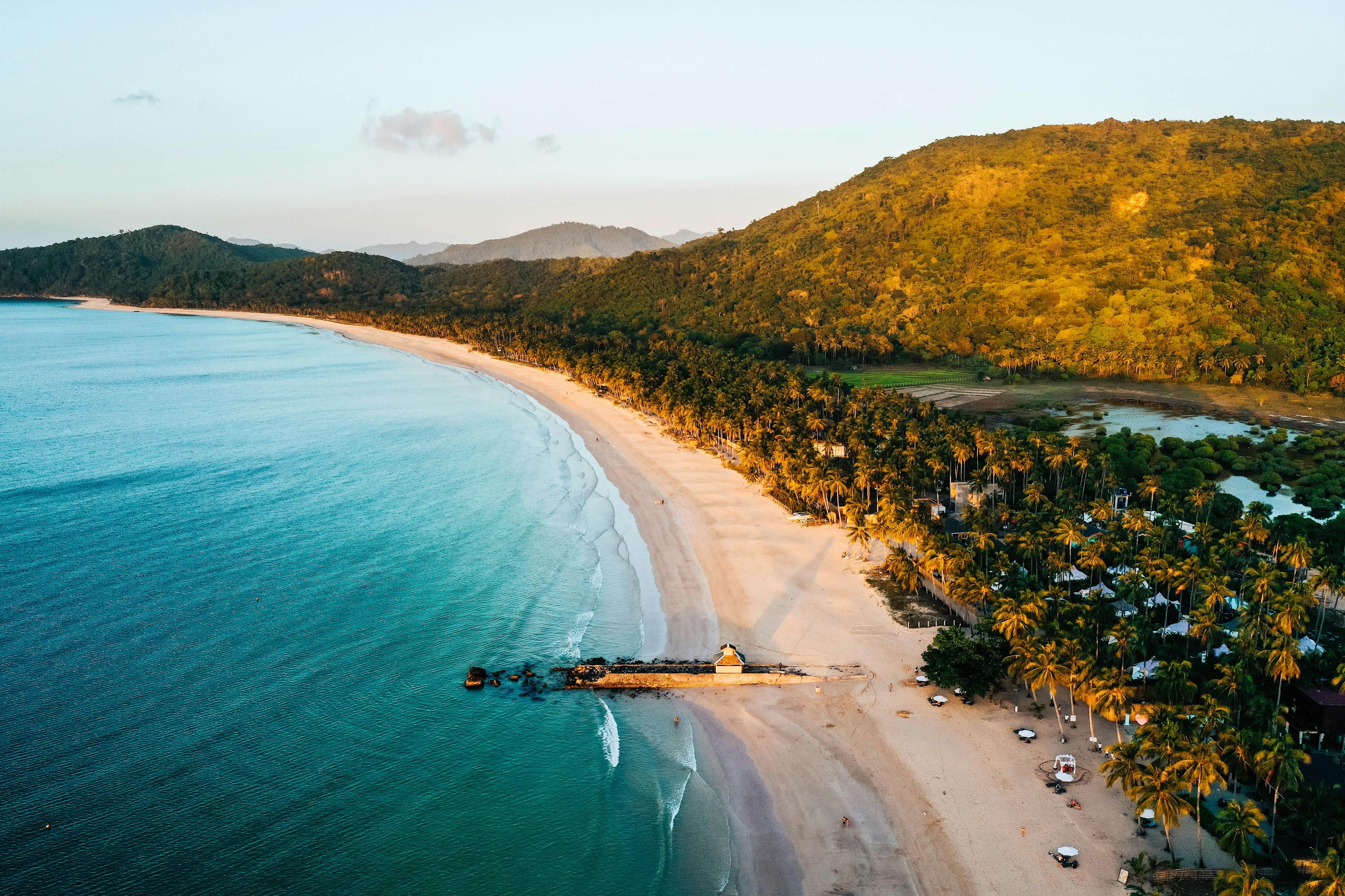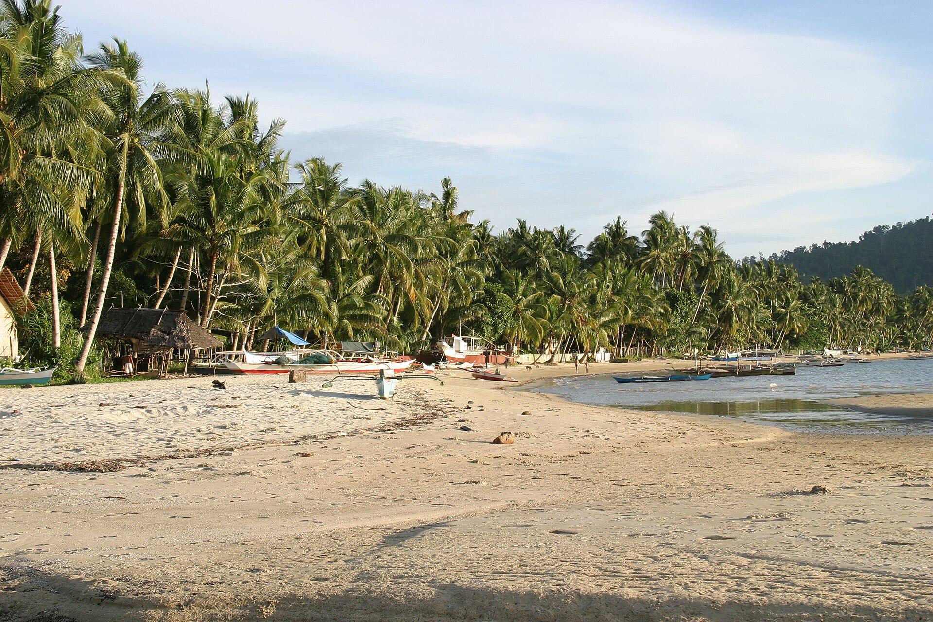
Taytay lies on the northern mainland, south of El Nido and about 214 km from Puerto Princesa. It takes in Malampaya Sound, a protected area that is home to the critically endangered Irrawaddy dolphin, and part of the El Nido-Taytay Managed Resource Protected Area.
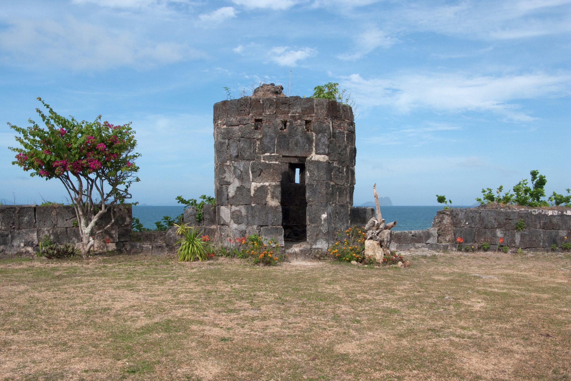
The municipality calls itself the first capital of Palawan, and its seventeenth-century stone fort, the Fuerza de Santa Isabel, still stands.
- On the map
- Open Taytay in Google Maps
The local government
- Mayor
- Norbert Salvame Lim
- Vice mayor
- Delma Edep
- Municipality of
- Taytay
- PSGC code
- 1705320000
- Barangays
- 31
- Land area
- 1,257.7 km²
Elected on 12 May 2025 for the term to 30 June 2028, named as on the ballot, from the count COMELEC released (via Rappler); checked 9 November 2026. An official can be suspended or replaced during a term, so the town hall has the last word.
In an emergency
Call 911Taytay’s disaster office (MDRRMO): 0917-125-4081
From the provincial emergency page, checked 8 November 2026. Every emergency number
Taytay in pictures
Keep scrolling and they travel past. Press one to see it whole.
Its people and its past
The municipality traces its name to talatayan, a wooden or bamboo walkway the first inhabitants used to cross between stretches of coast. Antonio Pigafetta, chronicler of Magellan's voyage, recorded the surviving ships anchoring at Taytay in 1521.
Augustinian Recollects founded the Christian town in 1623 and dedicated it to Santa Monica. The fort, Fuerza de Santa Isabel, was built in 1667 against raids; its chapel and cannons remain, under the care of the municipal government. Taytay was capital of the Spanish province of Calamianes from 1818.
In 1818 Taytay became capital of Calamianes province, which then covered all of Paragua, present-day Palawan. Taytay, Palawan - Wikipedia
Also around Taytay
heritage
Fort Santa Isabel
A coral limestone fort in Taytay town, first built in 1667 as a wooden palisade under Augustinian Recollect priests; renovation with National Historical Commission help began in 2018.
Fort Santa Isabel - Wikipedianature
Malampaya Sound
A sound within Taytay on Palawan's northwestern coast, protected since 2000 as the Malampaya Sound Protected Landscape and Seascape; home to Irrawaddy dolphins.
Malampaya Sound - Wikipedianature
Lake Manguao
A lake in Taytay declared a critical habitat on May 29, 2024, through Resolution No. 24-994, primarily for the Palawan pangolin.
Lawak Island, Lake Manguao named critical habitats in Palawan - Palawan Newsresort
Apulit Island
An island in Taytay, home to Apulit Island Resort, one of the four island resorts of Ayala Land's El Nido Resorts.
Unique luxury, environmental responsibility define Apulit Island - Philstar
Where it is
146 km north-east of Puerto Princesa, as the crow flies.
Its nearest towns