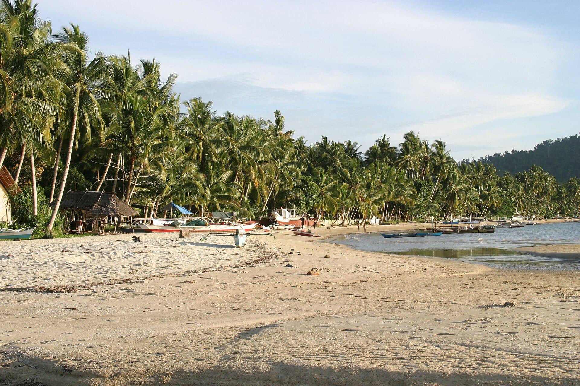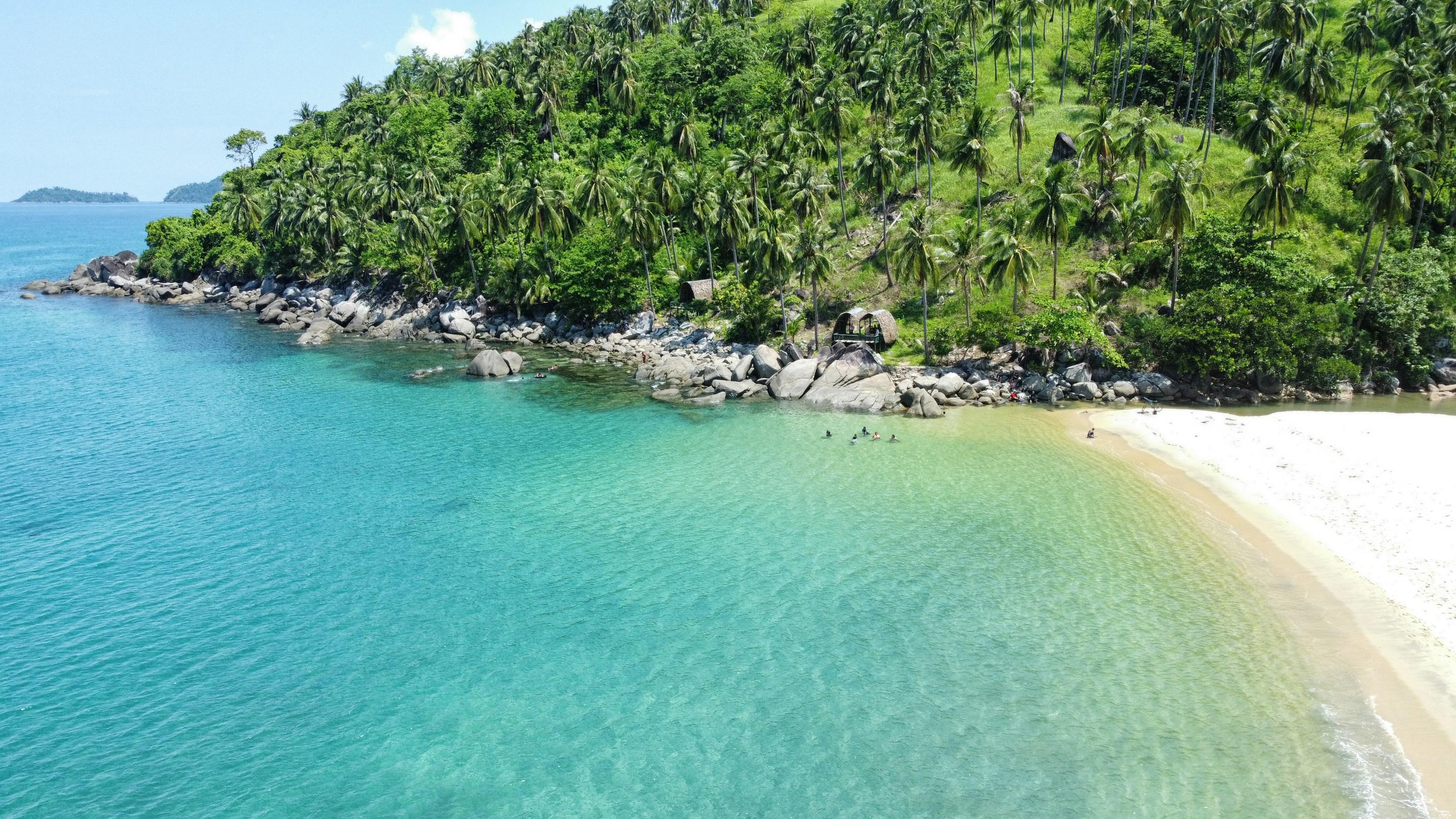
Long Beach runs about 14.7 kilometres along San Vicente's coast, which is usually cited as the longest continuous stretch of white sand beach in the Philippines.
Two rocky points break the sand into three connected coves across the barangays of New Agutaya, San Isidro, Alimanguan and Poblacion, each with a slightly different character but the same fine, pale sand and gentle slope into the water.
San Vicente has an airport and a growing number of resorts, but the coastline itself remains lightly built, with long open views and few crowds compared with El Nido or Coron.
- Best time
- November to May, dry season
- Getting there
- By van or private vehicle from Puerto Princesa city, about 186 km and four to five hours on paved road to San Vicente town
- Nearest gateway
- San Vicente Airport
- Where
- 10.525° N, 119.340° EOpen in Google Maps
Long Beach and San Vicente
Keep scrolling and they travel past. Press one to see it whole.
San Vicente, the town
San Vicente lies on the northwest coast of mainland Palawan. Its best-known shore is Long Beach, about 14.7 km of fine white sand broken by two rocky points into three coves.
Port Barton, in the municipality, is a small harbour village where registered tourist boats are based for island trips and transfers; the municipal tourism office keeps a desk there as well as its main office at New Agutaya.
Getting to San Vicente
- From Puerto Princesa
- Buses and vans leave the Puerto Princesa terminal at the New Public Market for the 186 km road north: about 3 hours by van, 5 by bus. Registered tourist boats also run from Sabang to Port Barton in about 4 hours.
- From Manila
- Fly to Puerto Princesa and continue by road. San Vicente Airport has direct Cebu Pacific flights from Cebu on Tuesdays, Thursdays and Sundays.
The local government
- Mayor
- Ramir Pablico
- Vice mayor
- Menchie Libarra
- Municipality of
- San Vicente
- PSGC code
- 1705319000
- Barangays
- 10
- Land area
- 1,462.9 km²
Elected on 12 May 2025 for the term to 30 June 2028, named as on the ballot, from the count COMELEC released (via Rappler); checked 9 November 2026. An official can be suspended or replaced during a term, so the town hall has the last word.
In an emergency
Call 911San Vicente’s disaster office (MDRRMO): 0917-775-8805
From the provincial emergency page, checked 8 November 2026. Every emergency number
- Municipality of San VicenteOfficial website, opens in a new tab
- San Vicente TourismTourism office, opens in a new tab
- San Vicente municipal tourism office on FacebookFacebook page, opens in a new tab
Its people and its past
The municipality was created on 21 June 1969 under Republic Act 5821, from parts of Puerto Princesa and Taytay. It counts 24 ethno-linguistic groups among its residents, each with its own dialect.
The town fiesta for Saint Vincent Ferrer runs from 1 to 5 April. Foundation Day is 21 June, and the Malagnang Festival is held from 17 to 21 June.
San Vicente holds the Malagnang Festival every year from June 17 to 21. San Vicente, Palawan - Wikipedia
Also around San Vicente
town-site
Port Barton
A barangay of San Vicente with 6,621 residents in the 2020 census, bordering Kemdeng and Caruray in San Vicente and Abaroan and Tagumpay in Roxas.
Port Barton, Municipality of San Vicente, Province of Palawan - PhilAtlasreef
Port Barton Marine Park
A community-managed marine park set up in 1998 by Port Barton barangay and San Vicente. Its core zones are Albaguen Island, Manta Ray Reef and Exotic Island.
Port Barton Marine Park - CCEF MPA Database (coast.ph)falls
Pamuayan Falls
An 8-metre waterfall about 4 km north of Port Barton village, on the road to San Vicente town. It shrinks to a trickle from March to mid-May.
Chutes de Pamuayan - Lonely Planet (French)island
Boayan Island
The largest island in San Vicente, facing the South China Sea. It is classified as timberland and remains public government land.
Boayan Island - Wikipedia