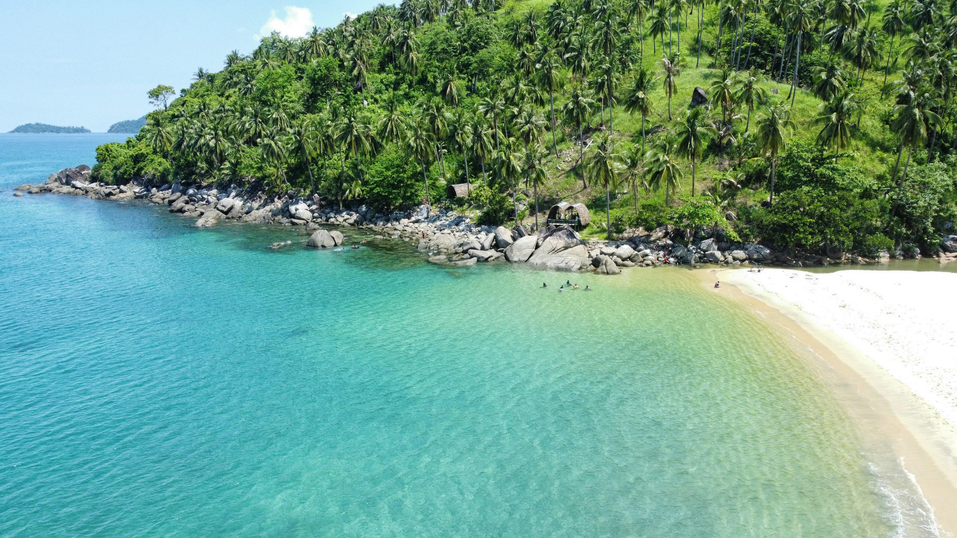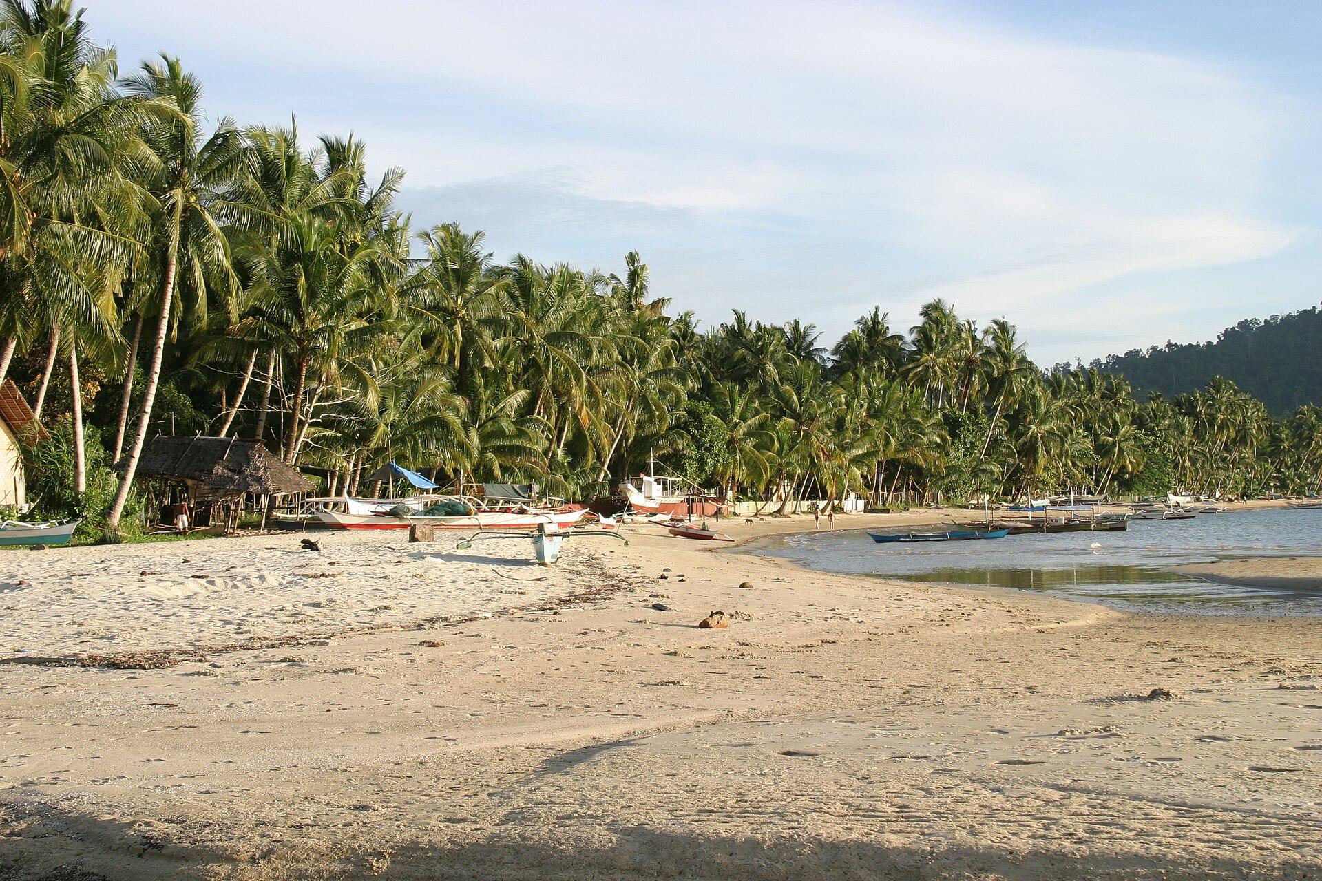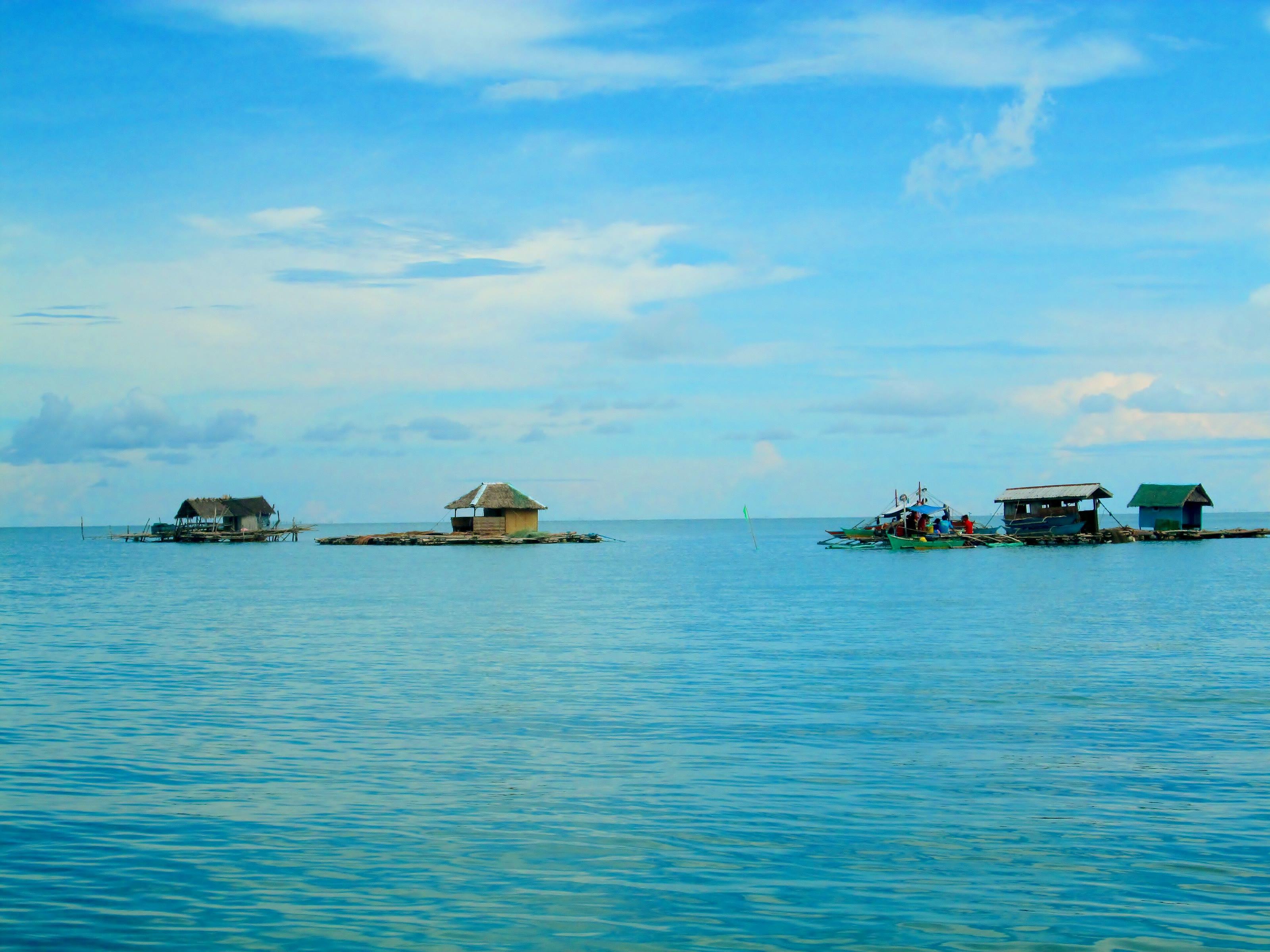
Dumaran is in northeastern Palawan and takes in part of the mainland and part of Dumaran Island, which it shares with Araceli. It is known for the Banawa sandbar, with its beach, clear water and coral reefs.
The remaining forest holds more than 136 animal species, among them the endangered Philippine cockatoo, the Philippine pangolin and the Palawan forest turtle.
- Nearest gateway
- Puerto Princesa International Airport, connected by road
- Area
- North Central
- On the map
- Open Dumaran in Google Maps
The local government
- Mayor
- Chard Herrera
- Vice mayor
- Jenifer Adier
- Municipality of
- Dumaran
- PSGC code
- 1705311000
- Barangays
- 16
- Land area
- 435 km²
Elected on 12 May 2025 for the term to 30 June 2028, named as on the ballot, from the count COMELEC released (via Rappler); checked 9 November 2026. An official can be suspended or replaced during a term, so the town hall has the last word.
In an emergency
Call 911Dumaran’s disaster office (MDRRMO): 0905-339-8097, 0970-144-5248
From the provincial emergency page, checked 8 November 2026. Every emergency number
Dumaran in pictures
Keep scrolling and they travel past. Press one to see it whole.
Getting to Dumaran
- From Puerto Princesa
- By road from Puerto Princesa.
- From Manila
- Fly to Puerto Princesa and continue by road. Commercial ships and ferries also serve Dumaran from Manila, Iloilo and Puerto Princesa.
Its people and its past
Before Spanish rule this was the chiefdom of Bacao, from the Tagbanua word for mangroves. Cuyonon traders and settlers came often, the first settlers from Cuyo arriving in 1875, and Dumaran became a municipality in 1961.
The Kalabukay Festival, from 14 to 18 June, marks the town's foundation day on 14 June.
Dumaran holds the Kalabukay Festival on 14-18 June for its foundation day; kalabukay is Cuyunon for the red-vented cockatoo. Kalabukay Festival - Wikipedia
Also around Dumaran
beach
Banawa Sand Bar
Sandbar in Dumaran with a beach, clear water and coral reefs; the town is known for it.
Dumaran - Wikipedianature
Dumaran Island Critical Habitat
Critical habitat at Sitio Omoi, Barangay Santo Tomas, on Dumaran Island, covering the island's last forest patches; home to the critically endangered Philippine cockatoo.
7 PH Cockatoos freed in Dumaran Island Critical Habitat - PCSDheritage
Dumaran Church and watchtower
Fortress church with a wooden watchtower, listed among Spanish colonial fortifications; the fortification is recorded as destroyed and the church as restored.
Spanish colonial fortifications in the Philippines - Wikipedia
Where it is
142 km north-east of Puerto Princesa, as the crow flies.
Places within reach