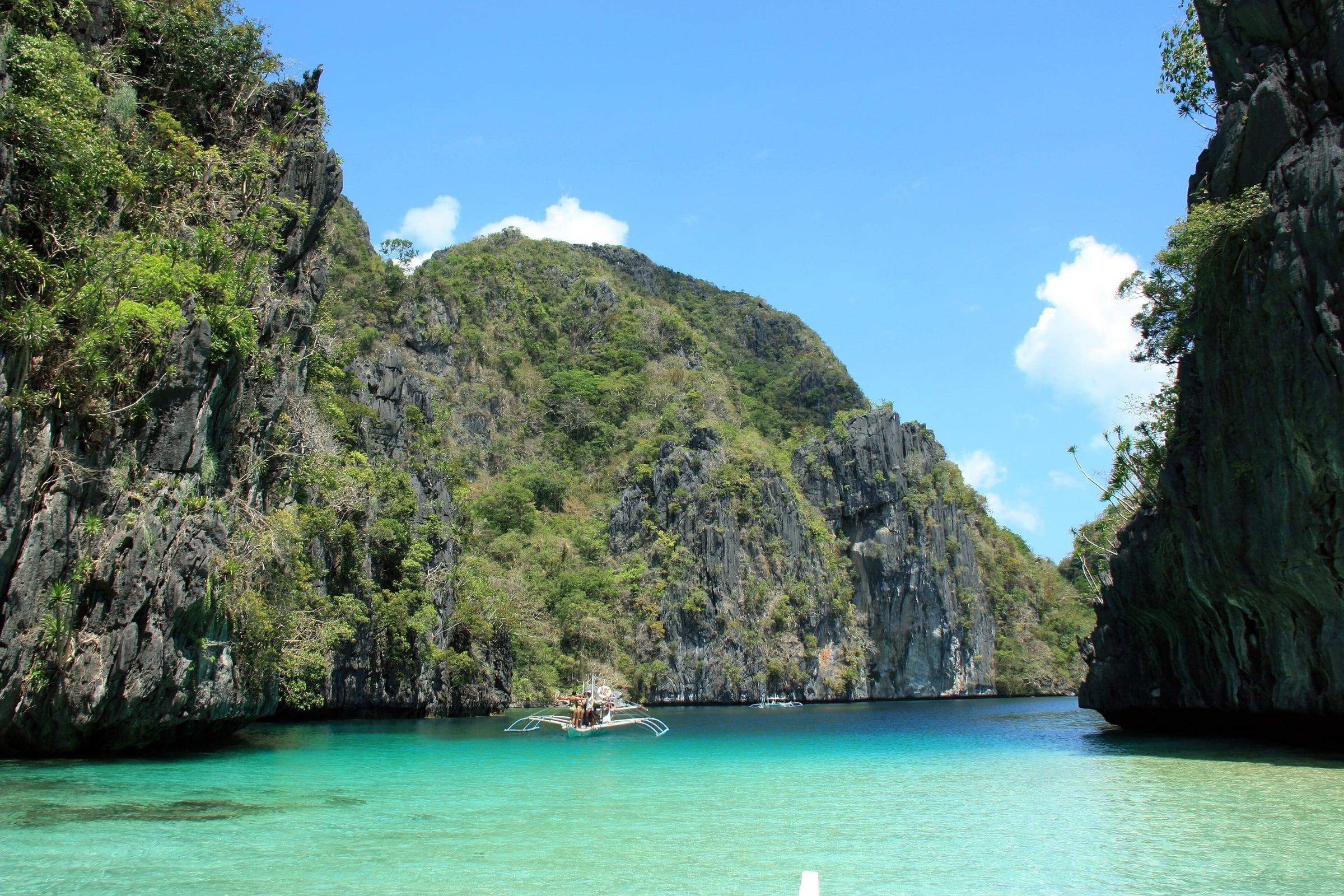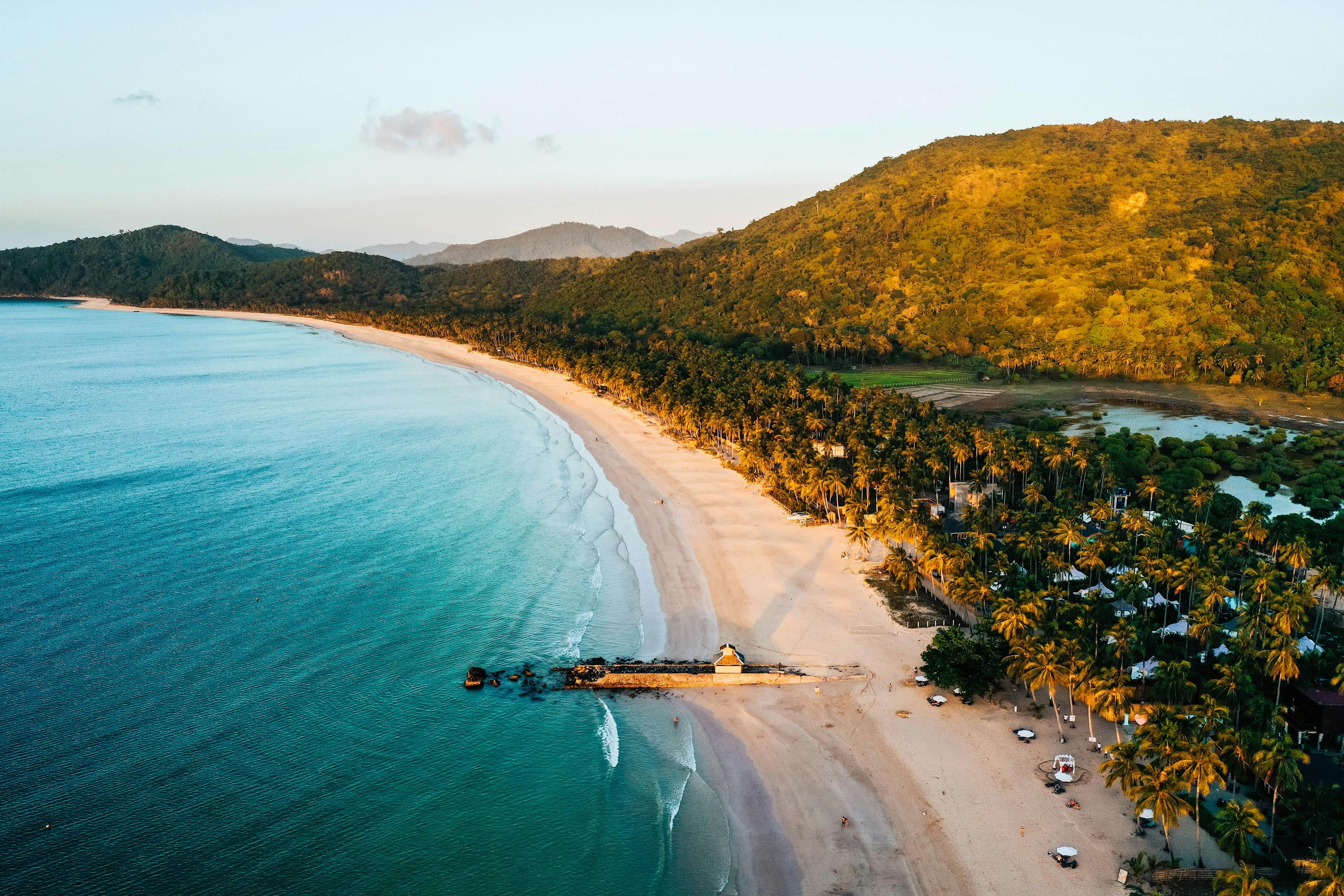
Nacpan Beach is a 4-kilometre curve of fine white sand on the open Sulu Sea coast north of El Nido town, backed by coconut groves and a low headland.
A narrow strip of land separates it from Calitang Beach next door, so the two are usually spoken of together as the twin beaches of Nacpan and Calitang.
Unlike the boat-only lagoons of Bacuit Bay, Nacpan is reached overland, which keeps it open and walkable at any hour and gives it a wider, more open feel than the enclosed lagoons closer to town.
- Best time
- November to May, dry season
- Getting there
- By tricycle, van or motorbike from El Nido town, about 17 km and 45 minutes on a paved and partly unpaved road to Barangay Bucana
- Nearest gateway
- El Nido Airport
- Where
- 11.318° N, 119.426° EOpen in Google Maps
Nacpan Beach and El Nido
Keep scrolling and they travel past. Press one to see it whole.
El Nido, the town
El Nido sits at the northern tip of mainland Palawan, on Bacuit Bay, and is the way into the Bacuit archipelago of limestone islands, white-sand beaches and coral reefs. Its marble and limestone cliffs are nesting grounds for swiftlets, whose edible nests gave the town its name.
The town and parts of neighbouring Taytay form the El Nido-Taytay Managed Resource Protected Area, declared in 1998 and covering about 903 km², some 40 percent land and 60 percent sea. Island trips leave from the town's beaches and the Philippine Ports Authority port at Buena Suerte.
Getting to El Nido
- From Puerto Princesa
- Vans leave from Puerto Princesa airport and the San Jose terminal; the ride north takes about 6 to 7 hours.
- From Manila
- Fly to El Nido Airport, about 4 km from town, where routes are run by Cebu Pacific's regional arm Cebgo since it took over AirSWIFT's flights in July 2026; or fly to Puerto Princesa and continue by road. From Coron, fast ferries take about 3.5 hours.
The local government
- Mayor
- Edna Lim
- Vice mayor
- Joel Rosento
- Municipality of
- El Nido
- PSGC code
- 1705312000
- Barangays
- 18
- Land area
- 923.3 km²
Elected on 12 May 2025 for the term to 30 June 2028, named as on the ballot, from the count COMELEC released (via Rappler); checked 9 November 2026. An official can be suspended or replaced during a term, so the town hall has the last word.
In an emergency
Call 911El Nido’s disaster office (MDRRMO): 0948-068-7540, 0975-678-9599
From the provincial emergency page, checked 8 November 2026. Every emergency number
Its people and its past
People have lived around Bacuit Bay since at least 2800 BC, and finds in the Dewil Valley may be some 14,000 years old. The town grew from Talindak, a Tagbanua village, and the Tagbanua of the area still keep much of their culture.
The Spanish called the place Bacuit. In 1954 Republic Act No. 1140 renamed it El Nido, after the swiftlet nests in its cliffs. Coconut, rice, cashew, banana and mango are its main farm products.
El Nido, formerly Bacuit, is named after the edible swiftlet nests in its limestone cliffs, the main ingredient of nido soup. El Nido, Palawan - Wikipedia
Also around El Nido
island
Cadlao Island
An island in El Nido that holds the municipality's highest peak.
El Nido, Palawan - Wikipediaheritage
Ille Cave
An archaeological site in a karst tower at New Ibajay, in Dewil Valley; excavations since 1998 have recovered human burials and thousands of artifacts.
Ille Cave - Wikipediabeach
Entalula Beach
A beach in El Nido backed by limestone cliffs and reached only by boat; first on the World's 50 Best Beaches list for 2026, second in 2025.
El Nido's Entalula Beach named world's best beach for 2026 - Palawan Newsnature
Small Lagoon
A lagoon in El Nido where, in 2018, the El Nido-Taytay protected-area management board limited visits to 30 guests at a time and 15 kayaks.
DENR regulating El Nido tourist influx - Philstarisland
Miniloc Island
An island in El Nido's Bacuit Bay, home to Miniloc, the first resort opened by El Nido Resorts.
Life's more than a beach at Miniloc - Philstar