This is Palawan
The flightAreasTownsLGUsToursGetting aroundBefore you go
This is Palawan
The flightAreasTownsLGUsToursGetting aroundBefore you go

© 2026 This is Palawan. All rights reserved.

Photographs and map data belong to their owners, credited where they appear and on the credits page.

Emergency numbersCreditsPrivacy

An area of Palawan

Calamianes

The Calamian Islands sit at the northern end of Palawan, between Mindoro and the mainland, where the South China Sea meets the Sulu Sea. Four municipalities share them: Busuanga and Coron on Busuanga Island, Culion on its own island to the south, and Linapacan, a town made entirely of islands.
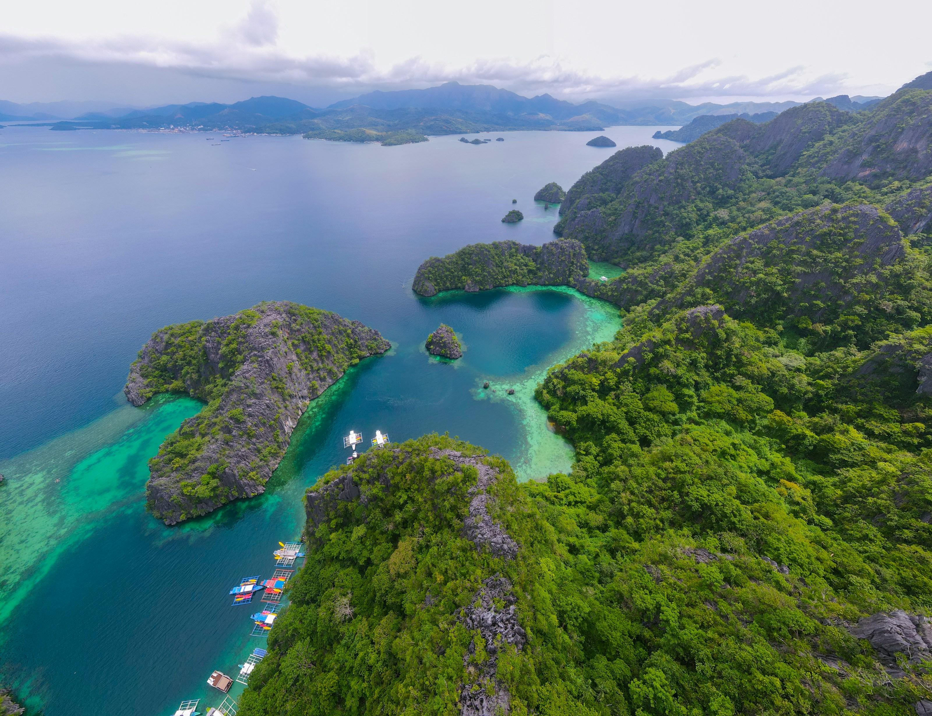
Coron from the air: forested limestone islands, turquoise lagoons and boats moored between them
Photo: Florian Delée, via Unsplash
Towns
4
Barangays
61
Land
1,777 km²
Signature places
3

Coron Island is a Tagbanua ancestral domain, Calauit has been a wildlife sanctuary since the 1970s, and the Japanese ships sunk in September 1944 now lie on the floor of the bays around Coron.

Getting around

Francisco B. Reyes Airport in Busuanga is the group's airport, about 30 to 45 minutes by van from Coron town; ferries from Manila arrive at Coron. Between the islands, travel is by boat.

Its towns
Point at a town
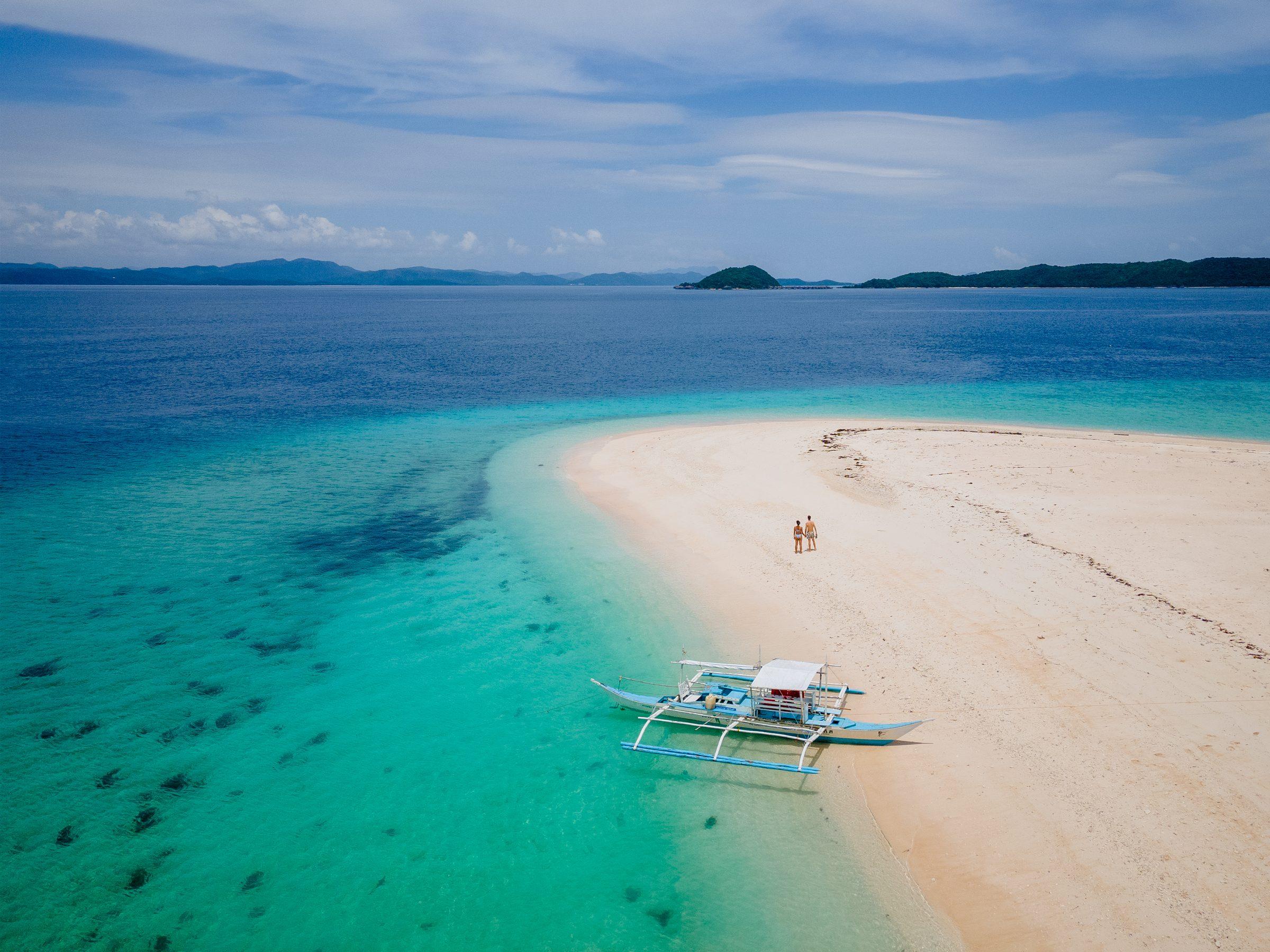
  • Aerial view of a white sandbar fringed by turquoise shallows off North Cay Island, Busuanga, with a moored outrigger boat and forested islands beyondBusuangaMunicipality, 14 barangays, 393 km²
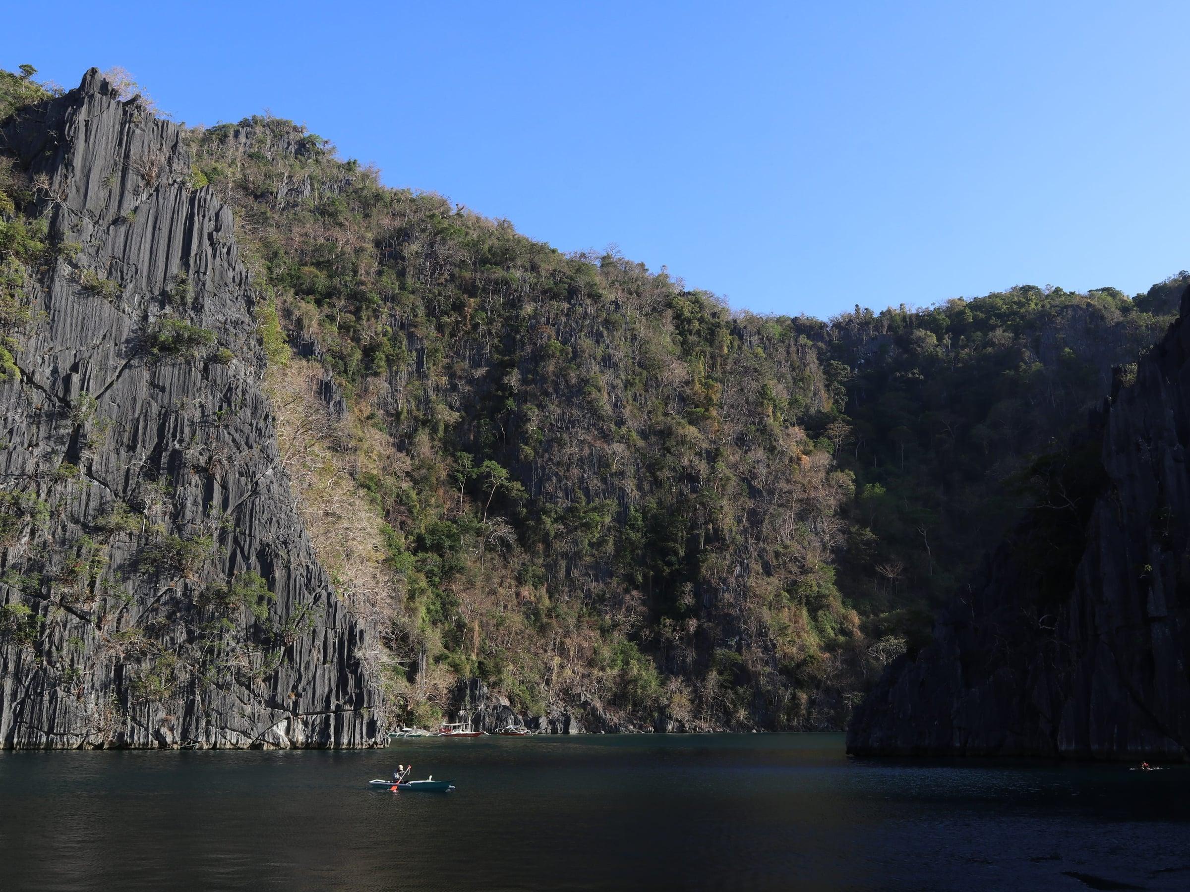
  • The west lobe of Twin Lagoon on Coron Island, still dark water enclosed by tall limestone cliffsCoronMunicipality, 23 barangays, 689 km²
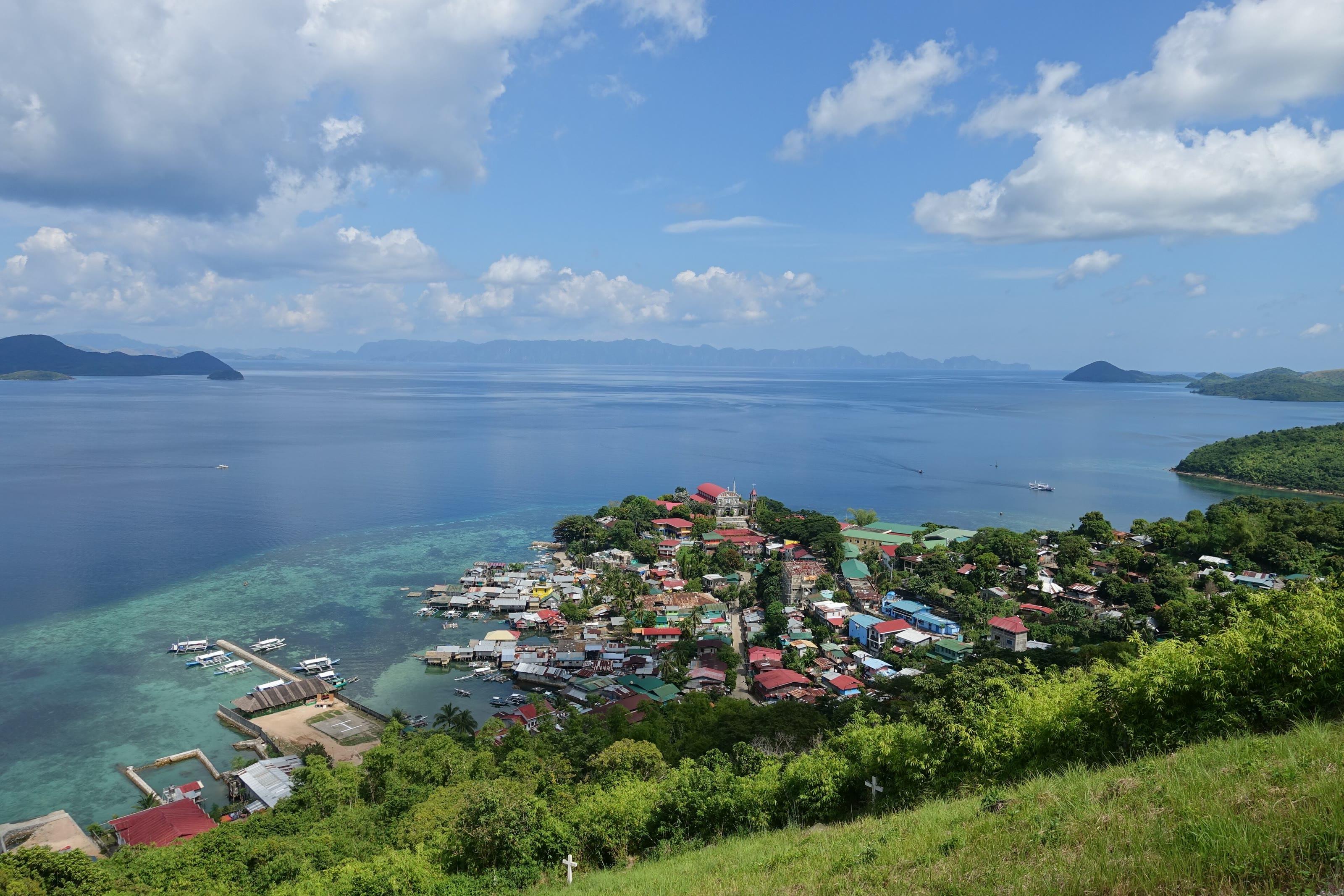
  • The town of Culion on its shore, seen from a hillside above, with the islands of the Calamianes across the waterCulionMunicipality, 14 barangays, 500 km²
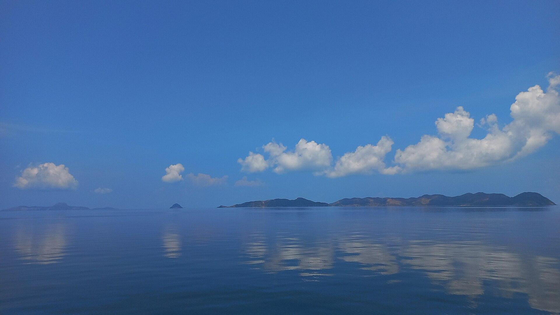
  • Nangalao Island in Linapacan, a low line on a glassy sea seen from a passing shipLinapacanMunicipality, 10 barangays, 195 km²

Calamianes in pictures

Keep scrolling and they travel past. Press one to see it whole.
Coron from the air: forested limestone islands, turquoise lagoons and boats moored between themPhoto: Florian Delée, via Unsplash
Aerial view of a white sandbar fringed by turquoise shallows off North Cay Island, Busuanga, with a moored outrigger boat and forested islands beyondPhoto: pablosievert, CC BY-SA 4.0, via Wikimedia Commons
The west lobe of Twin Lagoon on Coron Island, still dark water enclosed by tall limestone cliffsPhoto: Patrickroque01, CC BY-SA 4.0, via Wikimedia Commons
The town of Culion on its shore, seen from a hillside above, with the islands of the Calamianes across the waterPhoto: Marsmux, CC BY-SA 4.0, via Wikimedia Commons
Nangalao Island in Linapacan, a low line on a glassy sea seen from a passing shipPhoto: Paul Christian B. Yang-ed, CC BY-SA 4.0, via Wikimedia Commons
Elet Island, a limestone islet off Busuanga, seen from under the canopy of a bangkaPhoto: Paul Christian B. Yang-ed, CC BY-SA 4.0, via Wikimedia Commons
A bangka pulled up on the white sand of Dicalatan Island, Culion, under a wide skyPhoto: Princessfamiliar, CC BY-SA 4.0, via Wikimedia Commons
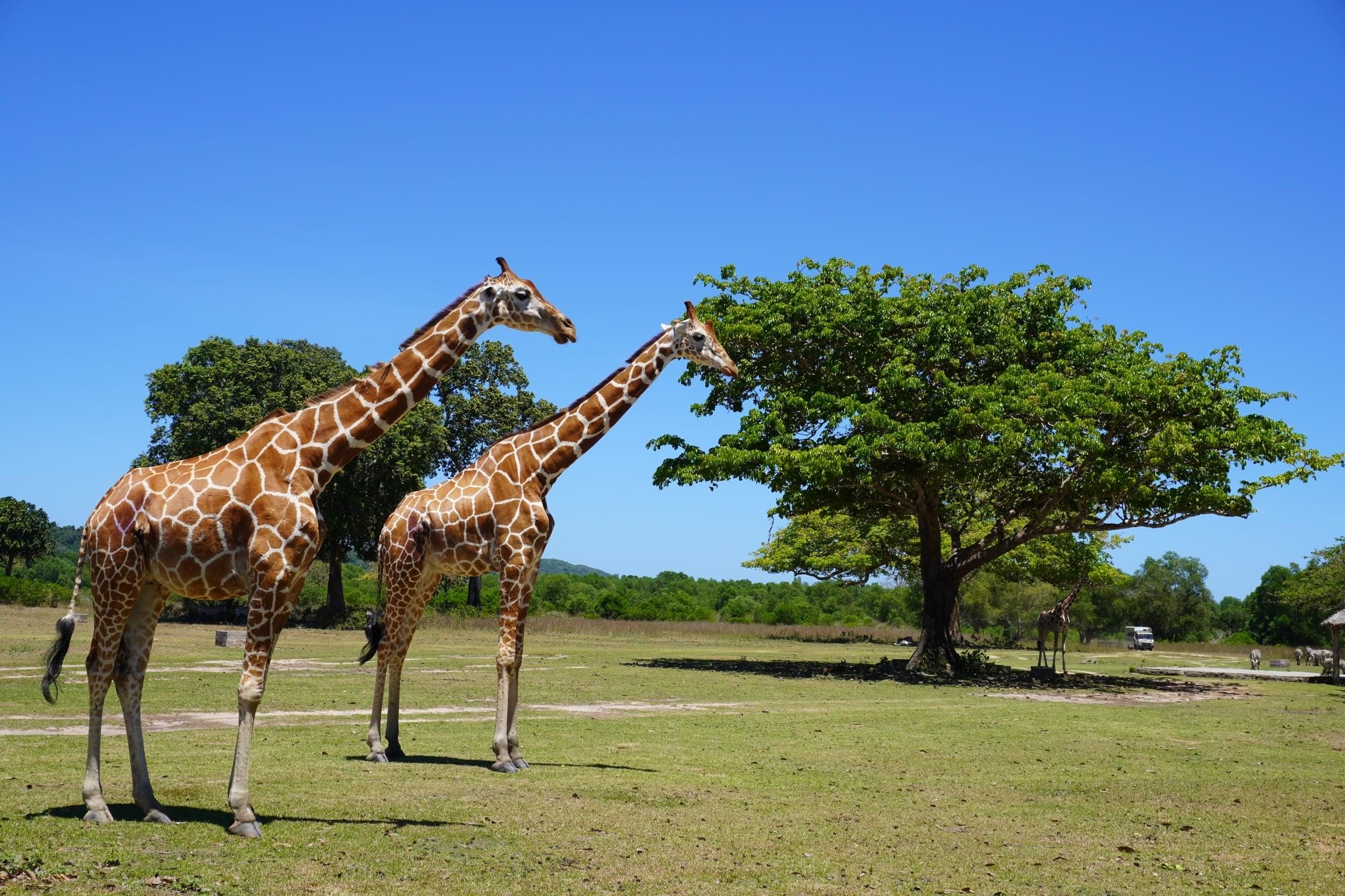
Two reticulated giraffes on open grassland under a clear sky at Calauit Safari Park, BusuangaPhoto: John Michael Tadeo, CC BY-SA 4.0, via Wikimedia Commons
Sunrise over the shallows off Coron, the sky streaked gold above a low wooded islandPhoto: Moutaz Kotrob, CC BY-SA 4.0, via Wikimedia Commons
Giraffes and zebras grazing together beneath a broad tree, with green hills behind, at Calauit Safari ParkPhoto: Heigen Villacarlos, CC BY-SA 4.0, via Wikimedia Commons
The white Coron municipal hall, with the town ambulance parked in frontPhoto: Ringer, CC BY-SA 4.0, via Wikimedia Commons
A Calamian deer, the endemic deer of the Calamian Islands, crossing a grassy clearing at CalauitPhoto: Bien02, CC BY 4.0, via Wikimedia Commons
The Catholic church in Coron town, a white facade with a pointed bell towerPhoto: Ringer, CC BY-SA 4.0, via Wikimedia Commons
Zebras grazing on a wide green lawn edged by trees at Calauit Safari ParkPhoto: Jordan Balintac, CC BY-SA 4.0, via Wikimedia Commons
Limestone peaks of Coron Island around a turquoise cove full of moored bangkasPhoto: geLowfish, CC BY-SA 4.0, via Wikimedia Commons
Close view of a reticulated giraffe's head and patterned neck against green foliage on Calauit IslandPhoto: lumoplank, CC0, via Wikimedia Commons
Coron Public Market on the waterfront, bangkas tied up along the quayPhoto: André Héroux, CC BY 3.0, via Wikimedia Commons
A giraffe under a tree on the grass at Calauit Safari ParkPhoto: Paulo Ordoveza, CC BY 2.0, via Wikimedia Commons
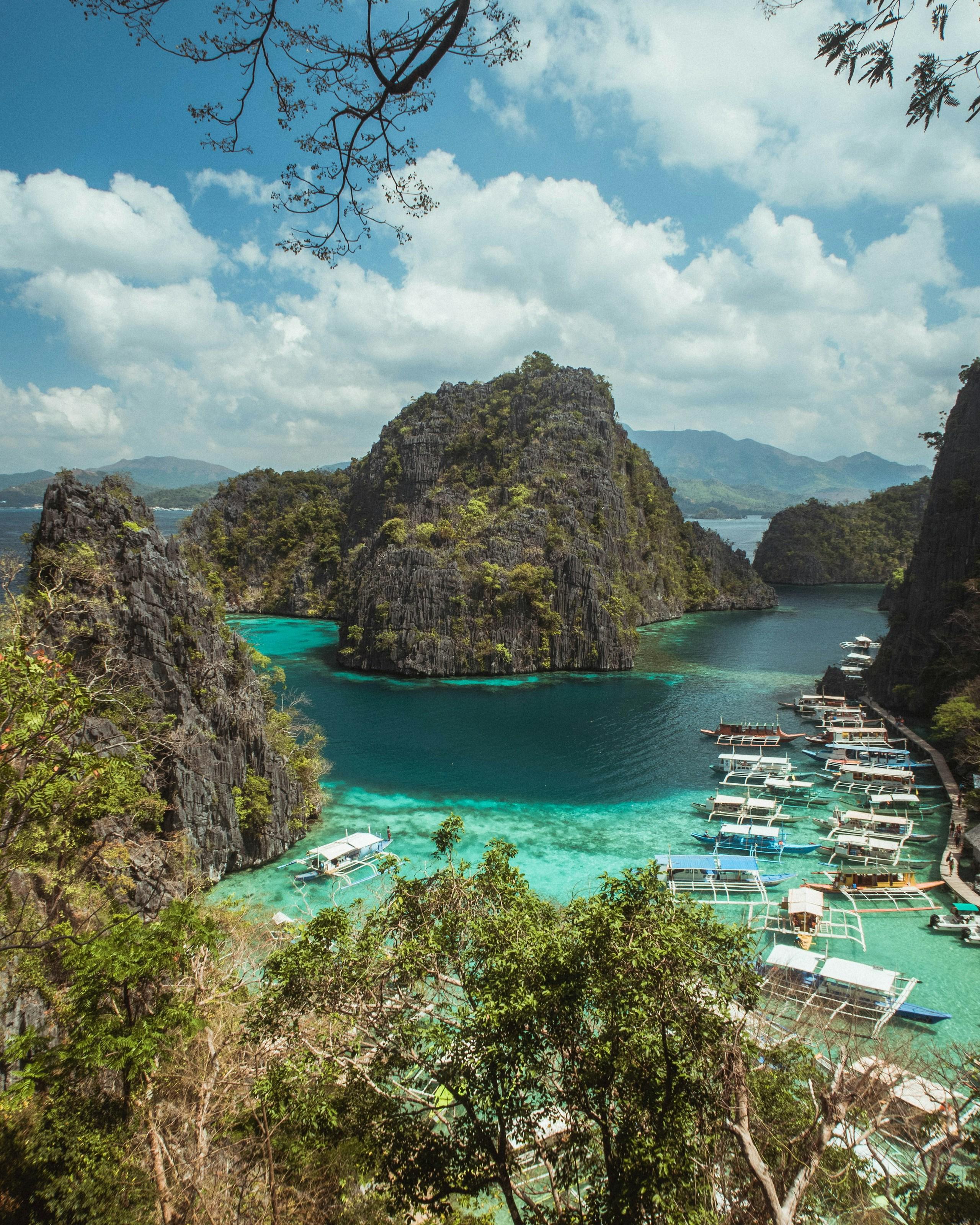
Limestone islets above the turquoise cove below the Kayangan Lake viewpoint, with outrigger boats moored along the shore, Coron IslandPhoto: Giuliano Gabella, via Unsplash
Zebras resting in the shade of a big tree at Calauit Safari ParkPhoto: Nairbest10, CC BY-SA 4.0, via Wikimedia Commons
Karst islets in the cove below the Kayangan Lake viewpoint, framed by trees on the ridge, Coron IslandPhoto: M Becher, via Unsplash
Outrigger boats in the turquoise cove between limestone cliffs at Kayangan Lake, with the hills of Busuanga beyondPhoto: Carla Cervantes, via Unsplash
The clear green water of Kayangan Lake between two wooden walkwaysPhoto: Rollymagpayo, CC BY-SA 4.0, via Wikimedia Commons
Looking down from the trail at Kayangan Lake's cove, limestone on every sidePhoto: Jordan Balintac, CC BY-SA 4.0, via Wikimedia Commons

Places in Calamianes

  • Two reticulated giraffes on open grassland under a clear sky at Calauit Safari Park, BusuangaCalauit Safari ParkBusuanga
  • Limestone islets above the turquoise cove below the Kayangan Lake viewpoint, with outrigger boats moored along the shore, Coron IslandKayangan LakeCoron
  • The west lobe of Twin Lagoon on Coron Island, still dark water enclosed by tall limestone cliffsTwin LagoonCoron
South of hereEl Nido and Taytay