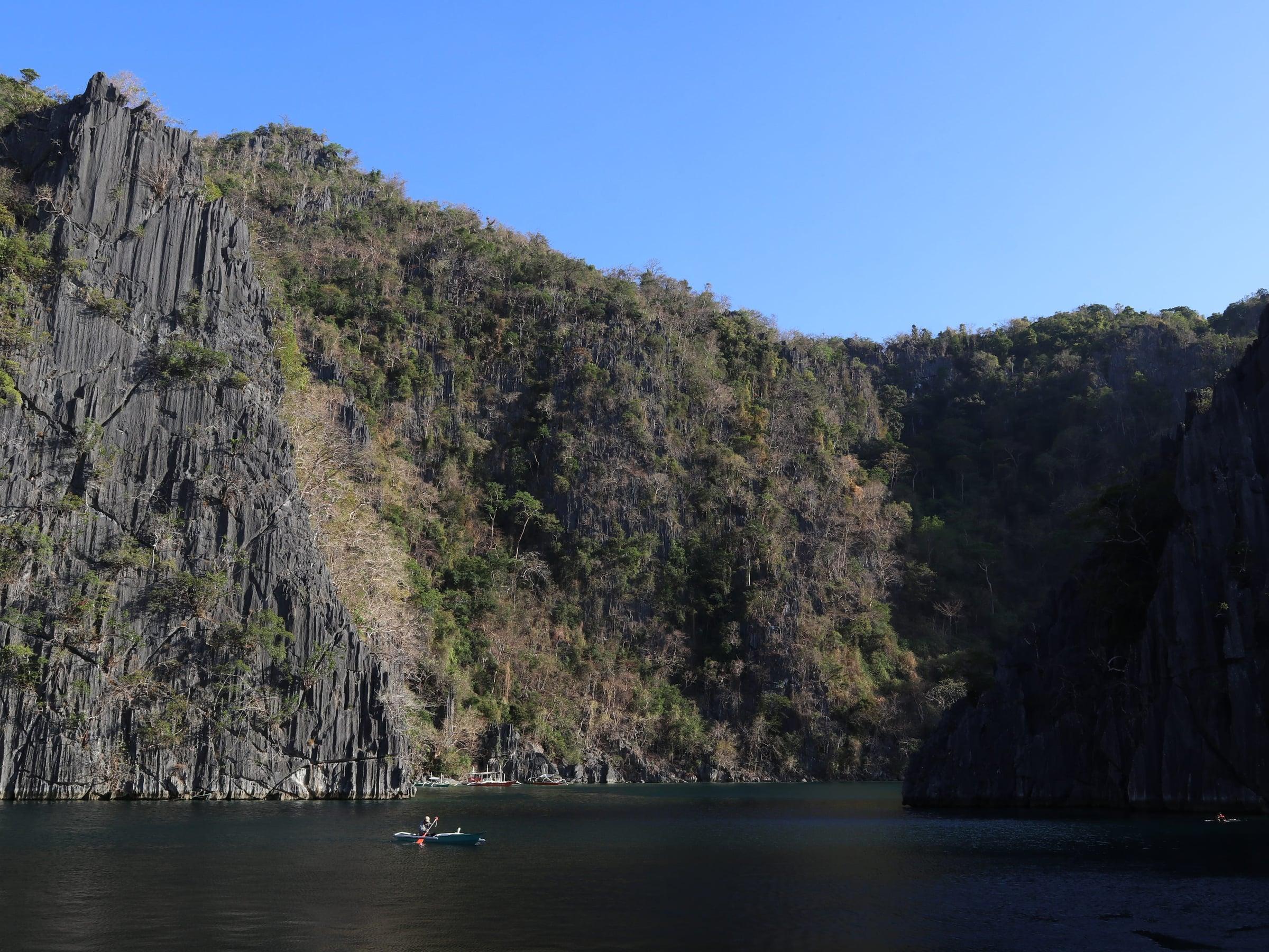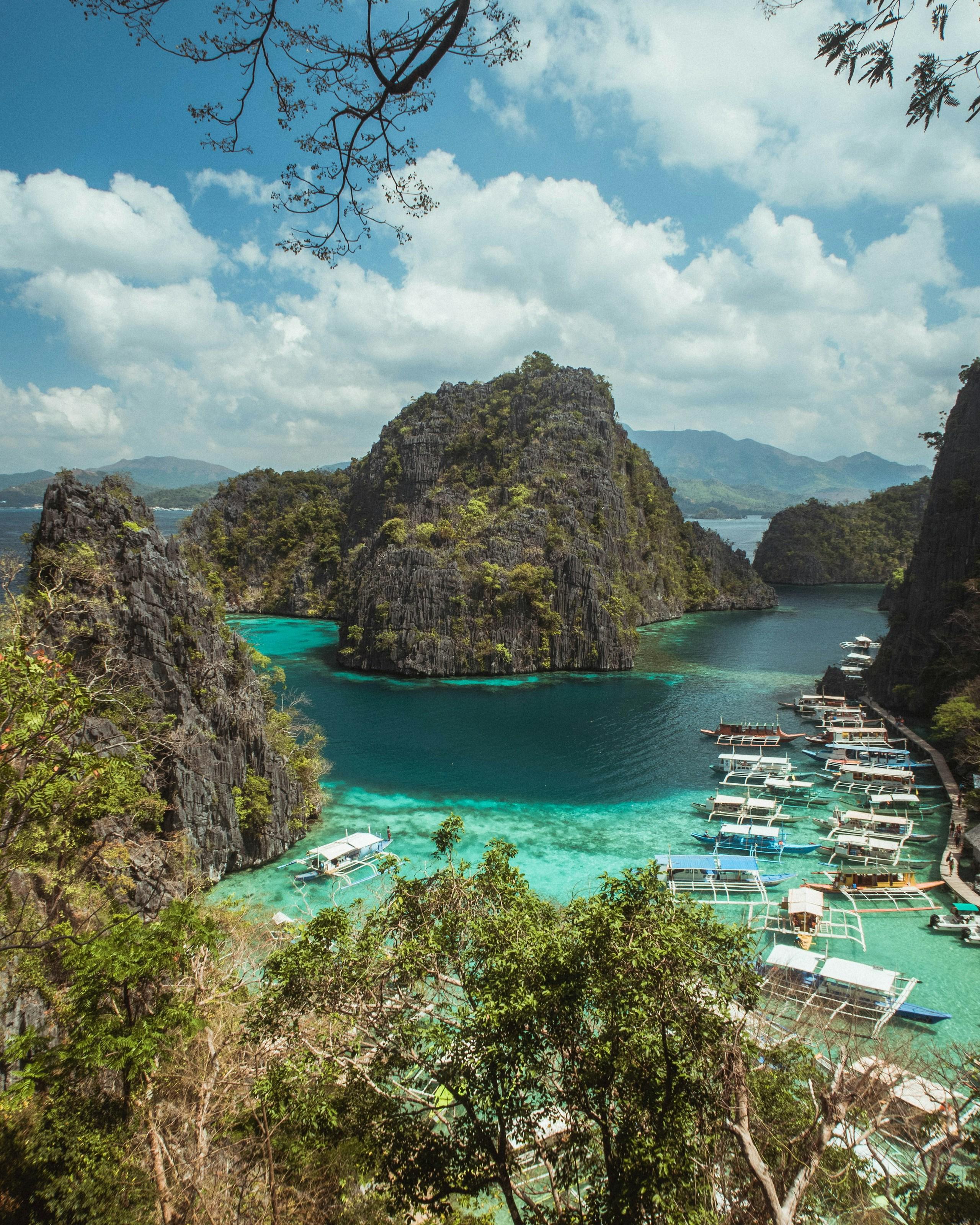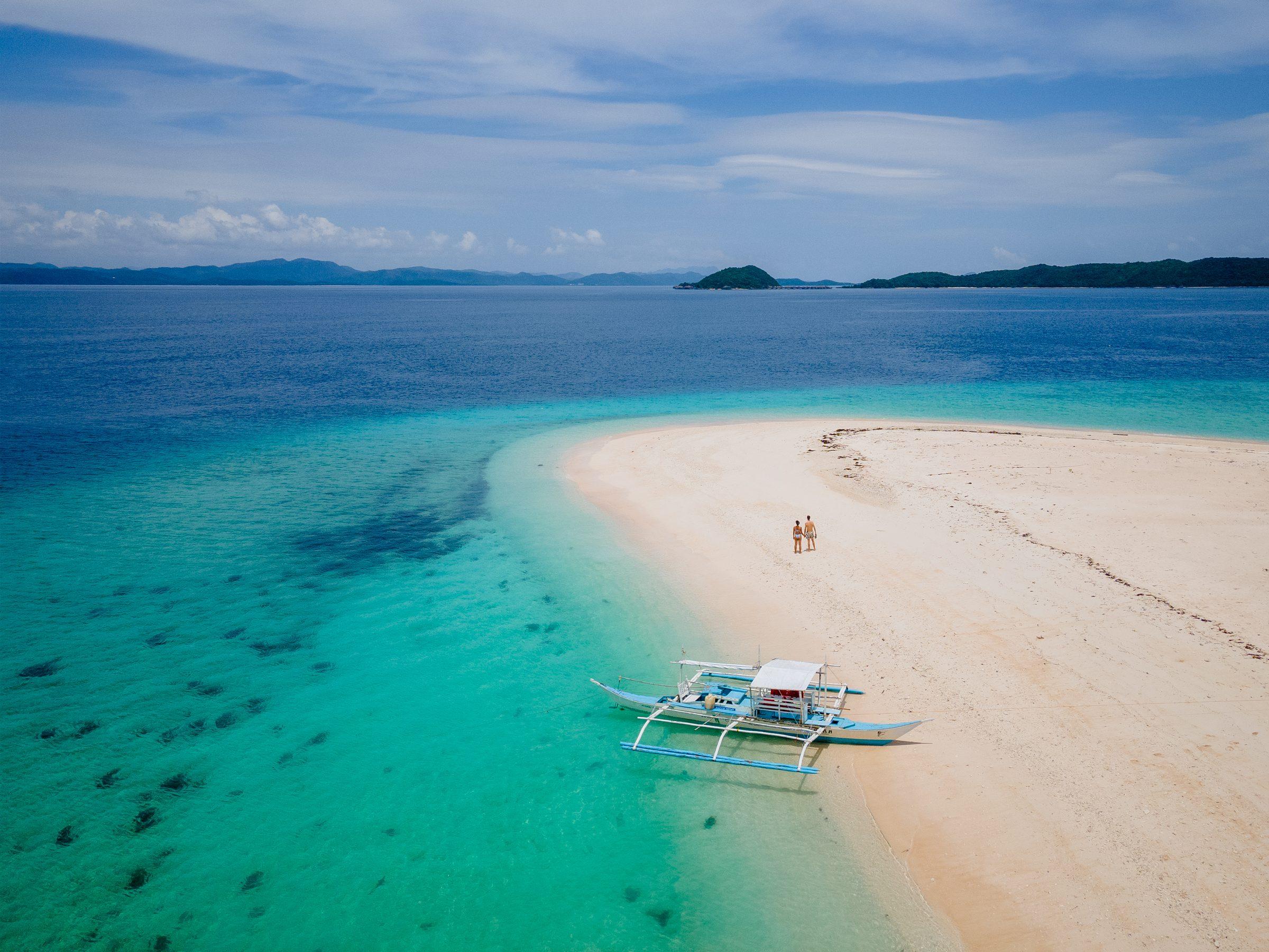
Busuanga takes up the western third of Busuanga Island, the largest of the Calamian Islands at the northern tip of Palawan, together with Calauit Island and a scatter of islets. The interior is rough and mountainous, with molave forest and cogon grassland on the Chinabayan and Salvacion ranges, and flatter ground near the coast given to rice.
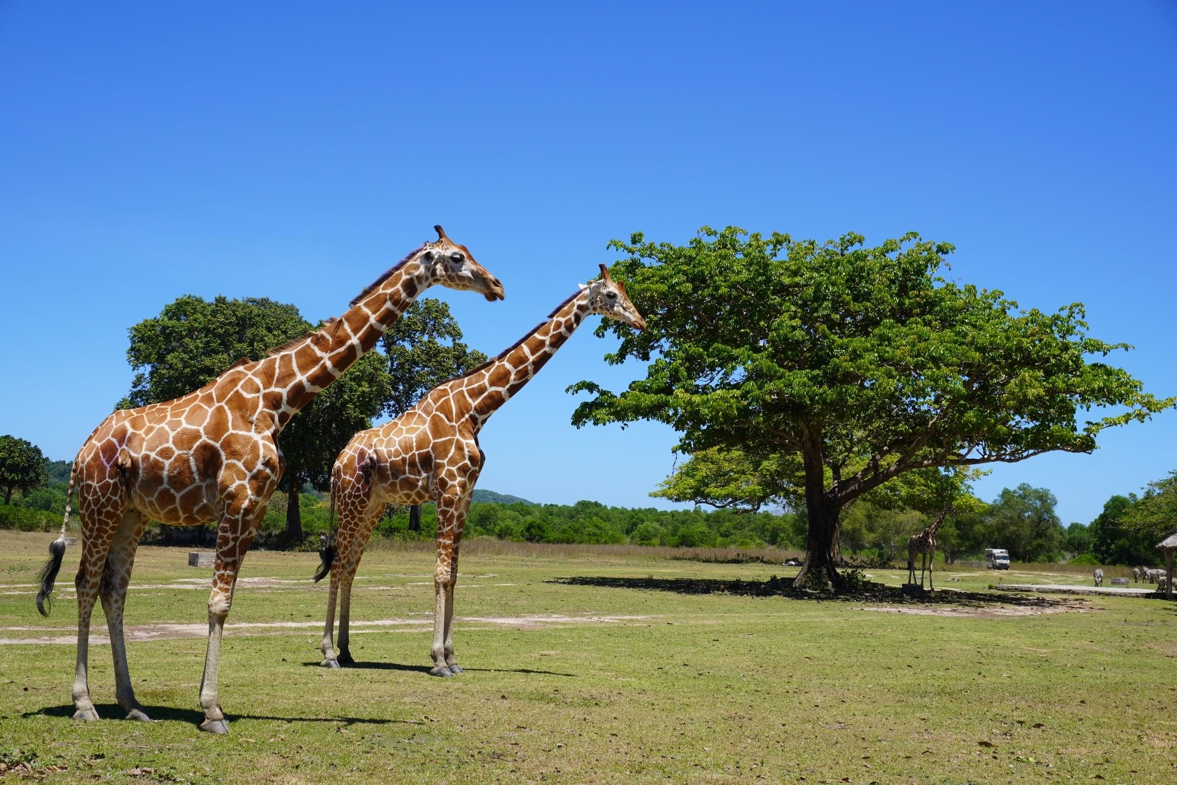
The Calamianes' airport sits inside the municipality, in Barangay Decalachao, so many visitors to the northern islands land here first. Calauit Island, off the northwest coast, has been a game preserve and wildlife sanctuary since the late 1970s, when giraffes, zebras and other animals were brought over from Kenya.
Busuanga became a municipality separate from Coron under Republic Act No. 560 in 1950, and its seat has been at Salvacion since 1974.
- Nearest gateway
- Francisco B. Reyes Airport (USU), Barangay Decalachao, Busuanga
- Best months
- December to May, the dry season, per the municipal tourism site. June to November brings more rain, with occasional typhoons from June to September.
- Area
- Calamianes
- On the map
- Open Busuanga in Google Maps
The local government
- Mayor
- RC Cruz
- Vice mayor
- Beth Cervantes
- Municipality of
- Busuanga
- PSGC code
- 1705307000
- Barangays
- 14
- Land area
- 392.9 km²
Elected on 12 May 2025 for the term to 30 June 2028, named as on the ballot, from the count COMELEC released (via Rappler); checked 9 November 2026. An official can be suspended or replaced during a term, so the town hall has the last word.
In an emergency
Call 911Busuanga’s disaster office (MDRRMO): 0966-476-1174
From the provincial emergency page, checked 8 November 2026. Every emergency number
Busuanga in pictures
Keep scrolling and they travel past. Press one to see it whole.
Getting to Busuanga
- From Manila
- Flights from Manila to Francisco B. Reyes Airport take about 1 to 1.5 hours, with several departures a day; there are also flights from Cebu and Clark. By sea, 2GO and Atienza Inter-Island Ferries sail between Manila and Coron, roughly 13 hours, and boats run daily from El Nido in 3.5 to 6 hours.
Its people and its past
Local oral tradition holds that Busuanga Island was once the domain of a Cuyonon datu, one of four who ruled the islands around Cuyo, Taytay and the Calamianes. Augustinian Recollect missionaries reached the island in 1622, and the old barrio now called Old Busuanga is the town's first settlement.
Manganese was mined on the island from the late 1930s, which drew Japanese occupation in the Second World War. On 24 September 1944, American aircraft sank several Japanese ships off the Concepcion coast, part of the same raid that left the wrecks now dived around Coron Bay.
Signature places in Busuanga
Also around Busuanga
island
Black Island (Malajem)
Island known locally as Malajem and named for its dark karst cliffs. Its small caves hold freshwater pools, and a WWII shipwreck lies off its beach.
BUSUANGA: 20 Must-See Attractions in 'The Last Shade of Paradise' (Palawan News, 2019)falls
Concepcion Falls
Small waterfall 17 km by land from Busuanga's town proper, less than 10 minutes' walk from a registration centre by the main road. Its plunge pool is used for swimming.
BUSUANGA: 20 Must-See Attractions in 'The Last Shade of Paradise' (Palawan News, 2019)falls
Chinibayan Falls
Waterfall in the forest of Barangay New Busuanga, 16 km north of the poblacion. It is reached by road, then a 30-minute to one-hour trek, and may dry up in summer.
BUSUANGA: 20 Must-See Attractions in 'The Last Shade of Paradise' (Palawan News, 2019)heritage
Okikawa Maru wreck
Wreck of a World War II oil tanker off the coast of Barangay Concepcion, lying 10 to 26 metres down. It is a dive for open-water and wreck divers.
BUSUANGA: 20 Must-See Attractions in 'The Last Shade of Paradise' (Palawan News, 2019)beach
Aban-Aban Long Beach
Long white-sand beach in the north of Calauit Island. Dugongs graze in seagrass beds a few hundred metres from the shore.
BUSUANGA: 20 Must-See Attractions in 'The Last Shade of Paradise' (Palawan News, 2019)island
West Nalaut Island (Dao Island)
Uninhabited private island of 47.9 hectares, about 16 km off Busuanga's western coast. It has a crescent white-sand beach and coral reefs used for snorkelling.
BUSUANGA: 20 Must-See Attractions in 'The Last Shade of Paradise' (Palawan News, 2019)
Where it is
295 km north-east of Puerto Princesa, as the crow flies.