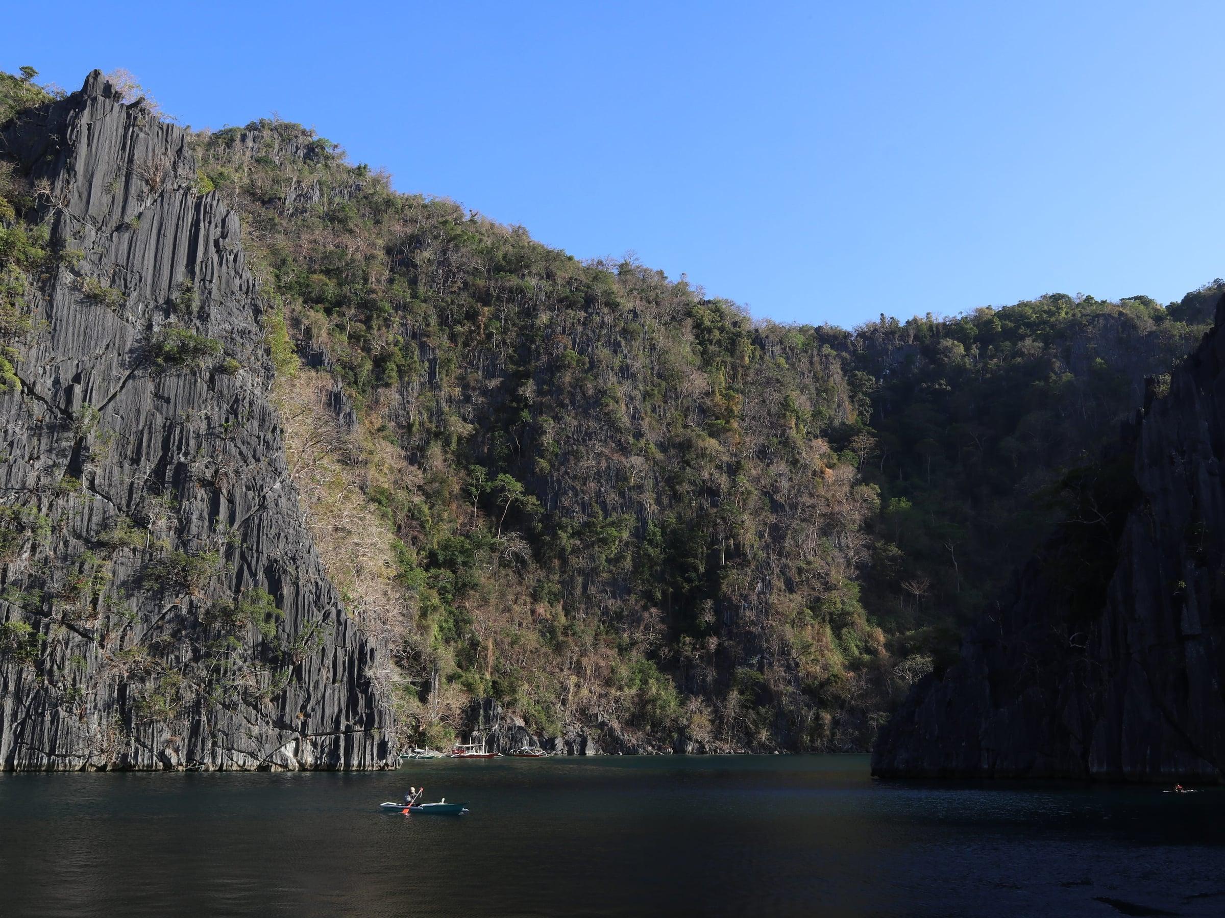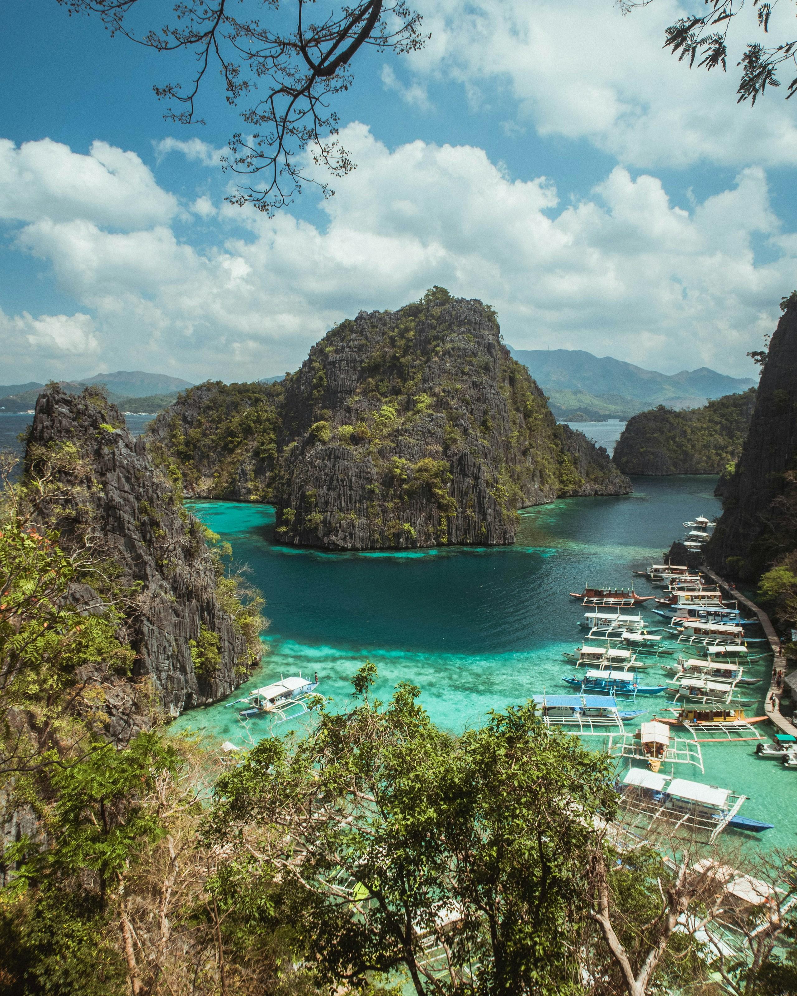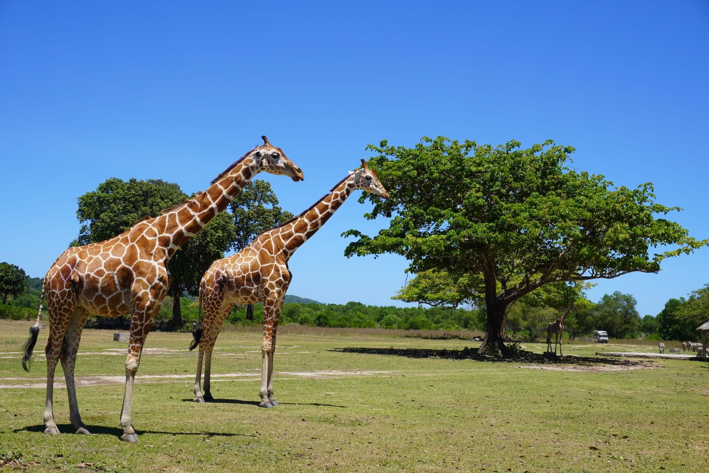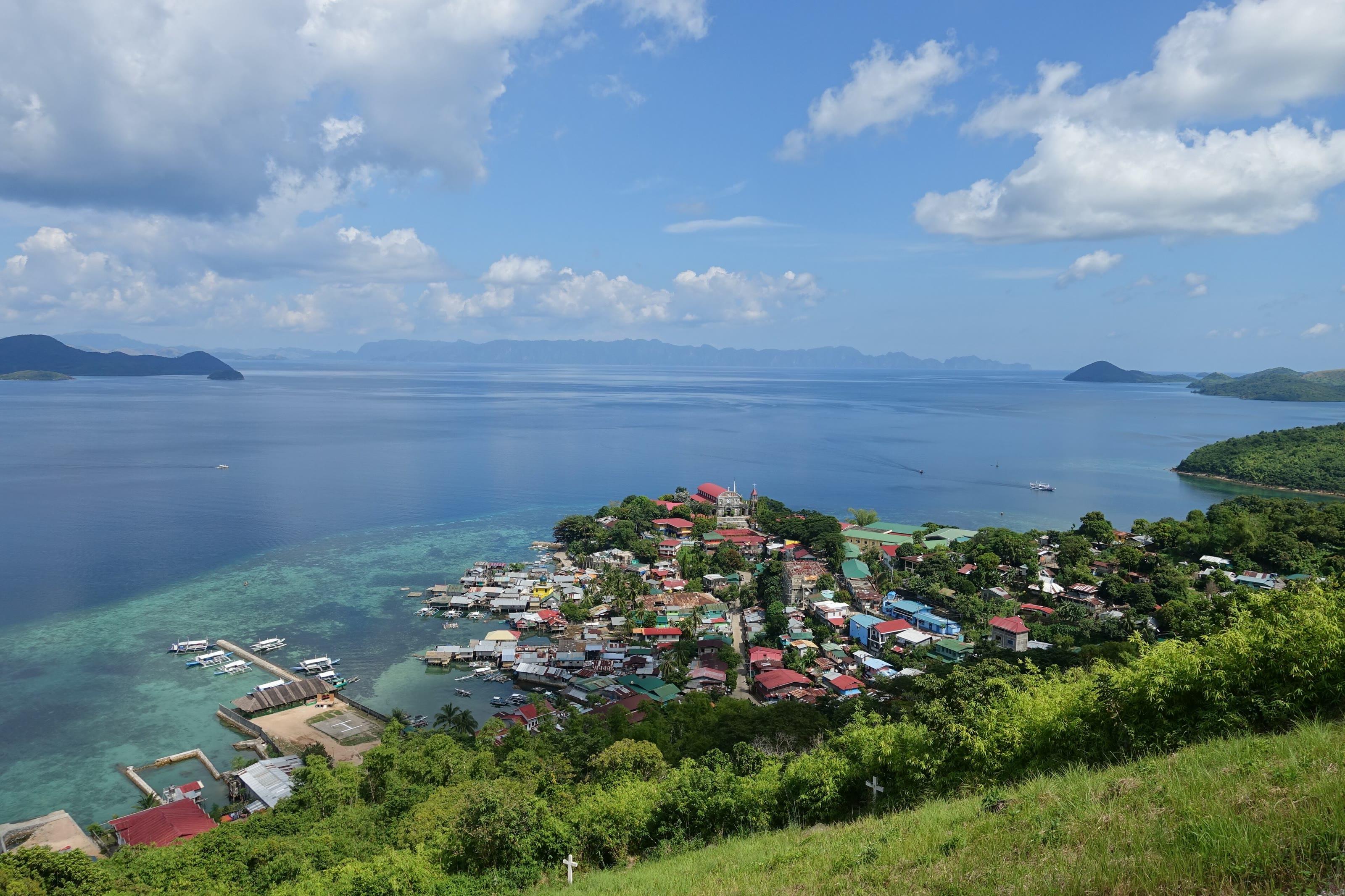
Culion is made up mainly of Culion Island and some forty smaller islands in the Calamian group, with Busuanga Island to the north, the Coron reefs to the east and Linapacan to the south.
For most of the twentieth century the island was a leprosy colony. It became a municipality of its own under Republic Act No. 7193, dated 19 February 1992, and in 2006 the World Health Organization declared it free of leprosy.
- Area
- Calamianes
- On the map
- Open Culion in Google Maps
The local government
- Mayor
- Oyet de Vera
- Vice mayor
- Vinyang de Vera
- Municipality of
- Culion
- PSGC code
- 1705322000
- Barangays
- 14
- Land area
- 499.6 km²
Elected on 12 May 2025 for the term to 30 June 2028, named as on the ballot, from the count COMELEC released (via Rappler); checked 9 November 2026. An official can be suspended or replaced during a term, so the town hall has the last word.
In an emergency
Call 911Culion’s disaster office (MDRRMO): 0967-396-9828, 0999-705-1595
From the provincial emergency page, checked 8 November 2026. Every emergency number
- Municipality of CulionOfficial website, opens in a new tab
- Culion Municipality on FacebookFacebook page, opens in a new tab
Culion in pictures
Keep scrolling and they travel past. Press one to see it whole.
Its people and its past
The colony opened in 1906, when the American administration brought the first 370 patients from Cebu; by 1910 more than five thousand people had been sent to the island. Its records, kept at the Culion Museum and Archives, were inscribed on UNESCO's Memory of the World Register for Asia and the Pacific in 2018.
The Tagbanua are the island's first people. Barangay Carabao was created for the Tagbanua community under Republic Act No. 9032 in 2001. The Spanish left a church and fort at Libis, built around 1670 as a defence against raids.
Culion was a leper colony from 1906 and once sheltered one of Asia's largest populations of people with leprosy, between 3,500 and 4,000. Culion leper colony - Wikipedia
The Culion Leprosy Archives were inscribed in 2018 on UNESCO's Memory of the World Register for Asia and the Pacific. Culion - Wikipedia
Also around Culion
heritage
Culion Museum and Archives
Museum in the former laboratory building of the Culion leper colony, inside the Culion Sanitarium and General Hospital compound. It was declared a National Cultural Treasure in 2024.
Culion Museum and Archives - Wikipediaheritage
Fort Culion
Spanish-era citadel built in 1740 by the Recollect Augustinians for defence. It is now in ruins, serves as a lighthouse, and its cannons are still visible.
Fort Culion - Wikipediaheritage
Immaculate Conception Church (Culion Church)
Parish church in Culion proper whose walls the Jesuits built with coral stones taken from Fort Culion.
Fort Culion - Wikipedia
Where it is
276 km north-east of Puerto Princesa, as the crow flies.
Its nearest towns
Places within reach