This is Palawan
The flightAreasTownsLGUsToursGetting aroundBefore you go
This is Palawan
The flightAreasTownsLGUsToursGetting aroundBefore you go

© 2026 This is Palawan. All rights reserved.

Photographs and map data belong to their owners, credited where they appear and on the credits page.

Emergency numbersCreditsPrivacy

An area of Palawan

Sulu Sea Islands

Out in the Sulu Sea, east of the mainland, lie the Cuyo Archipelago and the reef islands of Cagayancillo. Cuyo and Magsaysay share Cuyo Island, Agutaya holds the eastern islands of the group, and Cagayancillo is the closest settlement to Tubbataha Reefs.
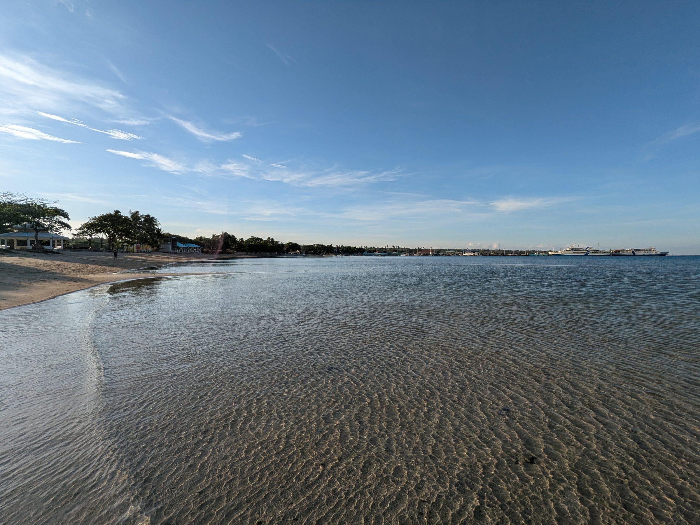
Clear shallow water over a sandy beach at Capusan, Cuyo, with the town and a ferry moored along the shoreline at dawn
Photo: LuzViMindaLife, CC BY-SA 4.0, via Wikimedia Commons
Towns
4
Barangays
50
Land
198 km²
Signature places
2

This is the home of the Cuyonon language and culture, and of Spanish-era forts at Cuyo, Agutaya and Cagayancillo that still enclose their churches.

Getting around

Cuyo Airport is in Lucbuan, Magsaysay. A weekly Montenegro Shipping Lines ferry between Puerto Princesa and Iloilo calls at Cuyo, with schedules that shift with the weather. Travel between the islands is by boat and depends on the monsoon.

Its towns
Point at a town
  • Clear shallow water over a sandy beach at Capusan, Cuyo, with the town and a ferry moored along the shoreline at dawnCuyoMunicipality, 17 barangays, 85 km²
  • AgutayaMunicipality, 10 barangays, 37 km²
  • MagsaysayMunicipality, 11 barangays, 49 km²
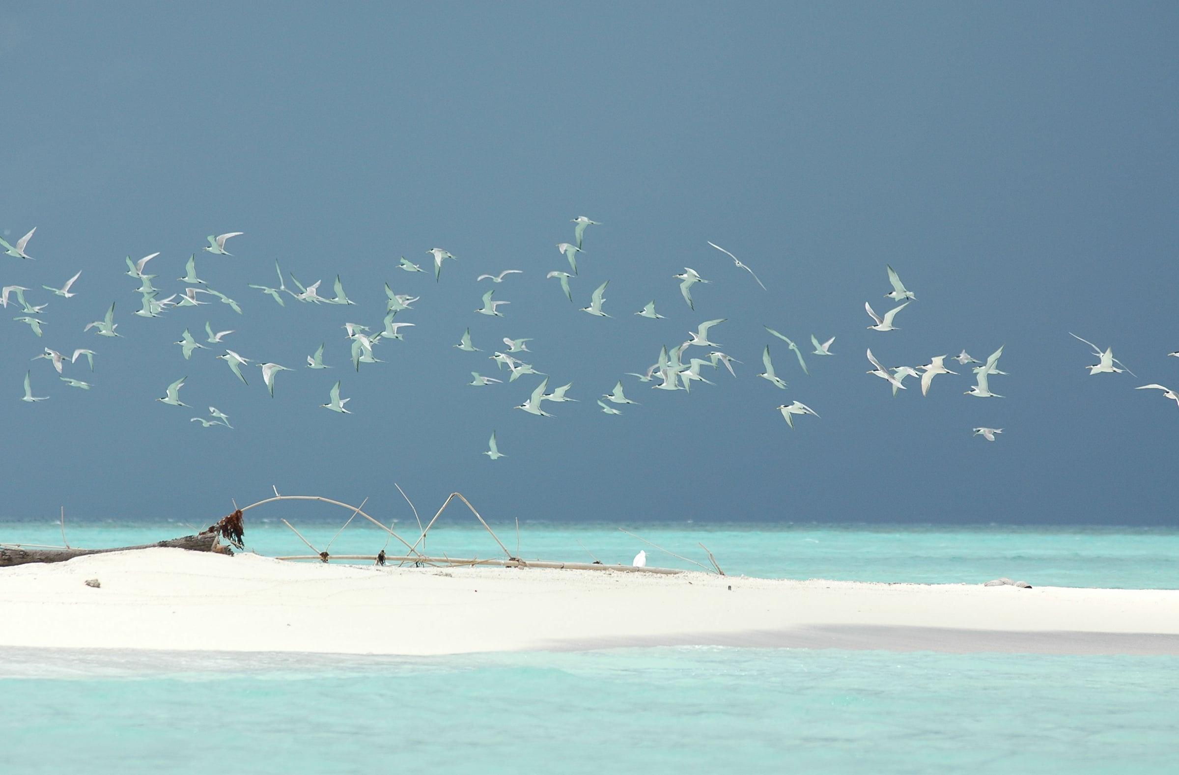
  • Flock of terns over a white sandbar and turquoise shallows at Tubbataha Reefs Natural ParkCagayancilloMunicipality, 12 barangays, 26 km²

Sulu Sea Islands in pictures

Keep scrolling and they travel past. Press one to see it whole.
Clear shallow water over a sandy beach at Capusan, Cuyo, with the town and a ferry moored along the shoreline at dawnPhoto: LuzViMindaLife, CC BY-SA 4.0, via Wikimedia Commons
Flock of terns over a white sandbar and turquoise shallows at Tubbataha Reefs Natural ParkPhoto: Ron Van Oers / UNESCO, CC BY-SA 3.0 IGO, via Wikimedia Commons
A woman standing ankle-deep on the Capusan Beach sandbar in Cuyo, looking out to seaPhoto: LuzViMindaLife, CC BY-SA 4.0, via Wikimedia Commons
The ranger station on stilts at Tubbataha, alone on the open seaPhoto: Dianathegreat2018, CC BY-SA 4.0, via Wikimedia Commons
A small orange bangka resting on the wide sand of Capusan Beach, Cuyo, at low tidePhoto: LuzViMindaLife, CC BY-SA 4.0, via Wikimedia Commons
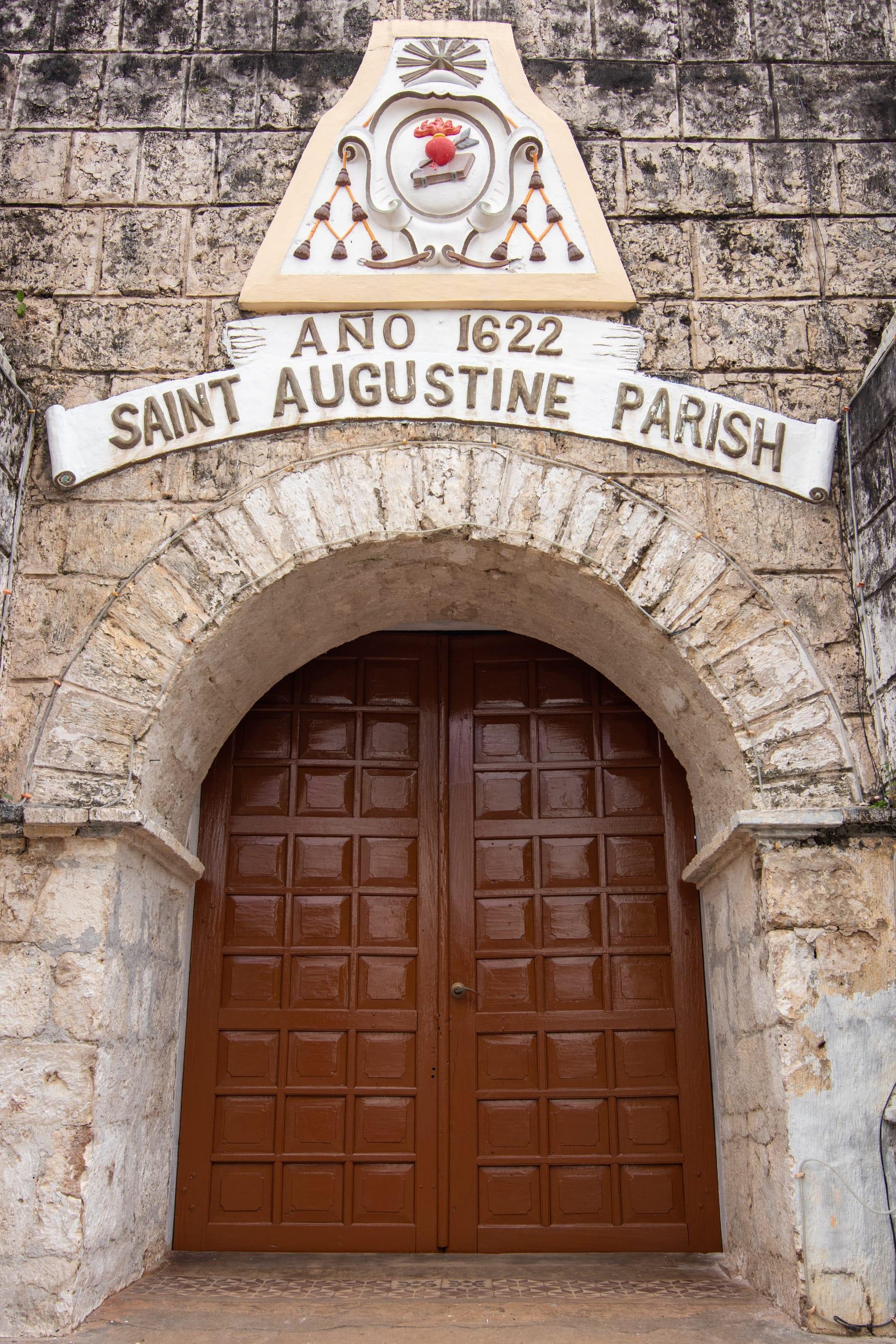
Stone archway of Fort Cuyo framing the wooden doors of Saint Augustine Parish, dated Ano 1622Photo: Carlito Palatino, CC BY-SA 4.0, via Wikimedia Commons
The coral-stone walls and church facade of Cuyo FortPhoto: National Historical Commission of the Philippines, public domain, via Wikimedia Commons

Places in Sulu Sea Islands

  • Stone archway of Fort Cuyo framing the wooden doors of Saint Augustine Parish, dated Ano 1622Fort CuyoCuyo
  • Flock of terns over a white sandbar and turquoise shallows at Tubbataha Reefs Natural ParkTubbataha Reefs Natural ParkCagayancillo
North of hereEl Nido and TaytaySouth of hereNorth Central