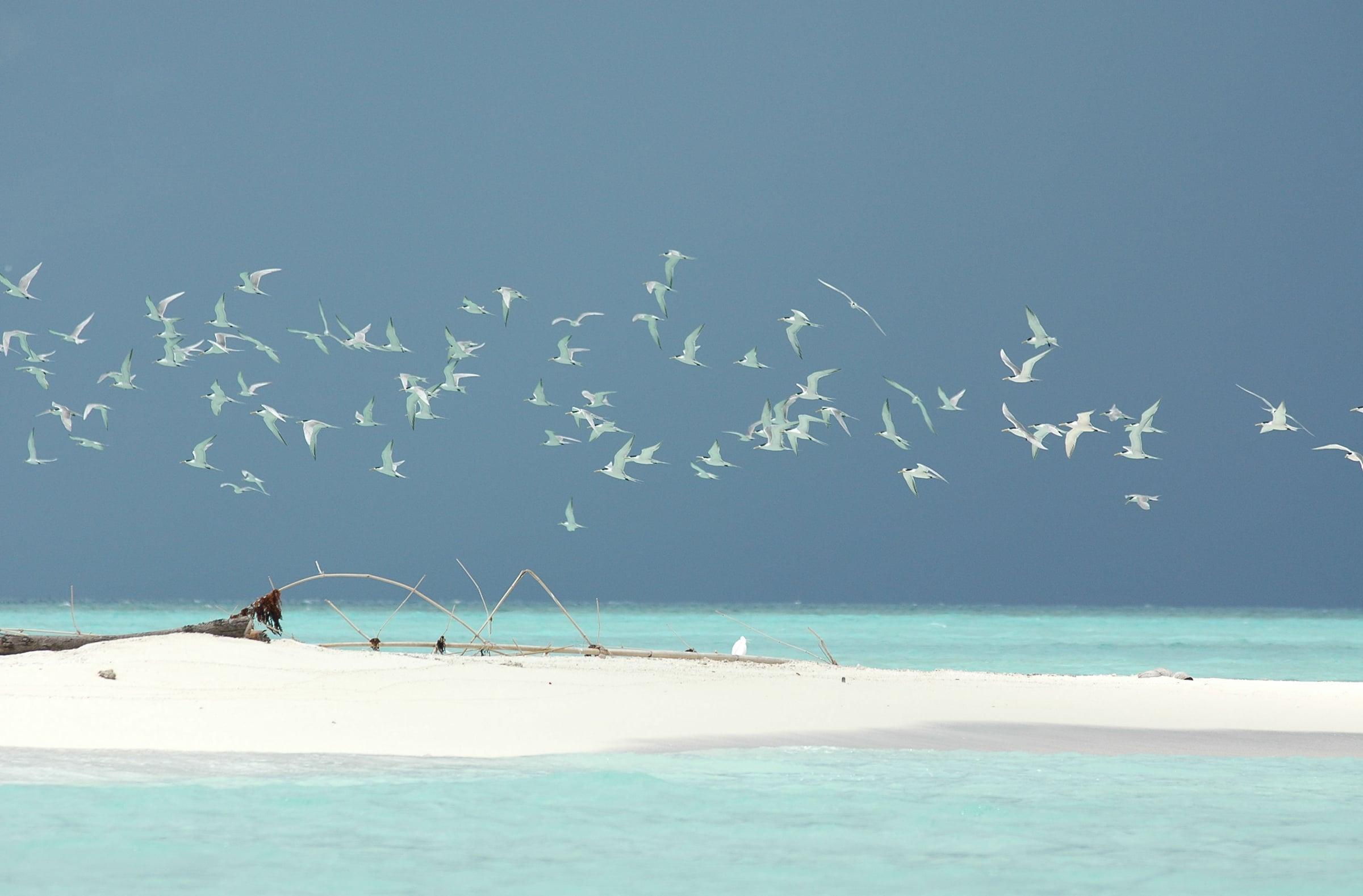
Tubbataha lies far out in the middle of the Sulu Sea, administratively part of Cagayancillo town though more than 150 kilometres from it by water. The park protects two atolls, Jessie Beazley Reef, and the surrounding deep sea, almost 97,000 hectares in total.
Its reefs hold more than 360 coral species, close to 90 percent of all coral species recorded in the Philippines, along with large numbers of reef sharks, manta rays and sea turtles.
UNESCO inscribed the park as a World Heritage Site in 1993. Because it is open sea with no permanent land facilities beyond a ranger station, it can only be visited by liveaboard dive boat, and only during the short season when the Sulu Sea is calm enough to cross.
- Best time
- mid-March to mid-June, the only window when the park's liveaboard season is open
- Getting there
- By liveaboard dive boat only, a crossing of roughly 10 hours from Puerto Princesa city across the open Sulu Sea; there is no land access or day-tripping
- Where
- 8.953° N, 119.860° EOpen in Google Maps
Tubbataha Reefs Natural Park and Cagayancillo
Keep scrolling and they travel past. Press one to see it whole.
Cagayancillo, the town
Cagayancillo is a cluster of small, low islands ringed by reefs in the middle of the Sulu Sea, about 330 km east of Puerto Princesa and nearer to Antique on Panay, some 133 km away.
It is the closest settlement to Tubbataha Reefs Natural Park, the atoll reefs in the open Sulu Sea that are a UNESCO World Heritage Site.
The local government
- Mayor
- Sergio Tapalla
- Vice mayor
- Lourdes Lanoy
- Municipality of
- Cagayancillo
- PSGC code
- 1705308000
- Barangays
- 12
- Land area
- 26.4 km²
Elected on 12 May 2025 for the term to 30 June 2028, named as on the ballot, from the count COMELEC released (via Rappler); checked 9 November 2026. An official can be suspended or replaced during a term, so the town hall has the last word.
In an emergency
Call 911Cagayancillo’s disaster office (MDRRMO): 0917-139-8622
From the provincial emergency page, checked 8 November 2026. Every emergency number
Its people and its past
Early settlers came from Panay and were known as skilled shipbuilders; under early Spanish rule the islands were governed from Arevalo in Iloilo.
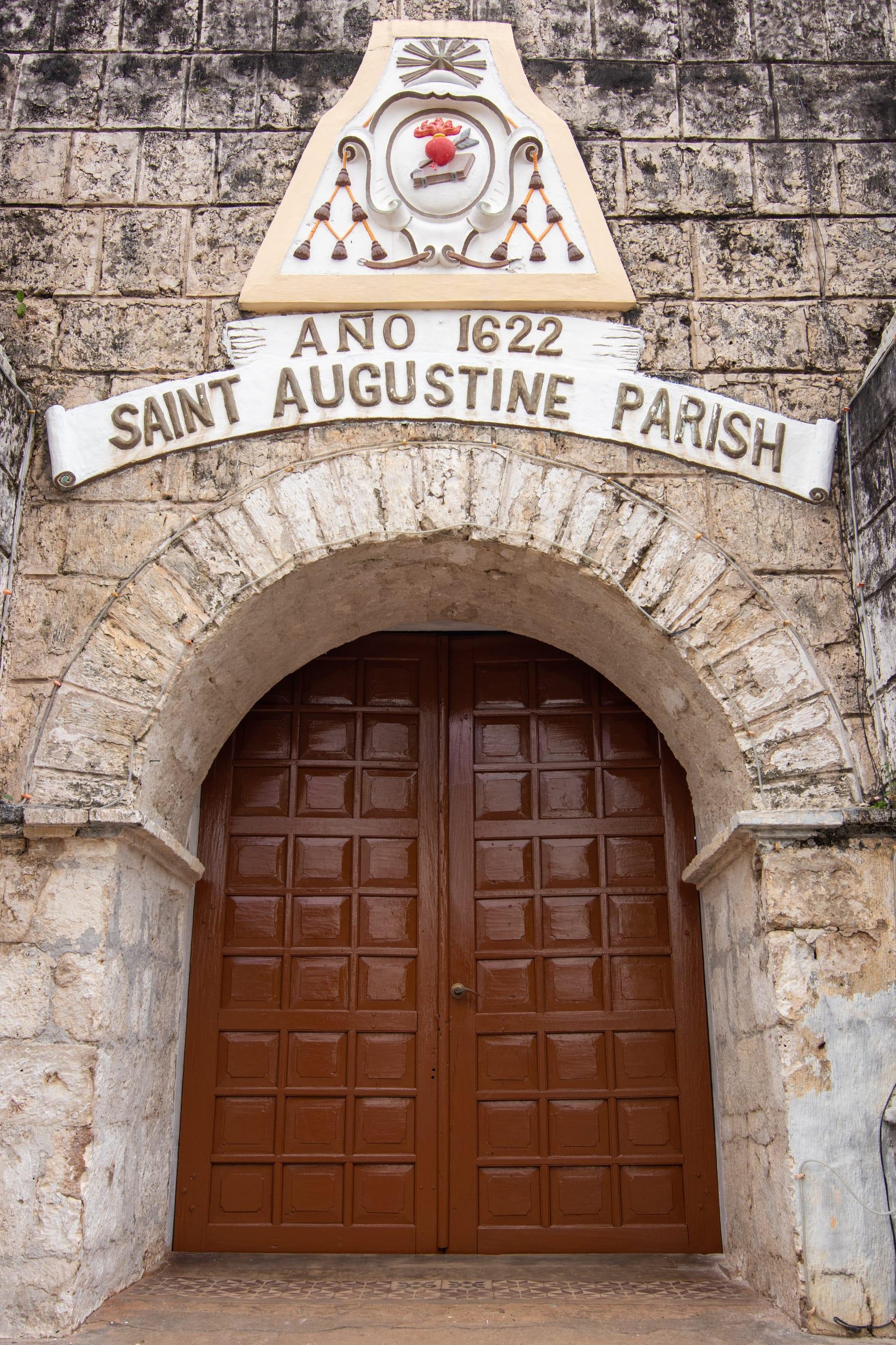
The diamond-shaped Cagayancillo Fort, of sea rock and lime with walls 12 m high and 3 m thick around a church, took about 130 years to complete and is one of the Spanish forts that still stand in Palawan.
Also around Cagayancillo
heritage
Cagayancillo Fort
A Spanish-era fort of sea rocks and lime on a high point of the coast. It encloses a church within walls 12 m high and 3 m thick.
Cagayancillo - Wikipediaisland
Calusa Island
An outlying island of Cagayancillo, run as an island sitio under Barangay Magsaysay.
Cagayancillo - Wikipediaisland
Cavili Island
An outlying island of Cagayancillo, run as an island sitio under Barangay Magsaysay.
Cagayancillo - Wikipedia